
Larry Brown Reservoir Report
Nearby: Bill Silliman Dam Lemons Gravel Dam
Last Updated: March 9, 2026
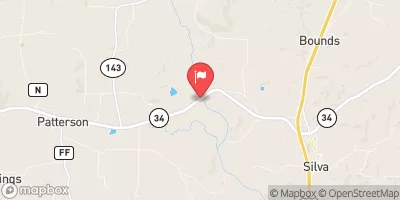
Larry Brown is a privately owned earth dam located in Stoddard, Missouri, along Delaware Creek.
Summary
Built in 1998 by the USDA NRCS, this dam stands at a height of 17 feet and has a storage capacity of 146 acre-feet. With a low hazard potential and a moderate risk assessment score of 3, Larry Brown serves multiple purposes beyond flood control, including water supply and recreation.
Despite being privately owned, Larry Brown does not fall under state jurisdiction and is not regulated or inspected by state agencies. The dam features an uncontrolled spillway and has no outlet gates. With a surface area of 2 acres and a drainage area of 38.4 square miles, this structure plays a vital role in managing water resources in the area. The risk management measures for Larry Brown are currently not specified, leaving room for potential enhancements in the future.
Overall, Larry Brown is a significant earth dam in the region, contributing to water storage and management along Delaware Creek. With its construction overseen by the Natural Resources Conservation Service, this dam continues to play a crucial role in mitigating risks and ensuring water resource sustainability in the area.
°F
°F
mph
Wind
%
Humidity
15-Day Weather Outlook
Year Completed |
1998 |
Dam Length |
1125 |
Dam Height |
11 |
River Or Stream |
DELAWARE CREEK |
Primary Dam Type |
Earth |
Surface Area |
2 |
Hydraulic Height |
10 |
Drainage Area |
38.4 |
Nid Storage |
146 |
Structural Height |
17 |
Outlet Gates |
None |
Hazard Potential |
Low |
Foundations |
Soil |
Nid Height |
17 |
Seasonal Comparison
5-Day Hourly Forecast Detail
Nearby Streamflow Levels
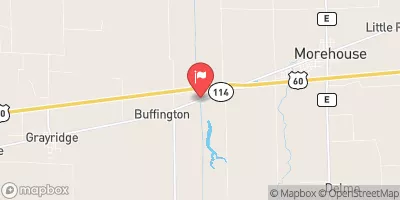 Little River Ditch No. 1 Near Morehouse
|
2000cfs |
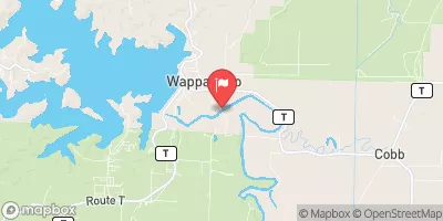 St. Francis River At Wappapello
|
6420cfs |
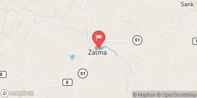 Castor River At Zalma
|
3690cfs |
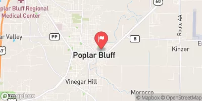 Black River At Poplar Bluff
|
3610cfs |
 St. Francis River Near Patterson
|
5370cfs |
 Little Black River Below Fairdealing
|
785cfs |
Dam Data Reference
Condition Assessment
SatisfactoryNo existing or potential dam safety deficiencies are recognized. Acceptable performance is expected under all loading conditions (static, hydrologic, seismic) in accordance with the minimum applicable state or federal regulatory criteria or tolerable risk guidelines.
Fair
No existing dam safety deficiencies are recognized for normal operating conditions. Rare or extreme hydrologic and/or seismic events may result in a dam safety deficiency. Risk may be in the range to take further action. Note: Rare or extreme event is defined by the regulatory agency based on their minimum
Poor A dam safety deficiency is recognized for normal operating conditions which may realistically occur. Remedial action is necessary. POOR may also be used when uncertainties exist as to critical analysis parameters which identify a potential dam safety deficiency. Investigations and studies are necessary.
Unsatisfactory
A dam safety deficiency is recognized that requires immediate or emergency remedial action for problem resolution.
Not Rated
The dam has not been inspected, is not under state or federal jurisdiction, or has been inspected but, for whatever reason, has not been rated.
Not Available
Dams for which the condition assessment is restricted to approved government users.
Hazard Potential Classification
HighDams assigned the high hazard potential classification are those where failure or mis-operation will probably cause loss of human life.
Significant
Dams assigned the significant hazard potential classification are those dams where failure or mis-operation results in no probable loss of human life but can cause economic loss, environment damage, disruption of lifeline facilities, or impact other concerns. Significant hazard potential classification dams are often located in predominantly rural or agricultural areas but could be in areas with population and significant infrastructure.
Low
Dams assigned the low hazard potential classification are those where failure or mis-operation results in no probable loss of human life and low economic and/or environmental losses. Losses are principally limited to the owner's property.
Undetermined
Dams for which a downstream hazard potential has not been designated or is not provided.
Not Available
Dams for which the downstream hazard potential is restricted to approved government users.
 Larry Brown