
Leifield Dam Reservoir Report
Nearby: Watts Dam Clarkkson Dam
Last Updated: January 11, 2026
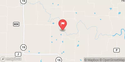
Located in Knox County, Missouri, Leifield Dam was completed in 2004 by the USDA NRCS and serves as a critical structure for grade stabilization along the TR-Saling Branch river.
°F
°F
mph
Wind
%
Humidity
Summary
The dam, primarily constructed with earth and stone core, stands at a structural height of 32 feet and has a storage capacity of 19.3 acre-feet, with a normal storage level of 13.2 acre-feet. With a low hazard potential and moderate risk assessment, the dam is classified as not rated in terms of condition assessment.
Even though Leifield Dam is privately owned, it plays a significant role in managing water resources in the area. The dam has an uncontrolled spillway and outlet gates, allowing for a maximum discharge of 11 cubic feet per second. With its design focused on grade stabilization, the dam helps prevent erosion and provides vital support in maintaining the ecological balance of the TR-Saling Branch river.
Leifield Dam's strategic location in Hunnewell, Missouri, and its contribution to water resource management make it a noteworthy structure for water resource and climate enthusiasts. With a history of responsible ownership and minimal regulatory oversight, the dam stands as a testament to effective infrastructure development for sustainable water management in the region.
Year Completed |
2004 |
Dam Length |
300 |
Dam Height |
28 |
River Or Stream |
TR-SALING BRANCH |
Primary Dam Type |
Earth |
Surface Area |
7 |
Hydraulic Height |
26 |
Drainage Area |
219 |
Nid Storage |
19.3 |
Structural Height |
32 |
Outlet Gates |
Uncontrolled |
Hazard Potential |
Low |
Foundations |
Soil |
Nid Height |
32 |
Seasonal Comparison
Weather Forecast
Nearby Streamflow Levels
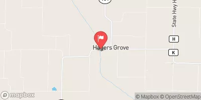 Salt River At Hagers Grove
|
84cfs |
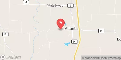 Long Branch Creek Near Atlanta
|
12cfs |
 East Fork Little Chariton R. Nr Macon
|
12cfs |
 Salt River Near Shelbina
|
157cfs |
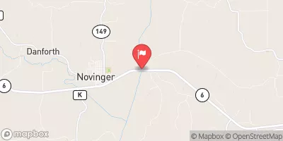 Chariton River At Novinger
|
545cfs |
 Crooked Creek Near Paris
|
1cfs |
Dam Data Reference
Condition Assessment
SatisfactoryNo existing or potential dam safety deficiencies are recognized. Acceptable performance is expected under all loading conditions (static, hydrologic, seismic) in accordance with the minimum applicable state or federal regulatory criteria or tolerable risk guidelines.
Fair
No existing dam safety deficiencies are recognized for normal operating conditions. Rare or extreme hydrologic and/or seismic events may result in a dam safety deficiency. Risk may be in the range to take further action. Note: Rare or extreme event is defined by the regulatory agency based on their minimum
Poor A dam safety deficiency is recognized for normal operating conditions which may realistically occur. Remedial action is necessary. POOR may also be used when uncertainties exist as to critical analysis parameters which identify a potential dam safety deficiency. Investigations and studies are necessary.
Unsatisfactory
A dam safety deficiency is recognized that requires immediate or emergency remedial action for problem resolution.
Not Rated
The dam has not been inspected, is not under state or federal jurisdiction, or has been inspected but, for whatever reason, has not been rated.
Not Available
Dams for which the condition assessment is restricted to approved government users.
Hazard Potential Classification
HighDams assigned the high hazard potential classification are those where failure or mis-operation will probably cause loss of human life.
Significant
Dams assigned the significant hazard potential classification are those dams where failure or mis-operation results in no probable loss of human life but can cause economic loss, environment damage, disruption of lifeline facilities, or impact other concerns. Significant hazard potential classification dams are often located in predominantly rural or agricultural areas but could be in areas with population and significant infrastructure.
Low
Dams assigned the low hazard potential classification are those where failure or mis-operation results in no probable loss of human life and low economic and/or environmental losses. Losses are principally limited to the owner's property.
Undetermined
Dams for which a downstream hazard potential has not been designated or is not provided.
Not Available
Dams for which the downstream hazard potential is restricted to approved government users.
 Leifield Dam