
Johnsons Draw Ws Scs Site 1 Dam Reservoir Report
Last Updated: January 12, 2026
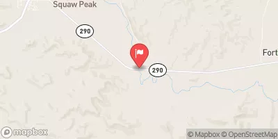
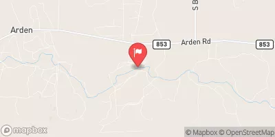
Johnsons Draw WS SCS Site 1 Dam, located in Crockett, Texas, is a vital structure designed by the USDA NRCS in 1957 for Flood Risk Reduction on the Johnson Draw river.
°F
°F
mph
Wind
%
Humidity
Summary
The dam stands at a height of 40 feet with a structural height of 41 feet and a length of 4000 feet. It has a maximum storage capacity of 11550 acre-feet and a normal storage of 166 acre-feet, serving to mitigate flood risks in the region.
Managed by the local government and regulated by TCEQ, the dam is classified as an Earth dam with stone core types and is inspected every 5 years, with the last inspection in 2016 showing a satisfactory condition. The spillway type is uncontrolled, with a width of 302 feet, and the outlet gates consist of one slide (sluice gate) and two uncontrolled gates. Overall, the dam has a moderate risk assessment rating and plays a crucial role in protecting the surrounding areas from potential flooding events.
Water resource and climate enthusiasts can appreciate the engineering and operational details of the Johnsons Draw WS SCS Site 1 Dam, understanding its significance in flood risk reduction and water management in the region. With its history of construction and maintenance, the dam stands as a testament to the collaborative efforts of government agencies and designers in safeguarding local communities and ecosystems from the impacts of extreme weather events.
Year Completed |
1957 |
Dam Length |
4000 |
Dam Height |
40 |
River Or Stream |
JOHNSON DRAW |
Primary Dam Type |
Earth |
Surface Area |
51 |
Hydraulic Height |
40 |
Drainage Area |
17 |
Nid Storage |
11550 |
Structural Height |
41 |
Outlet Gates |
Slide (sluice gate) - 1, Uncontrolled - 2 |
Hazard Potential |
Not Available |
Foundations |
Rock, Soil |
Nid Height |
41 |
Seasonal Comparison
Weather Forecast
Nearby Streamflow Levels

Dam Data Reference
Condition Assessment
SatisfactoryNo existing or potential dam safety deficiencies are recognized. Acceptable performance is expected under all loading conditions (static, hydrologic, seismic) in accordance with the minimum applicable state or federal regulatory criteria or tolerable risk guidelines.
Fair
No existing dam safety deficiencies are recognized for normal operating conditions. Rare or extreme hydrologic and/or seismic events may result in a dam safety deficiency. Risk may be in the range to take further action. Note: Rare or extreme event is defined by the regulatory agency based on their minimum
Poor A dam safety deficiency is recognized for normal operating conditions which may realistically occur. Remedial action is necessary. POOR may also be used when uncertainties exist as to critical analysis parameters which identify a potential dam safety deficiency. Investigations and studies are necessary.
Unsatisfactory
A dam safety deficiency is recognized that requires immediate or emergency remedial action for problem resolution.
Not Rated
The dam has not been inspected, is not under state or federal jurisdiction, or has been inspected but, for whatever reason, has not been rated.
Not Available
Dams for which the condition assessment is restricted to approved government users.
Hazard Potential Classification
HighDams assigned the high hazard potential classification are those where failure or mis-operation will probably cause loss of human life.
Significant
Dams assigned the significant hazard potential classification are those dams where failure or mis-operation results in no probable loss of human life but can cause economic loss, environment damage, disruption of lifeline facilities, or impact other concerns. Significant hazard potential classification dams are often located in predominantly rural or agricultural areas but could be in areas with population and significant infrastructure.
Low
Dams assigned the low hazard potential classification are those where failure or mis-operation results in no probable loss of human life and low economic and/or environmental losses. Losses are principally limited to the owner's property.
Undetermined
Dams for which a downstream hazard potential has not been designated or is not provided.
Not Available
Dams for which the downstream hazard potential is restricted to approved government users.
 Johnsons Draw Ws Scs Site 1 Dam