Flathead Lake At Polson Mt Reservoir
As of July 23, 2026, Flathead Lake At Polson Mt is holding 2,893 ft of water — 100% of normal storage for this date. Storage data refreshed throughout the day.

Flathead Lake At Polson Mt
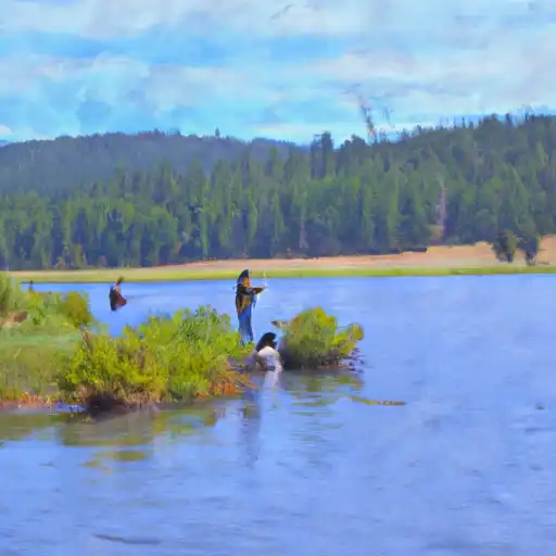
Flathead Lake is the largest freshwater lake in Montana, located in the town of Polson. The lake was formed by glaciers during the last ice age and has a surface area of 191.5 square miles. Its hydrology is dominated by the Flathead River, which is the primary surface flow provider, and snowpack, which provides the majority of the lake's water. The lake serves as a vital source of irrigation water for local agriculture and supports a variety of recreational activities, including fishing, boating, and swimming. The lake is also home to several species of fish, including trout, salmon, and bass. Its history includes being a sacred site for the Salish and Kootenai tribes and being explored by Lewis and Clark in 1805. Today, Flathead Lake is considered one of Montana's most treasured natural resources.
Daily levels at Flathead Lake At Polson Mt
Storage volume, pool elevation, and total release plotted from the operating agency's daily observations.
Elevation of reservoir water surface above datum, ft
ft · code 00062
Plan around the weather
Same NOAA / yr.no feed Snoflo's iOS app uses. Watch the precipitation column on the meteogram -- rain on the basin upstream typically lifts inflow 24-72 hours later.
Next 5 days, hour by hour
Temperature line with weather symbols on top, snow + rain accumulation as columns, humidity as a dotted line.
5-day forecast table
Every 3 hours, broken out across temperature, snow, rain, humidity, and wind. Each cell is colour-coded relative to the column min/max.
| Time | Condition | Temp (°F) | Snow (in) | Rain (in) | Humidity (%) | Wind (mps) | Wind dir |
|---|---|---|---|---|---|---|---|
| Loading detailed forecast… | |||||||
15-day temperature & precipitation
Daily temperatures, snow, and rain projected over the next two weeks.
Nearby streamflow gauges
USGS streamgauges around Flathead Lake At Polson Mt -- inflows here typically show up in storage 24-72 hours later.
| Streamgauge | Discharge | View |
|---|---|---|
| Flathead River Near Polson Mt | 8,890 cfs | → |
| South Crow Creek Near Ronan Mt | 9 cfs | → |
| Swan River Near Bigfork Mt | 1,150 cfs | → |
| Mill Cr Ab Bassoo Cr Nr Niarada Mt | 2 cfs | → |
| Mission Cr Ab Reservoir Nr St Ignatius Mt | 113 cfs | → |
| Flathead River At Perma Mt | 9,320 cfs | → |
Make a day of it
Boat launches, lakeside camping, fishing access, and other reservoirs near Flathead Lake At Polson Mt.
Boat launches
See all →


Campgrounds
See all →


Fishing spots
See all →


River runs
See all →

More reservoirs
See all →About Flathead Lake At Polson Mt
Where does the data for Flathead Lake At Polson Mt come from?
Daily storage, pool elevation, and release rates are sourced from USGS, USBR, and USACE monitoring stations. Weather forecast comes from NOAA / yr.no -- the same feed Snoflo's iOS app uses.
How often is the report updated?
Storage observations are updated daily by the operating agency. The 15-day weather forecast refreshes throughout the day. Snoflo caches and renders the most recent observation -- check the "as of" timestamp on the storage card.
What does the Hazard hazard rating mean?
The Corps of Engineers' hazard potential classification grades probable consequences if the dam fails: High = probable loss of human life; Significant = no probable loss of human life but possible economic loss / environmental damage; Low = no probable loss of human life, only minor economic / environmental losses. See the Dam Data Reference card below for the full definitions.
What's "% of normal"?
The current storage value compared to the historical average storage on this calendar day. 100% = right on average; values above 100% mean above-normal storage (wet year); values below mean below-normal (dry year or drought).
Can I get alerts when storage crosses a threshold?
Yes -- alerts are managed in the Snoflo iOS app. Favorite this reservoir, set a threshold, and you'll get a push the moment conditions cross.