
Goodwin Dam Reservoir Report
Nearby: Tulloch Copper Cove
Last Updated: December 26, 2025
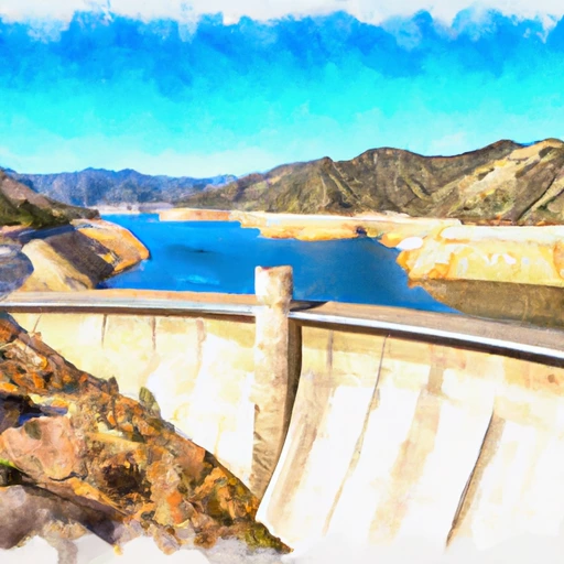
Goodwin Dam is located on the Stanislaus River in California and was built in the 1920s for hydroelectric power generation and irrigation purposes.
°F
°F
mph
Wind
%
Humidity
Summary
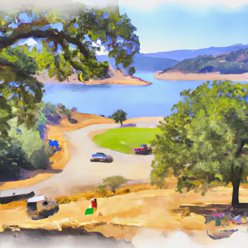
It has a capacity of 44,900 acre-feet of water and spans 690 feet across the river. The dam provides water for agricultural purposes, specifically for almond and walnut orchards, as well as for recreation such as fishing, boating, and camping. The hydrology of the area is dependent on the snowpack in the Sierra Nevada mountains, which provides a significant portion of the surface flow into the river. The dam also helps regulate the river flow and prevent flooding during heavy rains. The Goodwin Dam is an important infrastructure for the region, providing water and power to local communities.
Reservoir Details
| Storage 24hr Change | None% |
| Percent of Normal | None% |
| Minimum |
507.0 acre-ft
2023-10-19 |
| Maximum |
604.0 acre-ft
2024-04-29 |
| Average | acre-ft |
| Dam_Height | 101 |
| Hydraulic_Height | 81.1 |
| Drainage_Area | 996.5 |
| Year_Completed | 1912 |
| Nid_Storage | 500 |
| River_Or_Stream | Stanislaus Rv |
| Surface_Area | 70 |
| Hazard_Potential | High |
| Dam_Length | 460 |
| Primary_Dam_Type | Multi-Arch |
| Nid_Height | 101 |
Seasonal Comparison
Storage Levels
Pool Elevation Levels
Top Conserv Storage Levels
Inflow Levels
Weather Forecast
Nearby Streamflow Levels
 Black C Nr Copperopolis Ca
|
130cfs |
 Modesto Cn Nr La Grange Ca
|
0cfs |
 Tuolumne R Bl Lagrange Dam Nr Lagrange Ca
|
2300cfs |
 Turlock Cn Nr La Grange Ca
|
593cfs |
 Big C Ab Whites Gulch Nr Groveland Ca
|
6cfs |
 Tuolumne R A Modesto Ca
|
3860cfs |
Dam Data Reference
Condition Assessment
SatisfactoryNo existing or potential dam safety deficiencies are recognized. Acceptable performance is expected under all loading conditions (static, hydrologic, seismic) in accordance with the minimum applicable state or federal regulatory criteria or tolerable risk guidelines.
Fair
No existing dam safety deficiencies are recognized for normal operating conditions. Rare or extreme hydrologic and/or seismic events may result in a dam safety deficiency. Risk may be in the range to take further action. Note: Rare or extreme event is defined by the regulatory agency based on their minimum
Poor A dam safety deficiency is recognized for normal operating conditions which may realistically occur. Remedial action is necessary. POOR may also be used when uncertainties exist as to critical analysis parameters which identify a potential dam safety deficiency. Investigations and studies are necessary.
Unsatisfactory
A dam safety deficiency is recognized that requires immediate or emergency remedial action for problem resolution.
Not Rated
The dam has not been inspected, is not under state or federal jurisdiction, or has been inspected but, for whatever reason, has not been rated.
Not Available
Dams for which the condition assessment is restricted to approved government users.
Hazard Potential Classification
HighDams assigned the high hazard potential classification are those where failure or mis-operation will probably cause loss of human life.
Significant
Dams assigned the significant hazard potential classification are those dams where failure or mis-operation results in no probable loss of human life but can cause economic loss, environment damage, disruption of lifeline facilities, or impact other concerns. Significant hazard potential classification dams are often located in predominantly rural or agricultural areas but could be in areas with population and significant infrastructure.
Low
Dams assigned the low hazard potential classification are those where failure or mis-operation results in no probable loss of human life and low economic and/or environmental losses. Losses are principally limited to the owner's property.
Undetermined
Dams for which a downstream hazard potential has not been designated or is not provided.
Not Available
Dams for which the downstream hazard potential is restricted to approved government users.
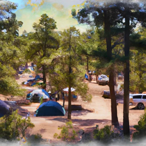
 South Lake Tulloch R.V. Campground & Marina
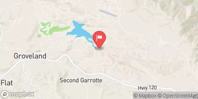
 Horseshoe Road Recreation Area & Campground
 Ironhorse- Glory Hole Area - New Melones Lake
 Acorn - Tuttletown Area - New Melones Lake
 Chamise - Tuttletown Area - New Melones Lake
 Manzanita - Tuttletown Area - New Melones Lake
 Goodwin
 Goodwin Dam
 Tulloch Res Nr Knights Ferry Ca
 Tulloch
 New Melones Reservoir