
Scs-Stillwater Creek Site-41 Reservoir Report
Nearby: Jirous M.D. Hughes Pond
Last Updated: December 7, 2025
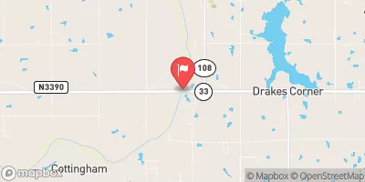
SCS-Stillwater Creek Site-41 is a state-regulated earth dam located in Stillwater, Oklahoma, designed by the USDA NRCS as part of flood risk reduction efforts in the area.
°F
°F
mph
Wind
%
Humidity
Summary
Completed in 1971, this dam stands at a height of 50 feet and has a storage capacity of 1,221 acre-feet. With a controlled spillway and a maximum discharge of 3,495 cubic feet per second, this dam plays a crucial role in managing water flow along the TR-North Stillwater Creek, a vital stream in the region.
The dam's hazard potential is deemed significant, with a very high risk assessment rating. Despite being in fair condition as of the last inspection in 2011, the dam has an inspection frequency of 3 years to ensure its structural integrity and safety. The primary purpose of SCS-Stillwater Creek Site-41 is flood risk reduction, highlighting its importance in mitigating potential flood events in the area. With its design by the Natural Resources Conservation Service and state jurisdiction by the OWRB, this dam serves as a key infrastructure for water resource management in Noble County, Oklahoma.
Water resource and climate enthusiasts will find SCS-Stillwater Creek Site-41 to be a significant structure in the region, with its strategic location along the TR-North Stillwater Creek and its role in flood risk reduction efforts. The dam's design and construction by the USDA NRCS, along with its state regulation and inspection protocols, demonstrate a commitment to water management and public safety. As a crucial component of the local water infrastructure, this earth dam stands as a testament to collaborative efforts in safeguarding communities and natural resources from potential flood hazards in the area.
Year Completed |
1971 |
Dam Length |
600 |
Dam Height |
50 |
River Or Stream |
TR-NORTH STILLWATER CREEK |
Primary Dam Type |
Earth |
Surface Area |
20 |
Hydraulic Height |
50 |
Nid Storage |
1221 |
Structural Height |
50 |
Outlet Gates |
Valve - 1 |
Hazard Potential |
Significant |
Foundations |
Soil |
Nid Height |
50 |
Seasonal Comparison
Weather Forecast
Nearby Streamflow Levels
 Cimarron River Near Ripley
|
528cfs |
 Black Bear Creek At Pawnee
|
11cfs |
 Cimarron River Near Guthrie
|
483cfs |
 Skeleton Creek Near Lovell
|
28cfs |
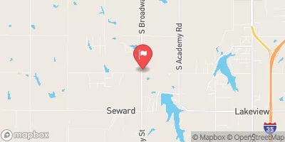 Cottonwood Creek Near Seward
|
69cfs |
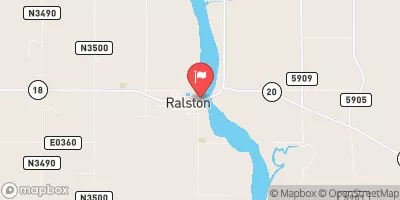 Arkansas River At Ralston
|
1660cfs |
Dam Data Reference
Condition Assessment
SatisfactoryNo existing or potential dam safety deficiencies are recognized. Acceptable performance is expected under all loading conditions (static, hydrologic, seismic) in accordance with the minimum applicable state or federal regulatory criteria or tolerable risk guidelines.
Fair
No existing dam safety deficiencies are recognized for normal operating conditions. Rare or extreme hydrologic and/or seismic events may result in a dam safety deficiency. Risk may be in the range to take further action. Note: Rare or extreme event is defined by the regulatory agency based on their minimum
Poor A dam safety deficiency is recognized for normal operating conditions which may realistically occur. Remedial action is necessary. POOR may also be used when uncertainties exist as to critical analysis parameters which identify a potential dam safety deficiency. Investigations and studies are necessary.
Unsatisfactory
A dam safety deficiency is recognized that requires immediate or emergency remedial action for problem resolution.
Not Rated
The dam has not been inspected, is not under state or federal jurisdiction, or has been inspected but, for whatever reason, has not been rated.
Not Available
Dams for which the condition assessment is restricted to approved government users.
Hazard Potential Classification
HighDams assigned the high hazard potential classification are those where failure or mis-operation will probably cause loss of human life.
Significant
Dams assigned the significant hazard potential classification are those dams where failure or mis-operation results in no probable loss of human life but can cause economic loss, environment damage, disruption of lifeline facilities, or impact other concerns. Significant hazard potential classification dams are often located in predominantly rural or agricultural areas but could be in areas with population and significant infrastructure.
Low
Dams assigned the low hazard potential classification are those where failure or mis-operation results in no probable loss of human life and low economic and/or environmental losses. Losses are principally limited to the owner's property.
Undetermined
Dams for which a downstream hazard potential has not been designated or is not provided.
Not Available
Dams for which the downstream hazard potential is restricted to approved government users.
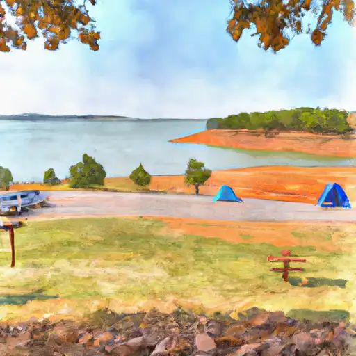
Area Campgrounds
| Location | Reservations | Toilets |
|---|---|---|
 Lake McMurtry East
|
||
 Lake McMurtry West
|
||
 Catfish Cove
|
||
 Lake Carl Blackwell
|
||
 Perry Lake
|
 Scs-Stillwater Creek Site-41
 Red Route Noble County
 Big Boomer Park
 Leo Park
 Ingham Park
 Dauman Park
 Southern Wood Park