
Tomeyer #2 Reservoir Report
Nearby: Ucaliptus Eide Trail
Last Updated: December 20, 2025
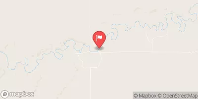
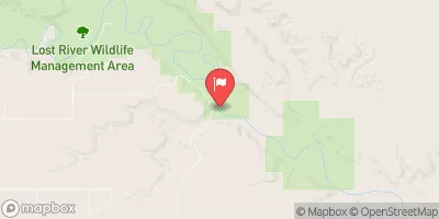
Tomeyer #2, a privately owned irrigation dam located in GALATA, Montana, on WILLOW CREEK, was designed by the USDA NRCS and completed in 1956.
°F
°F
mph
Wind
%
Humidity
Summary
This Earth type dam stands at 15 feet tall with a length of 300 feet, providing a storage capacity of 156 acre-feet. The dam serves the primary purpose of irrigation, with a drainage area of 274.22 square miles and a maximum discharge of 450 cubic feet per second.
Despite being regulated by the Montana Department of Natural Resources and Conservation (DNRC), Tomeyer #2 has a low hazard potential and is currently rated as "Not Rated" in terms of condition assessment. The dam has not undergone recent inspections or evaluations for emergency action planning, but its location in Toole County, Montana, under Congressional District 00 represented by Greg Gianforte (R), ensures that it remains under state jurisdiction and enforcement for safety and compliance.
Water resource and climate enthusiasts will find Tomeyer #2 to be an intriguing case study in the management and regulation of irrigation infrastructure in Montana. The dam's historical significance, design details, and current regulatory status offer valuable insights into the challenges and opportunities associated with maintaining water resources for agricultural purposes in the region. Further research and monitoring of Tomeyer #2 could provide valuable data for understanding the intersection of water management, climate resilience, and regulatory practices in the state.
Year Completed |
1956 |
Dam Length |
300 |
Dam Height |
15 |
River Or Stream |
WILLOW CREEK |
Primary Dam Type |
Earth |
Hydraulic Height |
15 |
Drainage Area |
274.22 |
Nid Storage |
156 |
Hazard Potential |
Low |
Nid Height |
15 |
Seasonal Comparison
Weather Forecast
Nearby Streamflow Levels

Dam Data Reference
Condition Assessment
SatisfactoryNo existing or potential dam safety deficiencies are recognized. Acceptable performance is expected under all loading conditions (static, hydrologic, seismic) in accordance with the minimum applicable state or federal regulatory criteria or tolerable risk guidelines.
Fair
No existing dam safety deficiencies are recognized for normal operating conditions. Rare or extreme hydrologic and/or seismic events may result in a dam safety deficiency. Risk may be in the range to take further action. Note: Rare or extreme event is defined by the regulatory agency based on their minimum
Poor A dam safety deficiency is recognized for normal operating conditions which may realistically occur. Remedial action is necessary. POOR may also be used when uncertainties exist as to critical analysis parameters which identify a potential dam safety deficiency. Investigations and studies are necessary.
Unsatisfactory
A dam safety deficiency is recognized that requires immediate or emergency remedial action for problem resolution.
Not Rated
The dam has not been inspected, is not under state or federal jurisdiction, or has been inspected but, for whatever reason, has not been rated.
Not Available
Dams for which the condition assessment is restricted to approved government users.
Hazard Potential Classification
HighDams assigned the high hazard potential classification are those where failure or mis-operation will probably cause loss of human life.
Significant
Dams assigned the significant hazard potential classification are those dams where failure or mis-operation results in no probable loss of human life but can cause economic loss, environment damage, disruption of lifeline facilities, or impact other concerns. Significant hazard potential classification dams are often located in predominantly rural or agricultural areas but could be in areas with population and significant infrastructure.
Low
Dams assigned the low hazard potential classification are those where failure or mis-operation results in no probable loss of human life and low economic and/or environmental losses. Losses are principally limited to the owner's property.
Undetermined
Dams for which a downstream hazard potential has not been designated or is not provided.
Not Available
Dams for which the downstream hazard potential is restricted to approved government users.
 Tomeyer #2