Jones Creek 1-1 Reservoir Report
Nearby: Jones Creek 1-A Buchta Dam
Last Updated: February 23, 2026
Jones Creek 1-1 is a local government-owned earth dam located in Polk, Nebraska, designed by the USDA NRCS and regulated by the NE DNR.
Summary
Completed in 1965, this dam serves a primary purpose of flood risk reduction and has a maximum storage capacity of 134 acre-feet. With a dam height of 30 feet and a hydraulic height of 28 feet, it spans 185 feet in length and covers a surface area of 5 acres, with a drainage area of 1 square mile.
Despite its low hazard potential and satisfactory condition assessment, Jones Creek 1-1 is subject to state permitting, inspection, and enforcement. The dam is situated on TR-Clear Creek, falling under the jurisdiction of the Kansas City District of the USACE. With a normal storage capacity of 24 acre-feet and a maximum discharge of 645 cubic feet per second, this structure plays a crucial role in managing water resources in the region. Its location in SWS9T14R3W makes it a key player in maintaining the ecological balance of the surrounding area.
For water resource and climate enthusiasts, Jones Creek 1-1 stands as a testament to the vital role that dams play in mitigating flood risks and ensuring water security. As a locally-owned structure with a history dating back to the mid-20th century, it represents a blend of engineering expertise and environmental stewardship. With ongoing state oversight and inspection, this dam continues to serve its purpose effectively while contributing to the overall resilience of the watershed.
°F
°F
mph
Wind
%
Humidity
15-Day Weather Outlook
Year Completed |
1965 |
Dam Length |
185 |
Dam Height |
30 |
River Or Stream |
TR-CLEAR CREEK |
Primary Dam Type |
Earth |
Surface Area |
5 |
Hydraulic Height |
28 |
Drainage Area |
1 |
Nid Storage |
134 |
Structural Height |
32 |
Hazard Potential |
Low |
Foundations |
Soil |
Nid Height |
32 |
Seasonal Comparison
5-Day Hourly Forecast Detail
Nearby Streamflow Levels
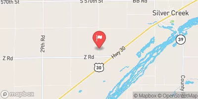 Silver Cr
|
3cfs |
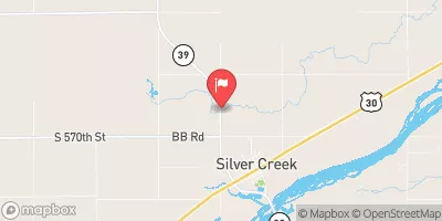 Prairie Creek Nr Silver Creek Nebr
|
38cfs |
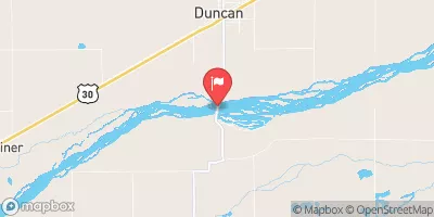 Platte River Near Duncan
|
2260cfs |
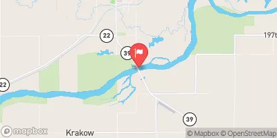 Loup River Near Genoa
|
4360cfs |
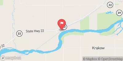 Loup River Power Canal Near Genoa
|
23cfs |
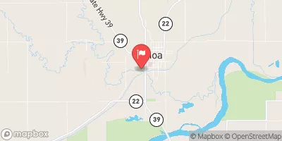 Beaver Creek At Genoa
|
125cfs |
Dam Data Reference
Condition Assessment
SatisfactoryNo existing or potential dam safety deficiencies are recognized. Acceptable performance is expected under all loading conditions (static, hydrologic, seismic) in accordance with the minimum applicable state or federal regulatory criteria or tolerable risk guidelines.
Fair
No existing dam safety deficiencies are recognized for normal operating conditions. Rare or extreme hydrologic and/or seismic events may result in a dam safety deficiency. Risk may be in the range to take further action. Note: Rare or extreme event is defined by the regulatory agency based on their minimum
Poor A dam safety deficiency is recognized for normal operating conditions which may realistically occur. Remedial action is necessary. POOR may also be used when uncertainties exist as to critical analysis parameters which identify a potential dam safety deficiency. Investigations and studies are necessary.
Unsatisfactory
A dam safety deficiency is recognized that requires immediate or emergency remedial action for problem resolution.
Not Rated
The dam has not been inspected, is not under state or federal jurisdiction, or has been inspected but, for whatever reason, has not been rated.
Not Available
Dams for which the condition assessment is restricted to approved government users.
Hazard Potential Classification
HighDams assigned the high hazard potential classification are those where failure or mis-operation will probably cause loss of human life.
Significant
Dams assigned the significant hazard potential classification are those dams where failure or mis-operation results in no probable loss of human life but can cause economic loss, environment damage, disruption of lifeline facilities, or impact other concerns. Significant hazard potential classification dams are often located in predominantly rural or agricultural areas but could be in areas with population and significant infrastructure.
Low
Dams assigned the low hazard potential classification are those where failure or mis-operation results in no probable loss of human life and low economic and/or environmental losses. Losses are principally limited to the owner's property.
Undetermined
Dams for which a downstream hazard potential has not been designated or is not provided.
Not Available
Dams for which the downstream hazard potential is restricted to approved government users.

 Jones Creek 1-1