Oak-Middle 63-A Reservoir Report
Nearby: Oak-Middle 63-D Vandenberg Dam 1603
Last Updated: February 22, 2026
Oak-Middle 63-A is a crucial earth dam located in Butler, Nebraska, designed by the USDA NRCS to primarily mitigate flood risks in the area.
Summary
Completed in 1966, this structure stands at 38 feet tall with a dam length of 853 feet, offering a storage capacity of 400 acre-feet and a drainage area of 1.2 square miles. With a low hazard potential and satisfactory condition assessment, Oak-Middle 63-A plays a significant role in flood risk reduction for the local community.
Managed by the local government and regulated by the Nebraska Department of Natural Resources, Oak-Middle 63-A undergoes inspections every five years to ensure its structural integrity. Despite its age, this dam continues to meet safety guidelines and performs its function effectively. Situated on TR-OAK CREEK, it serves as a vital infrastructure in the region, providing essential protection and peace of mind for residents in the face of potential flooding events.
The dam's location in Raymond, Nebraska, highlights its importance in safeguarding the surrounding area from water-related disasters. With Jeff Fortenberry as the congressman overseeing the district, Oak-Middle 63-A exemplifies the collaborative efforts between federal and local agencies in managing water resources and climate-related challenges. As a key component of the flood risk reduction strategy, this dam stands as a testament to effective water resource management and infrastructure maintenance in the region.
°F
°F
mph
Wind
%
Humidity
15-Day Weather Outlook
Year Completed |
1966 |
Dam Length |
853 |
Dam Height |
28 |
River Or Stream |
TR-OAK CREEK |
Primary Dam Type |
Earth |
Surface Area |
9 |
Hydraulic Height |
25 |
Drainage Area |
1.2 |
Nid Storage |
400 |
Structural Height |
38 |
Hazard Potential |
Low |
Foundations |
Soil |
Nid Height |
38 |
Seasonal Comparison
5-Day Hourly Forecast Detail
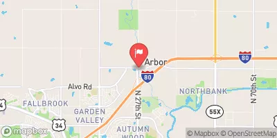
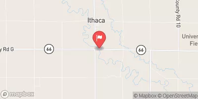
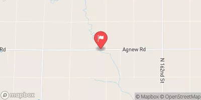
Nearby Streamflow Levels
Dam Data Reference
Condition Assessment
SatisfactoryNo existing or potential dam safety deficiencies are recognized. Acceptable performance is expected under all loading conditions (static, hydrologic, seismic) in accordance with the minimum applicable state or federal regulatory criteria or tolerable risk guidelines.
Fair
No existing dam safety deficiencies are recognized for normal operating conditions. Rare or extreme hydrologic and/or seismic events may result in a dam safety deficiency. Risk may be in the range to take further action. Note: Rare or extreme event is defined by the regulatory agency based on their minimum
Poor A dam safety deficiency is recognized for normal operating conditions which may realistically occur. Remedial action is necessary. POOR may also be used when uncertainties exist as to critical analysis parameters which identify a potential dam safety deficiency. Investigations and studies are necessary.
Unsatisfactory
A dam safety deficiency is recognized that requires immediate or emergency remedial action for problem resolution.
Not Rated
The dam has not been inspected, is not under state or federal jurisdiction, or has been inspected but, for whatever reason, has not been rated.
Not Available
Dams for which the condition assessment is restricted to approved government users.
Hazard Potential Classification
HighDams assigned the high hazard potential classification are those where failure or mis-operation will probably cause loss of human life.
Significant
Dams assigned the significant hazard potential classification are those dams where failure or mis-operation results in no probable loss of human life but can cause economic loss, environment damage, disruption of lifeline facilities, or impact other concerns. Significant hazard potential classification dams are often located in predominantly rural or agricultural areas but could be in areas with population and significant infrastructure.
Low
Dams assigned the low hazard potential classification are those where failure or mis-operation results in no probable loss of human life and low economic and/or environmental losses. Losses are principally limited to the owner's property.
Undetermined
Dams for which a downstream hazard potential has not been designated or is not provided.
Not Available
Dams for which the downstream hazard potential is restricted to approved government users.


 Oak-Middle 63-A
 Timber Point