Gallagher Reservoir Report
Nearby: Little Plum Creek
Last Updated: February 22, 2026
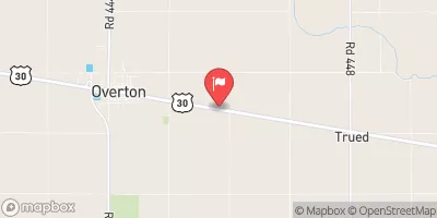
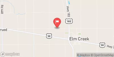
Gallagher is a significant water resource infrastructure located in Lexington, Nebraska, constructed in 1941 for hydroelectric and irrigation purposes.
Summary
Managed by the Federal Energy Regulatory Commission, this earth dam stands at 54 feet high and spans 644 feet in length, with a storage capacity of 3,600 acre-feet and a drainage area of 10.5 square miles. The dam's low hazard potential and moderate risk assessment make it a crucial asset for water management in the region.
Owned by a public utility and regulated by the Nebraska Department of Natural Resources, Gallagher plays a vital role in water supply and control in Dawson County. The dam's primary purpose is to generate hydroelectric power and facilitate irrigation activities, highlighting its importance in sustaining agricultural operations and local communities. With a history of federal oversight and periodic inspections, Gallagher exemplifies responsible water resource management and climate resilience efforts in the face of changing environmental conditions.
Gallagher's location on the Supply Canal and its association with the Federal Energy Regulatory Commission underscore its strategic significance in the Kansas City District. Despite its low hazard potential, ongoing risk assessments and management measures ensure the dam's continued safe operation and readiness for potential emergencies. Water resource and climate enthusiasts can appreciate Gallagher as a testament to effective infrastructure management and the essential role of dams in supporting sustainable water usage and energy generation in Nebraska.
°F
°F
mph
Wind
%
Humidity
15-Day Weather Outlook
Year Completed |
1941 |
Dam Length |
644 |
Dam Height |
54 |
River Or Stream |
Supply Canal |
Primary Dam Type |
Earth |
Surface Area |
182 |
Drainage Area |
10.5 |
Nid Storage |
3600 |
Hazard Potential |
Low |
Foundations |
Soil |
Nid Height |
54 |
Seasonal Comparison
5-Day Hourly Forecast Detail
Nearby Streamflow Levels
 Spring Creek Nr Overton
|
4cfs |
 Platte River Near Overton
|
426cfs |
 Buffalo Creek Nr Overton Nebr
|
2cfs |
 Platte R Mid Ch
|
542cfs |
 Elm Creek Nr Elm Creek
|
0cfs |
 Republican River At Cambridge
|
60cfs |
Dam Data Reference
Condition Assessment
SatisfactoryNo existing or potential dam safety deficiencies are recognized. Acceptable performance is expected under all loading conditions (static, hydrologic, seismic) in accordance with the minimum applicable state or federal regulatory criteria or tolerable risk guidelines.
Fair
No existing dam safety deficiencies are recognized for normal operating conditions. Rare or extreme hydrologic and/or seismic events may result in a dam safety deficiency. Risk may be in the range to take further action. Note: Rare or extreme event is defined by the regulatory agency based on their minimum
Poor A dam safety deficiency is recognized for normal operating conditions which may realistically occur. Remedial action is necessary. POOR may also be used when uncertainties exist as to critical analysis parameters which identify a potential dam safety deficiency. Investigations and studies are necessary.
Unsatisfactory
A dam safety deficiency is recognized that requires immediate or emergency remedial action for problem resolution.
Not Rated
The dam has not been inspected, is not under state or federal jurisdiction, or has been inspected but, for whatever reason, has not been rated.
Not Available
Dams for which the condition assessment is restricted to approved government users.
Hazard Potential Classification
HighDams assigned the high hazard potential classification are those where failure or mis-operation will probably cause loss of human life.
Significant
Dams assigned the significant hazard potential classification are those dams where failure or mis-operation results in no probable loss of human life but can cause economic loss, environment damage, disruption of lifeline facilities, or impact other concerns. Significant hazard potential classification dams are often located in predominantly rural or agricultural areas but could be in areas with population and significant infrastructure.
Low
Dams assigned the low hazard potential classification are those where failure or mis-operation results in no probable loss of human life and low economic and/or environmental losses. Losses are principally limited to the owner's property.
Undetermined
Dams for which a downstream hazard potential has not been designated or is not provided.
Not Available
Dams for which the downstream hazard potential is restricted to approved government users.

 Dead End
 Midway Canyon Reservoir