Enders Dike Reservoir Report
Last Updated: February 1, 2026
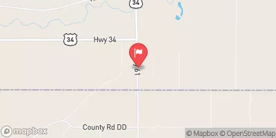
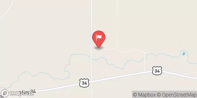
Enders Dike, located in Wauneta, Nebraska, along Frenchman Creek, is a vital federal flood risk reduction structure managed by the Bureau of Reclamation.
°F
°F
mph
Wind
%
Humidity
15-Day Weather Outlook
Summary
This Earth-type dam stands at a height of 28 feet and was completed in 1951 to protect the surrounding area from potential flooding events. With a storage capacity of 44,480 acre-feet and a surface area of 2,557 acres, Enders Dike plays a crucial role in managing water resources and mitigating flood risks in Chase County.
Managed by the Bureau of Reclamation, Enders Dike serves multiple purposes, including flood risk reduction and irrigation for the local area. With a high hazard potential and a risk assessment rating of 2 (high), this structure is subject to regular inspections and regulatory oversight by the Bureau of Reclamation. While the condition assessment is currently not available, the Emergency Action Plan (EAP) for Enders Dike is periodically updated to ensure preparedness in case of emergencies.
Enders Dike's strategic location and design make it a key component in water resource management and climate resilience efforts in Nebraska. As a federally-owned structure with state regulatory oversight, it exemplifies the collaboration between different agencies to safeguard the community against potential water-related hazards. With its history dating back to the early 1950s, Enders Dike continues to serve as a vital infrastructure for flood protection and water management in the region.
Year Completed |
1951 |
Dam Length |
6420 |
Dam Height |
28 |
River Or Stream |
FRENCHMAN CREEK |
Primary Dam Type |
Earth |
Surface Area |
2557 |
Hydraulic Height |
18 |
Drainage Area |
1097 |
Nid Storage |
44480 |
Structural Height |
28 |
Hazard Potential |
High |
Foundations |
Rock |
Nid Height |
28 |
Seasonal Comparison
Hourly Weather Forecast
Nearby Streamflow Levels
Dam Data Reference
Condition Assessment
SatisfactoryNo existing or potential dam safety deficiencies are recognized. Acceptable performance is expected under all loading conditions (static, hydrologic, seismic) in accordance with the minimum applicable state or federal regulatory criteria or tolerable risk guidelines.
Fair
No existing dam safety deficiencies are recognized for normal operating conditions. Rare or extreme hydrologic and/or seismic events may result in a dam safety deficiency. Risk may be in the range to take further action. Note: Rare or extreme event is defined by the regulatory agency based on their minimum
Poor A dam safety deficiency is recognized for normal operating conditions which may realistically occur. Remedial action is necessary. POOR may also be used when uncertainties exist as to critical analysis parameters which identify a potential dam safety deficiency. Investigations and studies are necessary.
Unsatisfactory
A dam safety deficiency is recognized that requires immediate or emergency remedial action for problem resolution.
Not Rated
The dam has not been inspected, is not under state or federal jurisdiction, or has been inspected but, for whatever reason, has not been rated.
Not Available
Dams for which the condition assessment is restricted to approved government users.
Hazard Potential Classification
HighDams assigned the high hazard potential classification are those where failure or mis-operation will probably cause loss of human life.
Significant
Dams assigned the significant hazard potential classification are those dams where failure or mis-operation results in no probable loss of human life but can cause economic loss, environment damage, disruption of lifeline facilities, or impact other concerns. Significant hazard potential classification dams are often located in predominantly rural or agricultural areas but could be in areas with population and significant infrastructure.
Low
Dams assigned the low hazard potential classification are those where failure or mis-operation results in no probable loss of human life and low economic and/or environmental losses. Losses are principally limited to the owner's property.
Undetermined
Dams for which a downstream hazard potential has not been designated or is not provided.
Not Available
Dams for which the downstream hazard potential is restricted to approved government users.
Area Campgrounds
| Location | Reservations | Toilets |
|---|---|---|
 Center Dam
|
||
 Enders Reservoir State Rec Area
|
||
 Private Cabins
|
||
 Area "B"
|
||
 Cow Beach
|
||
 Church Grove
|

 Enders Dike