Svoboda Dam 1874 Reservoir Report
Last Updated: January 8, 2026
Svoboda Dam 1874, located in Butler County, Nebraska, was completed in 1971 with a primary purpose of flood risk reduction.
°F
°F
mph
Wind
%
Humidity
Summary
Designed by the USDA NRCS, this private-owned Earth dam stands at a height of 23.5 feet and has a storage capacity of 81.2 acre-feet. Despite its low hazard potential, the dam is in poor condition as of the last inspection in May 2016.
Situated on TR-BONE CREEK, this structure plays a crucial role in managing water resources in the area, with a drainage area of 0.7 square miles and a maximum discharge capacity of 149 cubic feet per second. The dam's normal storage capacity is 35.3 acre-feet, covering a surface area of 4.1 acres. While the dam's condition assessment raises concerns, it remains regulated and inspected by the Nebraska Department of Natural Resources to ensure public safety and environmental protection.
Water resource enthusiasts and climate advocates can appreciate the significance of Svoboda Dam 1874 in mitigating flood risks and safeguarding local communities in Nebraska. Its historical and structural attributes, along with its association with the USDA NRCS, offer valuable insights into the intersection of water management, infrastructure development, and environmental stewardship in the region. As efforts to address climate change intensify, the maintenance and upkeep of such critical structures become paramount to ensuring sustainable water resource management for future generations.
Year Completed |
1971 |
Dam Length |
420 |
Dam Height |
23.5 |
River Or Stream |
TR-BONE CREEK |
Primary Dam Type |
Earth |
Surface Area |
4.1 |
Hydraulic Height |
23.5 |
Drainage Area |
0.7 |
Nid Storage |
81.2 |
Structural Height |
23.5 |
Hazard Potential |
Low |
Foundations |
Soil |
Nid Height |
24 |
Seasonal Comparison
Weather Forecast
Nearby Streamflow Levels
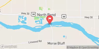 Platte River At North Bend
|
5120cfs |
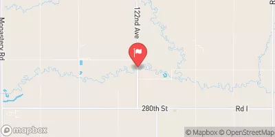 Shell Creek Near Columbus
|
32cfs |
 Clear Cr 1.75mi W Of Polk Co Line
|
15cfs |
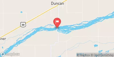 Platte River Near Duncan
|
1020cfs |
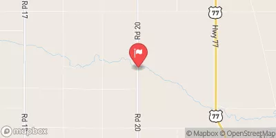 Maple Creek Near Nickerson
|
65cfs |
 Wahoo Creek At Ithaca
|
53cfs |
Dam Data Reference
Condition Assessment
SatisfactoryNo existing or potential dam safety deficiencies are recognized. Acceptable performance is expected under all loading conditions (static, hydrologic, seismic) in accordance with the minimum applicable state or federal regulatory criteria or tolerable risk guidelines.
Fair
No existing dam safety deficiencies are recognized for normal operating conditions. Rare or extreme hydrologic and/or seismic events may result in a dam safety deficiency. Risk may be in the range to take further action. Note: Rare or extreme event is defined by the regulatory agency based on their minimum
Poor A dam safety deficiency is recognized for normal operating conditions which may realistically occur. Remedial action is necessary. POOR may also be used when uncertainties exist as to critical analysis parameters which identify a potential dam safety deficiency. Investigations and studies are necessary.
Unsatisfactory
A dam safety deficiency is recognized that requires immediate or emergency remedial action for problem resolution.
Not Rated
The dam has not been inspected, is not under state or federal jurisdiction, or has been inspected but, for whatever reason, has not been rated.
Not Available
Dams for which the condition assessment is restricted to approved government users.
Hazard Potential Classification
HighDams assigned the high hazard potential classification are those where failure or mis-operation will probably cause loss of human life.
Significant
Dams assigned the significant hazard potential classification are those dams where failure or mis-operation results in no probable loss of human life but can cause economic loss, environment damage, disruption of lifeline facilities, or impact other concerns. Significant hazard potential classification dams are often located in predominantly rural or agricultural areas but could be in areas with population and significant infrastructure.
Low
Dams assigned the low hazard potential classification are those where failure or mis-operation results in no probable loss of human life and low economic and/or environmental losses. Losses are principally limited to the owner's property.
Undetermined
Dams for which a downstream hazard potential has not been designated or is not provided.
Not Available
Dams for which the downstream hazard potential is restricted to approved government users.

 Svoboda Dam 1874