Denzel Lofgreen Road Dam Reservoir Report
Nearby: Cass Dam Furnas County Road Dam 1
Last Updated: February 22, 2026
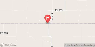
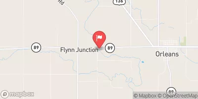
Denzel Lofgreen Road Dam, located in Furnas, Nebraska, serves as a critical infrastructure for flood risk reduction along TR-Sappa Creek.
Summary
Constructed in 1975 by Charles Wright of USDA NRCS, this earth dam stands at a height of 38 feet and spans a length of 600 feet, with a capacity to store 75 acre-feet of water. Despite its essential purpose, the dam's current condition is assessed as poor, highlighting the need for maintenance and potential upgrades to ensure its effectiveness in mitigating flood risks.
Managed by the local government and regulated by the Nebraska Department of Natural Resources, Denzel Lofgreen Road Dam plays a crucial role in safeguarding the surrounding area from potential flooding events. With a drainage area of 1.7 square miles and a maximum discharge capacity of 335 cubic feet per second, this dam serves as a vital component of the flood control infrastructure in the region. However, ongoing inspections and maintenance are necessary to address the dam's deteriorating condition and ensure its continued functionality in the face of changing climate patterns and increased water resource challenges.
As water resource and climate enthusiasts, it is essential to recognize the significance of structures like Denzel Lofgreen Road Dam in managing the impacts of extreme weather events and preserving the local ecosystem. By understanding the history, design, and current state of this dam, stakeholders can work towards implementing sustainable solutions to enhance its performance and resilience in the face of future climate uncertainties. Through collaboration with regulatory agencies and community involvement, efforts can be made to secure the long-term effectiveness of Denzel Lofgreen Road Dam in protecting the region from potential flood risks and promoting water resource sustainability.
°F
°F
mph
Wind
%
Humidity
15-Day Weather Outlook
Year Completed |
1975 |
Dam Length |
600 |
Dam Height |
38 |
River Or Stream |
TR-SAPPA CREEK |
Primary Dam Type |
Earth |
Surface Area |
4 |
Hydraulic Height |
34 |
Drainage Area |
1.7 |
Nid Storage |
75 |
Structural Height |
49 |
Foundations |
Soil |
Nid Height |
49 |
Seasonal Comparison
5-Day Hourly Forecast Detail
Nearby Streamflow Levels
Dam Data Reference
Condition Assessment
SatisfactoryNo existing or potential dam safety deficiencies are recognized. Acceptable performance is expected under all loading conditions (static, hydrologic, seismic) in accordance with the minimum applicable state or federal regulatory criteria or tolerable risk guidelines.
Fair
No existing dam safety deficiencies are recognized for normal operating conditions. Rare or extreme hydrologic and/or seismic events may result in a dam safety deficiency. Risk may be in the range to take further action. Note: Rare or extreme event is defined by the regulatory agency based on their minimum
Poor A dam safety deficiency is recognized for normal operating conditions which may realistically occur. Remedial action is necessary. POOR may also be used when uncertainties exist as to critical analysis parameters which identify a potential dam safety deficiency. Investigations and studies are necessary.
Unsatisfactory
A dam safety deficiency is recognized that requires immediate or emergency remedial action for problem resolution.
Not Rated
The dam has not been inspected, is not under state or federal jurisdiction, or has been inspected but, for whatever reason, has not been rated.
Not Available
Dams for which the condition assessment is restricted to approved government users.
Hazard Potential Classification
HighDams assigned the high hazard potential classification are those where failure or mis-operation will probably cause loss of human life.
Significant
Dams assigned the significant hazard potential classification are those dams where failure or mis-operation results in no probable loss of human life but can cause economic loss, environment damage, disruption of lifeline facilities, or impact other concerns. Significant hazard potential classification dams are often located in predominantly rural or agricultural areas but could be in areas with population and significant infrastructure.
Low
Dams assigned the low hazard potential classification are those where failure or mis-operation results in no probable loss of human life and low economic and/or environmental losses. Losses are principally limited to the owner's property.
Undetermined
Dams for which a downstream hazard potential has not been designated or is not provided.
Not Available
Dams for which the downstream hazard potential is restricted to approved government users.


 Denzel Lofgreen Road Dam