Govt Canyon Dam Reservoir Report
Last Updated: January 5, 2026
Govt Canyon Dam, located in Niobrara, Cherry County, Nebraska, was completed in 1984 by the USDA NRCS and serves as a crucial flood risk reduction structure.
°F
°F
mph
Wind
%
Humidity
Summary
This earth dam stands at a height of 36 feet and has a hydraulic height of 37 feet, with a total length of 576 feet. With a storage capacity of 372 acre-feet and a drainage area of 5.8 square miles, Govt Canyon Dam helps regulate the flow of the TR-Fishberry Canyon Creek and provides essential protection to the surrounding area.
Managed by the Nebraska Department of Natural Resources, Govt Canyon Dam is subject to state regulations, inspections, and enforcement to ensure its structural integrity and safety. The dam has been assessed as being in satisfactory condition, with a low hazard potential. Despite its relatively small size and storage capacity, Govt Canyon Dam plays a vital role in mitigating flood risks and protecting the local community and environment. Water resource and climate enthusiasts will appreciate the strategic design and purpose of this essential infrastructure in managing water resources and safeguarding against potential disasters in the region.
Year Completed |
1984 |
Dam Length |
576 |
Dam Height |
36 |
River Or Stream |
TR-FISHBERRY CANYON CREEK |
Primary Dam Type |
Earth |
Surface Area |
9 |
Hydraulic Height |
37 |
Drainage Area |
5.8 |
Nid Storage |
372 |
Structural Height |
38 |
Hazard Potential |
Low |
Foundations |
Soil |
Nid Height |
38 |
Seasonal Comparison
Weather Forecast
Nearby Streamflow Levels
 Niobrara River Near Sparks
|
1100cfs |
 Keya Paha R Near Keyapaha Sd
|
33cfs |
 Little White R Near Rosebud Sd
|
96cfs |
 Little White R Near Vetal Sd
|
145cfs |
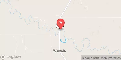 Keya Paha R At Wewela Sd
|
54cfs |
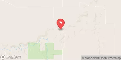 Long Pine Creek Near Riverview
|
196cfs |
Dam Data Reference
Condition Assessment
SatisfactoryNo existing or potential dam safety deficiencies are recognized. Acceptable performance is expected under all loading conditions (static, hydrologic, seismic) in accordance with the minimum applicable state or federal regulatory criteria or tolerable risk guidelines.
Fair
No existing dam safety deficiencies are recognized for normal operating conditions. Rare or extreme hydrologic and/or seismic events may result in a dam safety deficiency. Risk may be in the range to take further action. Note: Rare or extreme event is defined by the regulatory agency based on their minimum
Poor A dam safety deficiency is recognized for normal operating conditions which may realistically occur. Remedial action is necessary. POOR may also be used when uncertainties exist as to critical analysis parameters which identify a potential dam safety deficiency. Investigations and studies are necessary.
Unsatisfactory
A dam safety deficiency is recognized that requires immediate or emergency remedial action for problem resolution.
Not Rated
The dam has not been inspected, is not under state or federal jurisdiction, or has been inspected but, for whatever reason, has not been rated.
Not Available
Dams for which the condition assessment is restricted to approved government users.
Hazard Potential Classification
HighDams assigned the high hazard potential classification are those where failure or mis-operation will probably cause loss of human life.
Significant
Dams assigned the significant hazard potential classification are those dams where failure or mis-operation results in no probable loss of human life but can cause economic loss, environment damage, disruption of lifeline facilities, or impact other concerns. Significant hazard potential classification dams are often located in predominantly rural or agricultural areas but could be in areas with population and significant infrastructure.
Low
Dams assigned the low hazard potential classification are those where failure or mis-operation results in no probable loss of human life and low economic and/or environmental losses. Losses are principally limited to the owner's property.
Undetermined
Dams for which a downstream hazard potential has not been designated or is not provided.
Not Available
Dams for which the downstream hazard potential is restricted to approved government users.

 Govt Canyon Dam