Silver Creek 31 Reservoir Report
Nearby: Silver Creek 30 Silver Creek 25
Last Updated: December 24, 2025
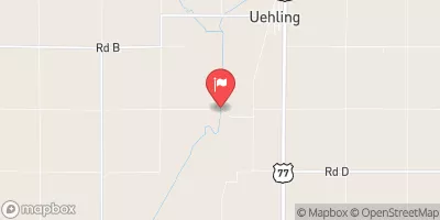
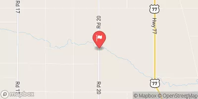
Silver Creek 31, a local government-owned structure located in Burt, Nebraska, serves a crucial purpose in flood risk reduction along the TR-Silver Creek.
°F
°F
mph
Wind
%
Humidity
Summary
Completed in 2006, this earth dam stands at a height of 29 feet, with a hydraulic height matching that figure. With a length of 230 feet and a storage capacity of 30 acre-feet, Silver Creek 31 effectively manages a drainage area of 0.2 square miles, showcasing its importance in safeguarding the surrounding community against potential flooding events.
Managed by the Nebraska Department of Natural Resources, Silver Creek 31 has been deemed to have low hazard potential and a satisfactory condition, as of its last inspection in May 2018. The structure's design features stone core and soil foundation, contributing to its stability and functionality in flood risk reduction efforts. With a maximum discharge capacity of 131 cubic feet per second, the dam has proven its ability to efficiently handle excess water flow during peak periods. Climate and water resource enthusiasts will appreciate the strategic location and design of Silver Creek 31, highlighting the importance of sustainable infrastructure in protecting communities from natural disasters.
The presence of Silver Creek 31 exemplifies proactive measures taken by local authorities to mitigate flood risks in the region, reflecting a commitment to safeguarding both property and lives. As part of the broader network of flood risk reduction structures in Nebraska, this dam stands as a testament to the state's dedication to water resource management and climate resilience. Its strategic placement and effective design make Silver Creek 31 a vital component in the overall flood mitigation strategy, underscoring the significance of infrastructure in addressing environmental challenges and promoting community safety.
Year Completed |
2006 |
Dam Length |
230 |
Dam Height |
29 |
River Or Stream |
TR-SILVER CREEK |
Primary Dam Type |
Earth |
Surface Area |
3 |
Hydraulic Height |
29 |
Drainage Area |
0.2 |
Nid Storage |
30 |
Structural Height |
32 |
Hazard Potential |
Low |
Foundations |
Soil |
Nid Height |
32 |
Seasonal Comparison
Weather Forecast
Nearby Streamflow Levels
 Missouri River At Decatur
|
14300cfs |
 Logan Creek Near Uehling
|
359cfs |
 Monona-Harrison Ditch Near Turin
|
158cfs |
 Soldier River At Pisgah
|
112cfs |
 Little Sioux River Near Turin
|
1040cfs |
 Maple Creek Near Nickerson
|
64cfs |
Dam Data Reference
Condition Assessment
SatisfactoryNo existing or potential dam safety deficiencies are recognized. Acceptable performance is expected under all loading conditions (static, hydrologic, seismic) in accordance with the minimum applicable state or federal regulatory criteria or tolerable risk guidelines.
Fair
No existing dam safety deficiencies are recognized for normal operating conditions. Rare or extreme hydrologic and/or seismic events may result in a dam safety deficiency. Risk may be in the range to take further action. Note: Rare or extreme event is defined by the regulatory agency based on their minimum
Poor A dam safety deficiency is recognized for normal operating conditions which may realistically occur. Remedial action is necessary. POOR may also be used when uncertainties exist as to critical analysis parameters which identify a potential dam safety deficiency. Investigations and studies are necessary.
Unsatisfactory
A dam safety deficiency is recognized that requires immediate or emergency remedial action for problem resolution.
Not Rated
The dam has not been inspected, is not under state or federal jurisdiction, or has been inspected but, for whatever reason, has not been rated.
Not Available
Dams for which the condition assessment is restricted to approved government users.
Hazard Potential Classification
HighDams assigned the high hazard potential classification are those where failure or mis-operation will probably cause loss of human life.
Significant
Dams assigned the significant hazard potential classification are those dams where failure or mis-operation results in no probable loss of human life but can cause economic loss, environment damage, disruption of lifeline facilities, or impact other concerns. Significant hazard potential classification dams are often located in predominantly rural or agricultural areas but could be in areas with population and significant infrastructure.
Low
Dams assigned the low hazard potential classification are those where failure or mis-operation results in no probable loss of human life and low economic and/or environmental losses. Losses are principally limited to the owner's property.
Undetermined
Dams for which a downstream hazard potential has not been designated or is not provided.
Not Available
Dams for which the downstream hazard potential is restricted to approved government users.

 Silver Creek 31