Blake Dam Reservoir Report
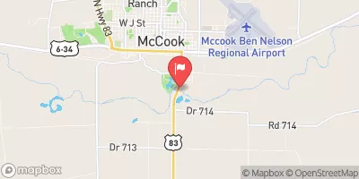
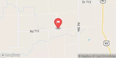
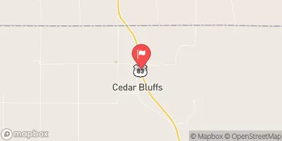
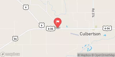
Nearby: Teter Dam Dry Creek 5-A
Last Updated: February 22, 2026
Blake Dam, located in Bartley, Nebraska, along the Republican River, serves as a crucial flood risk reduction structure in the region.
Summary
Built in 1960, this earth dam stands at a height of 14.9 feet with a storage capacity of 76.4 acre-feet. Managed by a private entity, the dam is state-regulated by the Nebraska Department of Natural Resources, ensuring regular inspections and enforcement of safety measures.
With a low hazard potential and a condition assessment labeled as "Not Rated," Blake Dam remains a vital component of the local water resource infrastructure. The dam's primary purpose is flood risk reduction, providing protection to the surrounding area within Red Willow County. Despite not having a designated spillway type or outlet gates, the dam's design and construction have proven effective in managing floodwaters and maintaining normal storage levels.
Water resource and climate enthusiasts can appreciate the engineering behind Blake Dam, as it stands as a testament to effective flood risk management in the region. Its strategic location along the Republican River and efficient design contribute to the overall water management efforts in Nebraska. As a state-regulated structure with a clear purpose and low hazard potential, Blake Dam plays a significant role in safeguarding the local community against potential flooding events.
°F
°F
mph
Wind
%
Humidity
15-Day Weather Outlook
Year Completed |
1960 |
Dam Length |
300 |
Dam Height |
14.9 |
River Or Stream |
TR-REPUBLICAN RIVER |
Primary Dam Type |
Earth |
Surface Area |
9.4 |
Hydraulic Height |
14.9 |
Drainage Area |
1.52 |
Nid Storage |
76.4 |
Structural Height |
14.9 |
Hazard Potential |
Low |
Foundations |
Soil |
Nid Height |
15 |
Seasonal Comparison
5-Day Hourly Forecast Detail
Nearby Streamflow Levels
Dam Data Reference
Condition Assessment
SatisfactoryNo existing or potential dam safety deficiencies are recognized. Acceptable performance is expected under all loading conditions (static, hydrologic, seismic) in accordance with the minimum applicable state or federal regulatory criteria or tolerable risk guidelines.
Fair
No existing dam safety deficiencies are recognized for normal operating conditions. Rare or extreme hydrologic and/or seismic events may result in a dam safety deficiency. Risk may be in the range to take further action. Note: Rare or extreme event is defined by the regulatory agency based on their minimum
Poor A dam safety deficiency is recognized for normal operating conditions which may realistically occur. Remedial action is necessary. POOR may also be used when uncertainties exist as to critical analysis parameters which identify a potential dam safety deficiency. Investigations and studies are necessary.
Unsatisfactory
A dam safety deficiency is recognized that requires immediate or emergency remedial action for problem resolution.
Not Rated
The dam has not been inspected, is not under state or federal jurisdiction, or has been inspected but, for whatever reason, has not been rated.
Not Available
Dams for which the condition assessment is restricted to approved government users.
Hazard Potential Classification
HighDams assigned the high hazard potential classification are those where failure or mis-operation will probably cause loss of human life.
Significant
Dams assigned the significant hazard potential classification are those dams where failure or mis-operation results in no probable loss of human life but can cause economic loss, environment damage, disruption of lifeline facilities, or impact other concerns. Significant hazard potential classification dams are often located in predominantly rural or agricultural areas but could be in areas with population and significant infrastructure.
Low
Dams assigned the low hazard potential classification are those where failure or mis-operation results in no probable loss of human life and low economic and/or environmental losses. Losses are principally limited to the owner's property.
Undetermined
Dams for which a downstream hazard potential has not been designated or is not provided.
Not Available
Dams for which the downstream hazard potential is restricted to approved government users.


 Blake Dam