
Clemson Lower Diversion Dam Reservoir Report
Last Updated: December 6, 2025
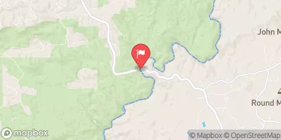
The Clemson Lower Diversion Dam, located in South Carolina, plays a crucial role in flood risk reduction along the Seneca River.
°F
°F
mph
Wind
%
Humidity
Summary
Constructed in 1961 by the US Army Corps of Engineers, this earth dam stands at 75 feet high and spans 3000 feet in length, with a storage capacity of 3,438,700 acre-feet. The dam, along with the Upper Diversion Dam, protects lower elevations of Clemson University from potential flooding by Lake Hartwell.
To mitigate risks associated with seepage and potential embankment failures, the dams have undergone significant modifications over the years, including the installation of concrete cutoff walls and seismic shear walls. Despite these improvements, the Clemson Lower Diversion Dam Saddle Dike poses a moderate risk of failure due to the potential for seepage-induced erosion in the foundation soils. Additionally, there is a small flood risk associated with the USACE pumping station, which may become overwhelmed during heavy rain events, impacting low-lying areas of the university campus.
To manage these risks, the USACE has implemented various measures, including regular inspections, emergency action planning, and coordination with local and state emergency managers. By closely monitoring the dams and pumping station operations, the USACE aims to ensure the continued functionality and safety of the Clemson Lower Diversion Dam and associated structures, providing crucial flood protection for the surrounding area.
Year Completed |
1961 |
Dam Length |
3000 |
Dam Height |
75 |
River Or Stream |
SENECA RIVER |
Primary Dam Type |
Earth |
Hydraulic Height |
69 |
Drainage Area |
2088 |
Nid Storage |
3438700 |
Structural Height |
60 |
Outlet Gates |
None - 0 |
Hazard Potential |
High |
Foundations |
Rock |
Nid Height |
75 |
Seasonal Comparison
Weather Forecast
Nearby Streamflow Levels
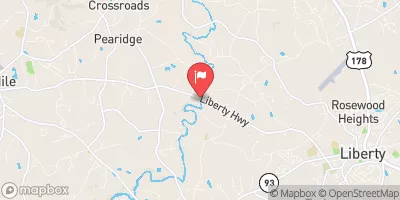 Twelvemile Creek Near Liberty
|
85cfs |
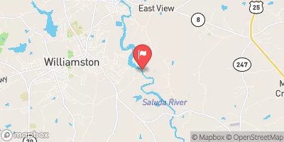 Saluda River Near Williamston
|
458cfs |
 Saluda River Near Greenville
|
348cfs |
 Rocky River Nr Starr
|
58cfs |
 Chattooga River Near Clayton
|
301cfs |
 Reedy River Near Greenville
|
36cfs |
Dam Data Reference
Condition Assessment
SatisfactoryNo existing or potential dam safety deficiencies are recognized. Acceptable performance is expected under all loading conditions (static, hydrologic, seismic) in accordance with the minimum applicable state or federal regulatory criteria or tolerable risk guidelines.
Fair
No existing dam safety deficiencies are recognized for normal operating conditions. Rare or extreme hydrologic and/or seismic events may result in a dam safety deficiency. Risk may be in the range to take further action. Note: Rare or extreme event is defined by the regulatory agency based on their minimum
Poor A dam safety deficiency is recognized for normal operating conditions which may realistically occur. Remedial action is necessary. POOR may also be used when uncertainties exist as to critical analysis parameters which identify a potential dam safety deficiency. Investigations and studies are necessary.
Unsatisfactory
A dam safety deficiency is recognized that requires immediate or emergency remedial action for problem resolution.
Not Rated
The dam has not been inspected, is not under state or federal jurisdiction, or has been inspected but, for whatever reason, has not been rated.
Not Available
Dams for which the condition assessment is restricted to approved government users.
Hazard Potential Classification
HighDams assigned the high hazard potential classification are those where failure or mis-operation will probably cause loss of human life.
Significant
Dams assigned the significant hazard potential classification are those dams where failure or mis-operation results in no probable loss of human life but can cause economic loss, environment damage, disruption of lifeline facilities, or impact other concerns. Significant hazard potential classification dams are often located in predominantly rural or agricultural areas but could be in areas with population and significant infrastructure.
Low
Dams assigned the low hazard potential classification are those where failure or mis-operation results in no probable loss of human life and low economic and/or environmental losses. Losses are principally limited to the owner's property.
Undetermined
Dams for which a downstream hazard potential has not been designated or is not provided.
Not Available
Dams for which the downstream hazard potential is restricted to approved government users.
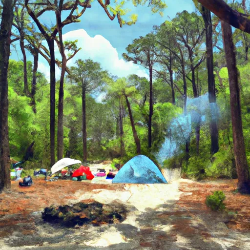
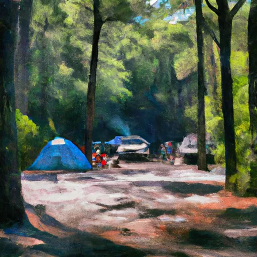
Area Campgrounds
| Location | Reservations | Toilets |
|---|---|---|
 Twin Lakes - Hartwell Lake
|
||
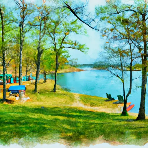 Oconee Point - Hartwell Lake
|
||
 Coneross - Hartwell Lake
|
||
 South Cove
|
||
 South Cove County Park
|
||
 High Falls County Park
|
 Clemson Lower Diversion Dam
 Camp Creek Road Anderson County
 Earl Anderson Park
 Blue Ridge Field
 South Cove County Park