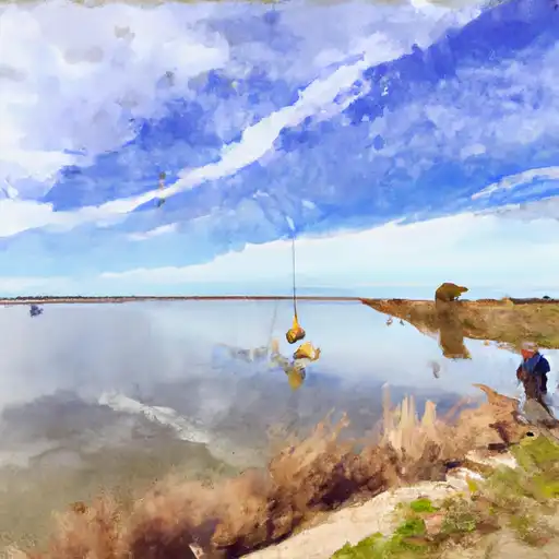
Wall Creek Dam Upper Dam

Wall Creek Dam Upper
Wall Creek Dam Upper, located in Washoe County, Nevada, is a private earth dam primarily used for irrigation purposes on the Wall Creek. The dam stands at a height of 70 feet with a hydraulic height of 65 feet and a structural height of 75 feet, providing a storage capacity of 4700 acre-feet. With a spillway width of 50 feet and a maximum discharge of 3870 cubic feet per second, the dam has a low hazard potential and a poor condition assessment as of the last inspection in July 2019.
Despite its poor condition assessment, Wall Creek Dam Upper remains in operation and is regulated, inspected, and enforced by the Nevada Department of Water Resources. The dam is situated within the Sacramento District and Congressional District 02 of Nevada, under the representation of Mark E. Amodei (R). While the risk assessment for the dam is moderate, with a rating of 3, there are no emergency action plans in place, and the risk management measures are not specified in the available data.
Water resource and climate enthusiasts interested in Wall Creek Dam Upper would find its location and design details intriguing, as well as the operational challenges it faces due to its poor condition assessment. The dam's role in irrigation on Wall Creek highlights the importance of maintaining and managing water resources effectively, especially in the face of potential risks and hazards. Further research and monitoring of the dam's condition and risk management measures could provide valuable insights for enhancing its resilience and sustainability in the future.
Plan around the weather
Same NOAA / yr.no feed Snoflo's iOS app uses. Watch the precipitation column on the meteogram -- rain on the basin upstream typically lifts inflow 24-72 hours later.
Next 5 days, hour by hour
Temperature line with weather symbols on top, snow + rain accumulation as columns, humidity as a dotted line.
5-day forecast table
Every 3 hours, broken out across temperature, snow, rain, humidity, and wind. Each cell is colour-coded relative to the column min/max.
| Time | Condition | Temp (°F) | Snow (in) | Rain (in) | Humidity (%) | Wind (mps) | Wind dir |
|---|---|---|---|---|---|---|---|
| Loading detailed forecast… | |||||||
15-day temperature & precipitation
Daily temperatures, snow, and rain projected over the next two weeks.
Nearby streamflow gauges
USGS streamgauges around Wall Creek Dam Upper -- inflows here typically show up in storage 24-72 hours later.
| Streamgauge | Discharge | View |
|---|---|---|
| Sf Pit R Nr Likely Ca | 108 cfs | → |
| Mahogany Creek Near Summit Lake | 2 cfs | → |


About Wall Creek Dam Upper
Where does the data for Wall Creek Dam Upper come from?
Structural and regulatory data come from the U.S. Army Corps of Engineers' National Inventory of Dams (NID). Weather forecast comes from NOAA / yr.no -- the same feed Snoflo's iOS app uses.
How often is the report updated?
NID structural data refreshes annually as the Corps publishes updated assessments. The weather forecast refreshes throughout the day.
What does the Low hazard rating mean?
The Corps of Engineers' hazard potential classification grades probable consequences if the dam fails: High = probable loss of human life; Significant = no probable loss of human life but possible economic loss / environmental damage; Low = no probable loss of human life, only minor economic / environmental losses. See the Dam Data Reference card below for the full definitions.
What's "% of normal"?
The current storage value compared to the historical average storage on this calendar day. 100% = right on average; values above 100% mean above-normal storage (wet year); values below mean below-normal (dry year or drought).
Can I get alerts when storage crosses a threshold?
Yes -- alerts are managed in the Snoflo iOS app. Favorite this dam, set a threshold, and you'll get a push the moment conditions cross.
Dam data reference
Condition Assessment
- Satisfactory
- No existing or potential dam safety deficiencies are recognized. Acceptable performance is expected under all loading conditions (static, hydrologic, seismic) in accordance with the minimum applicable state or federal regulatory criteria or tolerable risk guidelines.
- Fair
- No existing dam safety deficiencies are recognized for normal operating conditions. Rare or extreme hydrologic and/or seismic events may result in a dam safety deficiency. Risk may be in the range to take further action.
- Poor
- A dam safety deficiency is recognized for normal operating conditions which may realistically occur. Remedial action is necessary. POOR may also be used when uncertainties exist as to critical analysis parameters which identify a potential dam safety deficiency.
- Unsatisfactory
- A dam safety deficiency is recognized that requires immediate or emergency remedial action for problem resolution.
- Not Rated
- The dam has not been inspected, is not under state or federal jurisdiction, or has been inspected but, for whatever reason, has not been rated.
Hazard Potential Classification
- High
- Dams assigned the high hazard potential classification are those where failure or mis-operation will probably cause loss of human life.
- Significant
- Dams assigned the significant hazard potential classification are those dams where failure or mis-operation results in no probable loss of human life but can cause economic loss, environmental damage, disruption of lifeline facilities, or impact other concerns. Significant hazard potential classification dams are often located in predominantly rural or agricultural areas but could be in areas with population and significant infrastructure.
- Low
- Dams assigned the low hazard potential classification are those where failure or mis-operation results in no probable loss of human life and low economic and/or environmental losses. Losses are principally limited to the owner's property.
- Undetermined
- Dams for which a downstream hazard potential has not been designated or is not provided.