South Fork Dam Reservoir Report
Last Updated: January 12, 2026
South Fork Dam, located in Elko, Nevada, along the South Fork Humboldt River, is a state-owned structure constructed in 1989 by the Nevada Department of Conservation and Natural Resources.
°F
°F
mph
Wind
%
Humidity
Summary
The dam primarily serves as a recreational area, providing a fish and wildlife pond, flood risk reduction, and opportunities for outdoor activities. With a height of 55 feet and a length of 1650 feet, the earth dam holds a storage capacity of 52,500 acre-feet and covers a surface area of 1900 acres.
Despite its fair condition assessment, South Fork Dam has a high hazard potential due to its location and the volume of water it can hold. Regular inspections are conducted by the Nevada Division of Water Resources, with the last assessment taking place in October 2021. The dam features controlled spillways and outlet gates for water management, enhancing its structural integrity and ability to handle maximum discharge levels of up to 7750 cubic feet per second. With a very high risk rating, the dam's emergency action plan and risk management measures are crucial to ensuring public safety in case of a potential breach or flooding event.
Year Completed |
1989 |
Dam Length |
1650 |
Dam Height |
55 |
River Or Stream |
SOUTH FORK HUMBOLDT RIVER |
Primary Dam Type |
Earth |
Surface Area |
1900 |
Hydraulic Height |
55 |
Drainage Area |
903 |
Nid Storage |
52500 |
Structural Height |
72 |
Outlet Gates |
Needle - 2, Valve - 1 |
Hazard Potential |
High |
Foundations |
Rock |
Nid Height |
72 |
Seasonal Comparison
Weather Forecast
Nearby Streamflow Levels
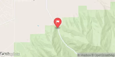
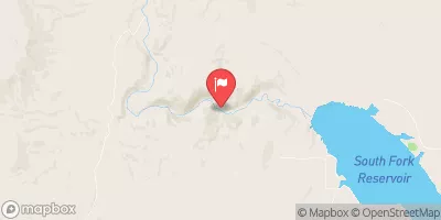 S F Humboldt R Ab Dixie C Nr Elko
|
23cfs |
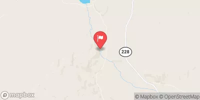 S Fk Humboldt R Abv Tenmile Ck Nr Elko
|
53cfs |
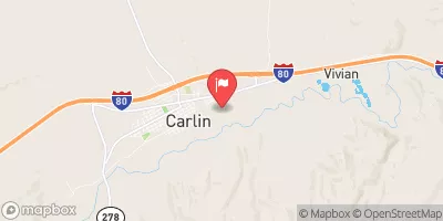
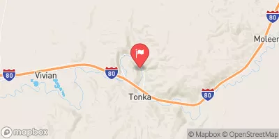 Humboldt R Nr Carlin
|
75cfs |
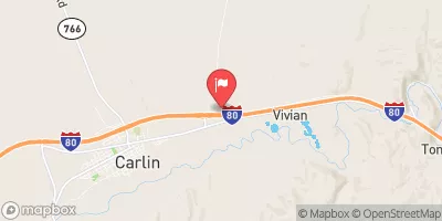 Susie Creek At Carlin
|
4cfs |
 Lamoille C Nr Lamoille
|
14cfs |
 Maggie Ck At Carlin
|
2cfs |
Dam Data Reference
Condition Assessment
SatisfactoryNo existing or potential dam safety deficiencies are recognized. Acceptable performance is expected under all loading conditions (static, hydrologic, seismic) in accordance with the minimum applicable state or federal regulatory criteria or tolerable risk guidelines.
Fair
No existing dam safety deficiencies are recognized for normal operating conditions. Rare or extreme hydrologic and/or seismic events may result in a dam safety deficiency. Risk may be in the range to take further action. Note: Rare or extreme event is defined by the regulatory agency based on their minimum
Poor A dam safety deficiency is recognized for normal operating conditions which may realistically occur. Remedial action is necessary. POOR may also be used when uncertainties exist as to critical analysis parameters which identify a potential dam safety deficiency. Investigations and studies are necessary.
Unsatisfactory
A dam safety deficiency is recognized that requires immediate or emergency remedial action for problem resolution.
Not Rated
The dam has not been inspected, is not under state or federal jurisdiction, or has been inspected but, for whatever reason, has not been rated.
Not Available
Dams for which the condition assessment is restricted to approved government users.
Hazard Potential Classification
HighDams assigned the high hazard potential classification are those where failure or mis-operation will probably cause loss of human life.
Significant
Dams assigned the significant hazard potential classification are those dams where failure or mis-operation results in no probable loss of human life but can cause economic loss, environment damage, disruption of lifeline facilities, or impact other concerns. Significant hazard potential classification dams are often located in predominantly rural or agricultural areas but could be in areas with population and significant infrastructure.
Low
Dams assigned the low hazard potential classification are those where failure or mis-operation results in no probable loss of human life and low economic and/or environmental losses. Losses are principally limited to the owner's property.
Undetermined
Dams for which a downstream hazard potential has not been designated or is not provided.
Not Available
Dams for which the downstream hazard potential is restricted to approved government users.

 South Fork Dam