Mathews Canyon Dam Reservoir Report
Last Updated: December 25, 2025
Located in Mathews Canyon near Caliente, Nevada, Mathews Canyon Dam was completed in 1957 by the US Army Corps of Engineers to serve as a vital flood risk reduction structure along the Mathews Canyon river.
°F
°F
mph
Wind
%
Humidity
Summary
Standing at 71 feet tall with a length of 806 feet, the earth-type dam has a storage capacity of 12,420 acre-feet and a maximum discharge of 13,060 cubic feet per second. Despite its relatively small surface area of 1 acre, the dam plays a crucial role in managing water levels and mitigating flood risks in the region.
With a high hazard potential, Mathews Canyon Dam undergoes regular inspections and risk assessments to ensure its structural integrity and readiness for potential emergencies. The US Army Corps of Engineers actively engages with local emergency managers and the public to raise awareness about the dam and develop emergency action plans. With a focus on monitoring, maintenance, and risk management measures, including the preparation of inundation maps and risk assessments, the USACE is dedicated to safeguarding the surrounding communities from the impacts of dam-related emergencies and severe weather events. As a key flood control infrastructure, Mathews Canyon Dam stands as a critical piece in the region's water resource and climate resilience efforts.
Year Completed |
1957 |
Dam Length |
806 |
Dam Height |
71 |
River Or Stream |
MATHEWS CANYON |
Primary Dam Type |
Earth |
Surface Area |
1 |
Hydraulic Height |
66 |
Drainage Area |
34 |
Nid Storage |
12420 |
Outlet Gates |
None - 0 |
Hazard Potential |
High |
Nid Height |
71 |
Seasonal Comparison
Weather Forecast
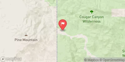
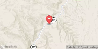
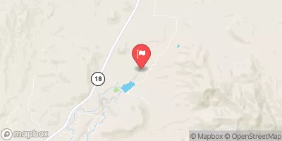
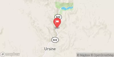
Nearby Streamflow Levels
Dam Data Reference
Condition Assessment
SatisfactoryNo existing or potential dam safety deficiencies are recognized. Acceptable performance is expected under all loading conditions (static, hydrologic, seismic) in accordance with the minimum applicable state or federal regulatory criteria or tolerable risk guidelines.
Fair
No existing dam safety deficiencies are recognized for normal operating conditions. Rare or extreme hydrologic and/or seismic events may result in a dam safety deficiency. Risk may be in the range to take further action. Note: Rare or extreme event is defined by the regulatory agency based on their minimum
Poor A dam safety deficiency is recognized for normal operating conditions which may realistically occur. Remedial action is necessary. POOR may also be used when uncertainties exist as to critical analysis parameters which identify a potential dam safety deficiency. Investigations and studies are necessary.
Unsatisfactory
A dam safety deficiency is recognized that requires immediate or emergency remedial action for problem resolution.
Not Rated
The dam has not been inspected, is not under state or federal jurisdiction, or has been inspected but, for whatever reason, has not been rated.
Not Available
Dams for which the condition assessment is restricted to approved government users.
Hazard Potential Classification
HighDams assigned the high hazard potential classification are those where failure or mis-operation will probably cause loss of human life.
Significant
Dams assigned the significant hazard potential classification are those dams where failure or mis-operation results in no probable loss of human life but can cause economic loss, environment damage, disruption of lifeline facilities, or impact other concerns. Significant hazard potential classification dams are often located in predominantly rural or agricultural areas but could be in areas with population and significant infrastructure.
Low
Dams assigned the low hazard potential classification are those where failure or mis-operation results in no probable loss of human life and low economic and/or environmental losses. Losses are principally limited to the owner's property.
Undetermined
Dams for which a downstream hazard potential has not been designated or is not provided.
Not Available
Dams for which the downstream hazard potential is restricted to approved government users.


 Mathews Canyon Dam
 Beaver Dam Wash