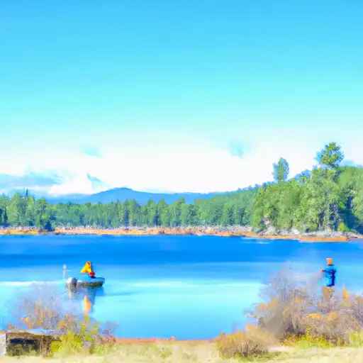
Topaz Lk Nr Topaz Reservoir
As of July 21, 2026, Topaz Lk Nr Topaz is holding 43,290 ac-ft of water — 47608% of normal storage for this date. Storage data refreshed throughout the day.

Topaz Lk Nr Topaz
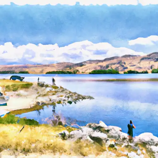
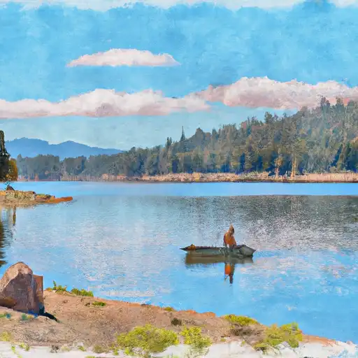
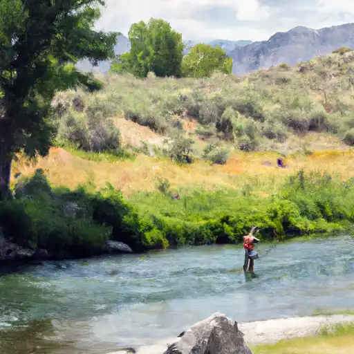
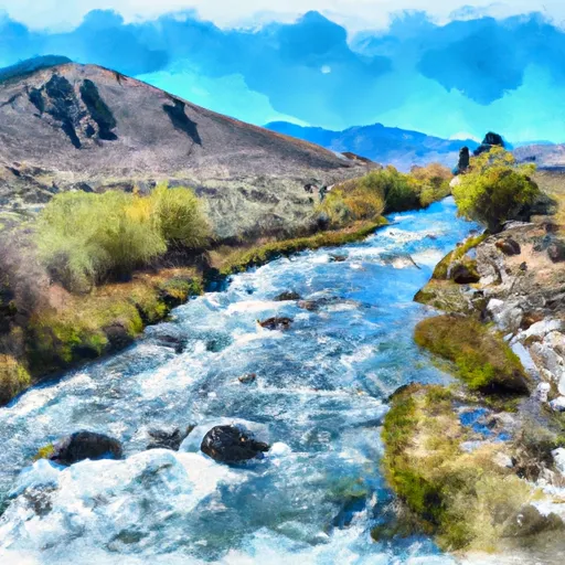
Topaz Lake is a reservoir located in Douglas County, Nevada, close to the California border. The lake was created in 1922 with the construction of the Topaz Lake Dam. The area is known for its natural beauty and offers a range of recreational activities, including fishing, boating, camping, and hiking. The lake's hydrology is primarily supplied by the West Walker River, East Walker River, and other mountain streams. The lake's water level is affected by snowpack, which is provided by the Sierra Nevada Mountains. The area is also used for agricultural purposes, including hay and cattle ranching. Despite being a popular recreational area, Topaz Lake was also historically significant as it was used as a trading hub for Native Americans and early settlers.
Daily levels at Topaz Lk Nr Topaz
Storage volume, pool elevation, and total release plotted from the operating agency's daily observations.
Reservoir storage, acre-ft
ac-ft · code 00054
Elevation of reservoir water surface above datum, ft
ft · code 00062
Plan around the weather
Same NOAA / yr.no feed Snoflo's iOS app uses. Watch the precipitation column on the meteogram -- rain on the basin upstream typically lifts inflow 24-72 hours later.
Next 5 days, hour by hour
Temperature line with weather symbols on top, snow + rain accumulation as columns, humidity as a dotted line.
5-day forecast table
Every 3 hours, broken out across temperature, snow, rain, humidity, and wind. Each cell is colour-coded relative to the column min/max.
| Time | Condition | Temp (°F) | Snow (in) | Rain (in) | Humidity (%) | Wind (mps) | Wind dir |
|---|---|---|---|---|---|---|---|
| Loading detailed forecast… | |||||||
15-day temperature & precipitation
Daily temperatures, snow, and rain projected over the next two weeks.
Nearby streamflow gauges
USGS streamgauges around Topaz Lk Nr Topaz -- inflows here typically show up in storage 24-72 hours later.
| Streamgauge | Discharge | View |
|---|---|---|
| W Walker R At Hoye Bridge Nr Wellington | 229 cfs | → |
| Aspen C Abv Leviathan Mine Nr Markleeville Ca | 0 cfs | → |
| Aspen C Overburden Seep Nr Markleeville Ca | 0 cfs | → |
| Leviathan C Ab Mine Nr Markleeville Ca | 0 cfs | → |
| Bryant C Bl Mountaineer C Nr Markleeville Ca | 2 cfs | → |
| Leviathan Mine Adit Drain Nr Markleeville Ca | 0 cfs | → |


About Topaz Lk Nr Topaz
Where does the data for Topaz Lk Nr Topaz come from?
Daily storage, pool elevation, and release rates are sourced from USGS, USBR, and USACE monitoring stations. Weather forecast comes from NOAA / yr.no -- the same feed Snoflo's iOS app uses.
How often is the report updated?
Storage observations are updated daily by the operating agency. The 15-day weather forecast refreshes throughout the day. Snoflo caches and renders the most recent observation -- check the "as of" timestamp on the storage card.
What does the Hazard hazard rating mean?
The Corps of Engineers' hazard potential classification grades probable consequences if the dam fails: High = probable loss of human life; Significant = no probable loss of human life but possible economic loss / environmental damage; Low = no probable loss of human life, only minor economic / environmental losses. See the Dam Data Reference card below for the full definitions.
What's "% of normal"?
The current storage value compared to the historical average storage on this calendar day. 100% = right on average; values above 100% mean above-normal storage (wet year); values below mean below-normal (dry year or drought).
Can I get alerts when storage crosses a threshold?
Yes -- alerts are managed in the Snoflo iOS app. Favorite this reservoir, set a threshold, and you'll get a push the moment conditions cross.