

Mud Pond Reservoir Report
Nearby: Lake Abenaki Lake Fairlee
Last Updated: April 9, 2026
Mud Pond, also known as Forsythe Pond or Nikak, is a private water resource located in Thetford, Vermont.
Summary
This picturesque pond is regulated by the Vermont Department of Environmental Conservation and is primarily used for recreation. The dam, completed in 1940, is an earth structure with a height of 11 feet and a length of 120 feet, providing a storage capacity of 90 acre-feet.
With a surface area of 13 acres and a drainage area of 1 square mile, Mud Pond serves as a tranquil retreat for water and climate enthusiasts in Orange County, Vermont. While the hazard potential is rated as low, the dam's condition has not been formally assessed since its last inspection in 1980. Despite this, the pond remains a popular spot for outdoor activities, with its serene surroundings and recreational opportunities drawing visitors year-round.
Although the dam's emergency action plan and risk management measures are currently unassigned or undeveloped, Mud Pond continues to be a haven for nature lovers seeking a peaceful escape. Its location along the Ompompanoosuc River and status as a private recreational site make it a valuable water resource in the New England District, showcasing the importance of sustainable management and preservation of our natural landscapes.
°F
°F
mph
Wind
%
Humidity
15-Day Weather Outlook
Year Completed |
1940 |
Dam Length |
120 |
Dam Height |
11 |
River Or Stream |
OMPOMPANOOSUC RIVER-TR |
Primary Dam Type |
Earth |
Surface Area |
13 |
Hydraulic Height |
11 |
Drainage Area |
1 |
Nid Storage |
90 |
Structural Height |
11 |
Hazard Potential |
Low |
Foundations |
Soil |
Nid Height |
11 |
Seasonal Comparison
5-Day Hourly Forecast Detail
Nearby Streamflow Levels
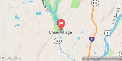 Ompompanoosuc River At Union Village
|
16cfs |
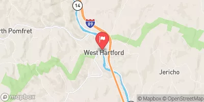 White River At West Hartford
|
1960cfs |
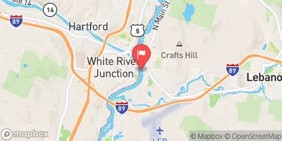 Connecticut River At West Lebanon
|
13500cfs |
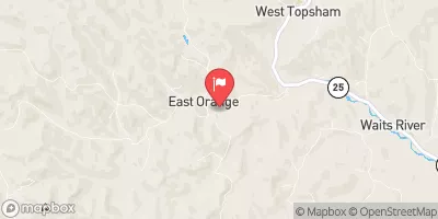 East Orange Branch At East Orange
|
37cfs |
 Ottauquechee River At North Hartland
|
629cfs |
 Baker River Near Rumney
|
427cfs |
Dam Data Reference
Condition Assessment
SatisfactoryNo existing or potential dam safety deficiencies are recognized. Acceptable performance is expected under all loading conditions (static, hydrologic, seismic) in accordance with the minimum applicable state or federal regulatory criteria or tolerable risk guidelines.
Fair
No existing dam safety deficiencies are recognized for normal operating conditions. Rare or extreme hydrologic and/or seismic events may result in a dam safety deficiency. Risk may be in the range to take further action. Note: Rare or extreme event is defined by the regulatory agency based on their minimum
Poor A dam safety deficiency is recognized for normal operating conditions which may realistically occur. Remedial action is necessary. POOR may also be used when uncertainties exist as to critical analysis parameters which identify a potential dam safety deficiency. Investigations and studies are necessary.
Unsatisfactory
A dam safety deficiency is recognized that requires immediate or emergency remedial action for problem resolution.
Not Rated
The dam has not been inspected, is not under state or federal jurisdiction, or has been inspected but, for whatever reason, has not been rated.
Not Available
Dams for which the condition assessment is restricted to approved government users.
Hazard Potential Classification
HighDams assigned the high hazard potential classification are those where failure or mis-operation will probably cause loss of human life.
Significant
Dams assigned the significant hazard potential classification are those dams where failure or mis-operation results in no probable loss of human life but can cause economic loss, environment damage, disruption of lifeline facilities, or impact other concerns. Significant hazard potential classification dams are often located in predominantly rural or agricultural areas but could be in areas with population and significant infrastructure.
Low
Dams assigned the low hazard potential classification are those where failure or mis-operation results in no probable loss of human life and low economic and/or environmental losses. Losses are principally limited to the owner's property.
Undetermined
Dams for which a downstream hazard potential has not been designated or is not provided.
Not Available
Dams for which the downstream hazard potential is restricted to approved government users.
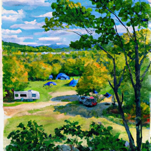
Area Campgrounds
| Location | Reservations | Toilets |
|---|---|---|
 Roaring Brook Campsite
|
||
 Patchen's Point
|
||
 Trapper John Shelter
|
||
 Campsite 15
|
||
 Campsite 14
|
||
 Campsite 16
|
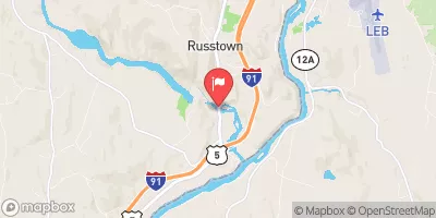
 Mud Pond
 Post Pond boat launch