Bluewater Lake Near Bluewater Reservoir Report
Last Updated: January 12, 2026
Bluewater Lake is a reservoir located in Cibola County, New Mexico, near the town of Bluewater.
°F
°F
mph
Wind
%
Humidity
Summary
The lake was created in 1920 when a dam was constructed on the Bluewater Creek. The hydrology of the lake is mainly fed by surface runoff and snowpack from the Zuni Mountains, which are located to the east. The lake is a popular recreational spot that offers fishing, boating, and camping. The primary fish species found in the lake are rainbow trout, channel catfish, and tiger muskie. The lake also serves as a source of irrigation water for nearby agricultural lands. Overall, Bluewater Lake is an important feature of the local landscape and provides both economic and recreational benefits to the surrounding communities.
Reservoir Details
| Lake Or Reservoir Water Surface Elevation Above Ngvd 1929, Ft 24hr Change | 0.0% |
| Percent of Normal | 100% |
| Minimum |
7,354.68 ft
2023-01-29 |
| Maximum |
7,389.43 ft
2023-01-25 |
| Average | 7,368 ft |
| Dam_Height | 75 |
| Drainage_Area | 207 |
| Year_Completed | 1927 |
| Nid_Storage | 44150 |
| Structural_Height | 99 |
| Foundations | Unlisted/Unknown |
| Surface_Area | 1730 |
| Outlet_Gates | Slide (sluice gate) - 0, Valve - 0 |
| River_Or_Stream | BLUEWATER CREEK |
| Dam_Length | 655 |
| Hazard_Potential | High |
| Primary_Dam_Type | Arch |
| Nid_Height | 99 |
Seasonal Comparison
Reservoir Storage, Acre-Ft Levels
Lake Or Reservoir Water Surface Elevation Above Ngvd 1929, Ft Levels
Weather Forecast
Nearby Streamflow Levels
Dam Data Reference
Condition Assessment
SatisfactoryNo existing or potential dam safety deficiencies are recognized. Acceptable performance is expected under all loading conditions (static, hydrologic, seismic) in accordance with the minimum applicable state or federal regulatory criteria or tolerable risk guidelines.
Fair
No existing dam safety deficiencies are recognized for normal operating conditions. Rare or extreme hydrologic and/or seismic events may result in a dam safety deficiency. Risk may be in the range to take further action. Note: Rare or extreme event is defined by the regulatory agency based on their minimum
Poor A dam safety deficiency is recognized for normal operating conditions which may realistically occur. Remedial action is necessary. POOR may also be used when uncertainties exist as to critical analysis parameters which identify a potential dam safety deficiency. Investigations and studies are necessary.
Unsatisfactory
A dam safety deficiency is recognized that requires immediate or emergency remedial action for problem resolution.
Not Rated
The dam has not been inspected, is not under state or federal jurisdiction, or has been inspected but, for whatever reason, has not been rated.
Not Available
Dams for which the condition assessment is restricted to approved government users.
Hazard Potential Classification
HighDams assigned the high hazard potential classification are those where failure or mis-operation will probably cause loss of human life.
Significant
Dams assigned the significant hazard potential classification are those dams where failure or mis-operation results in no probable loss of human life but can cause economic loss, environment damage, disruption of lifeline facilities, or impact other concerns. Significant hazard potential classification dams are often located in predominantly rural or agricultural areas but could be in areas with population and significant infrastructure.
Low
Dams assigned the low hazard potential classification are those where failure or mis-operation results in no probable loss of human life and low economic and/or environmental losses. Losses are principally limited to the owner's property.
Undetermined
Dams for which a downstream hazard potential has not been designated or is not provided.
Not Available
Dams for which the downstream hazard potential is restricted to approved government users.
Area Campgrounds
| Location | Reservations | Toilets |
|---|---|---|
 Bluewater Lake State Park
|
||
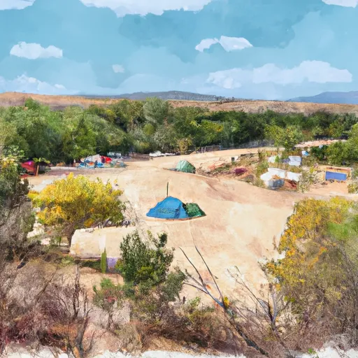 Ojo Redondo Campground
|
||
 Ojo Redondo
|

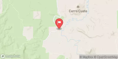
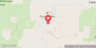
 Bluewater Dam
 Bluewater Lake Near Bluewater
 Bluewater Creek