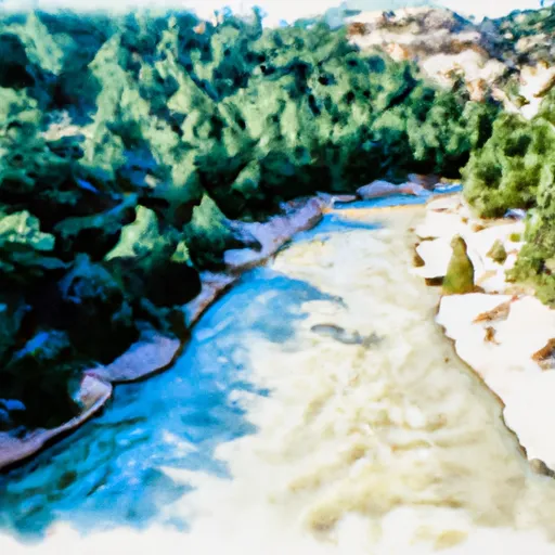
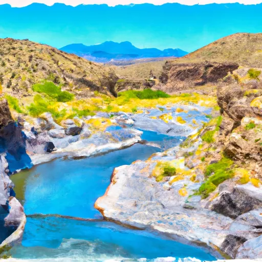
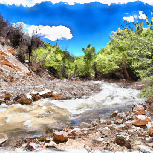
Brantley Lake
As of August 2, 2026, Brantley Lake is holding 38,420 acre-ft of water — 155% of normal storage for this date. Storage data refreshed throughout the day.

Brantley Lake
Brantley Lake in New Mexico is a man-made reservoir created in the 1980s for irrigation and flood control. The reservoir is fed by the Pecos River and surface runoff from surrounding areas. The hydrology of the lake is influenced by the intermittent flows of the Pecos River, and the snowpack from the nearby mountains. The lake provides water for agricultural irrigation, and recreational activities such as fishing, boating, and camping. The reservoir is also a popular spot for bird watching, with over 200 bird species identified in the surrounding area. However, the lake has faced challenges including water quality issues caused by agricultural runoff, and decreased water levels due to drought conditions in the region. Despite these challenges, Brantley Lake remains an important resource for the surrounding communities.
Daily levels at Brantley Lake
Storage volume, pool elevation, and total release plotted from the operating agency's daily observations.
Bank storage
acre-feet · code 1
Storage
acre-ft · code 17
Inflow
cfs · code 29
Pool Elevation
ft · code 49
Total Release
cfs · code 42
Plan around the weather
Same NOAA / yr.no feed Snoflo's iOS app uses. Watch the precipitation column on the meteogram -- rain on the basin upstream typically lifts inflow 24-72 hours later.
Next 5 days, hour by hour
Temperature line with weather symbols on top, snow + rain accumulation as columns, humidity as a dotted line.
5-day forecast table
Every 3 hours, broken out across temperature, snow, rain, humidity, and wind. Each cell is colour-coded relative to the column min/max.
| Time | Condition | Temp (°F) | Snow (in) | Rain (in) | Humidity (%) | Wind (mps) | Wind dir |
|---|---|---|---|---|---|---|---|
| Loading detailed forecast… | |||||||
15-day temperature & precipitation
Daily temperatures, snow, and rain projected over the next two weeks.
Nearby streamflow gauges
USGS streamgauges around Brantley Lake -- inflows here typically show up in storage 24-72 hours later.
| Streamgauge | Discharge | View |
|---|---|---|
| Pecos River Below Brantley Dam Near Carlsbad | 228 cfs | → |
| Rocky Arroyo At Hwy Brd Nr Carlsbad | · | → |
| Pecos R At Damsite 3 Nr Carlsbad | 223 cfs | → |
| South Seven Rivers Nr Lakewood | · | → |
| Pecos River Below Avalon Dam | · | → |
| Carlsbad Main Canal At Head Near Carlsbad | 129 cfs | → |
Make a day of it
Boat launches, lakeside camping, fishing access, and other reservoirs near Brantley Lake.
Boat launches
See all →


Campgrounds
See all →


Fishing spots
See all →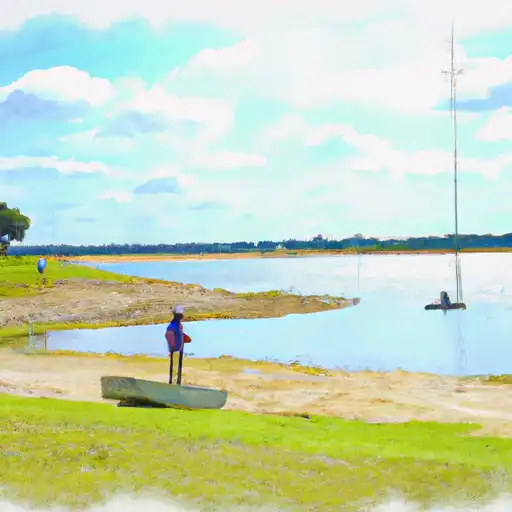
River runs
See all →
More reservoirs
See all →

About Brantley Lake
What is the water level at Brantley Lake right now?
As of August 2, 2026, Brantley Lake is holding 38,420 acre-ft, about 155% of normal for this date. Pool elevation and the year-over-year trend are shown above.
Is Brantley Lake high or low right now?
Compare the percent-of-normal figure on this page: above 100% means storage is higher than the historical average for the date (a wet year), below 100% means lower (a dry year or drought). The daily-levels chart shows the current trend.
Where does the data for Brantley Lake come from?
Daily storage, pool elevation, and release rates are sourced from USGS, USBR, and USACE monitoring stations. Weather forecast comes from NOAA / yr.no -- the same feed Snoflo's iOS app uses.
How often is the report updated?
Storage observations are updated daily by the operating agency. The 15-day weather forecast refreshes throughout the day. Snoflo caches and renders the most recent observation -- check the "as of" timestamp on the storage card.
What does the Hazard hazard rating mean?
The Corps of Engineers' hazard potential classification grades probable consequences if the dam fails: High = probable loss of human life; Significant = no probable loss of human life but possible economic loss / environmental damage; Low = no probable loss of human life, only minor economic / environmental losses. See the Dam Data Reference card below for the full definitions.
What's "% of normal"?
The current storage value compared to the historical average storage on this calendar day. 100% = right on average; values above 100% mean above-normal storage (wet year); values below mean below-normal (dry year or drought).
Can I get alerts when storage crosses a threshold?
Yes -- alerts are managed in the Snoflo iOS app. Favorite this reservoir, set a threshold, and you'll get a push the moment conditions cross.