Caballo Reservoir reservoir

Caballo Reservoir
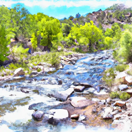
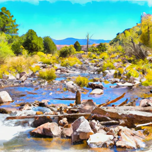
Caballo Reservoir is a water storage facility located in southern New Mexico, constructed in 1938 by the Bureau of Reclamation. The reservoir has a capacity of 220,000 acre-feet and is primarily fed by the Rio Grande river. The hydrology of Caballo Reservoir is dependent on surface flow from the Rio Grande and snowpack from the surrounding mountains. The reservoir provides water for agricultural irrigation and municipal use in the surrounding areas, and is also used for recreational activities such as boating and fishing. Some of the major snowpack providers for Caballo Reservoir include the Black Range, Sierra Blanca, and San Andres Mountains. The reservoir has played a significant role in the development of the area's agricultural industry, and continues to provide critical water resources for the region.
Daily levels at Caballo Reservoir
Storage volume, pool elevation, and total release plotted from the operating agency's daily observations.
Storage
acre-ft · code 17
Inflow
cfs · code 29
Pool Elevation
ft · code 49
Total Release
cfs · code 42
Plan around the weather
Same NOAA / yr.no feed Snoflo's iOS app uses. Watch the precipitation column on the meteogram -- rain on the basin upstream typically lifts inflow 24-72 hours later.
Next 5 days, hour by hour
Temperature line with weather symbols on top, snow + rain accumulation as columns, humidity as a dotted line.
5-day forecast table
Every 3 hours, broken out across temperature, snow, rain, humidity, and wind. Each cell is colour-coded relative to the column min/max.
| Time | Condition | Temp (°F) | Snow (in) | Rain (in) | Humidity (%) | Wind (mps) | Wind dir |
|---|---|---|---|---|---|---|---|
| Loading detailed forecast… | |||||||
15-day temperature & precipitation
Daily temperatures, snow, and rain projected over the next two weeks.
Nearby streamflow gauges
USGS streamgauges around Caballo Reservoir -- inflows here typically show up in storage 24-72 hours later.
| Streamgauge | Discharge | View |
|---|---|---|
| Rio Grande Below Elephant Butte Dam | 843 cfs | → |
| Rio Grande At Narrows In Elephant Butte Res. | · | → |
| Mimbres River At Mimbres | 1,040 cfs | → |
Make a day of it
Boat launches, lakeside camping, fishing access, and other reservoirs near Caballo Reservoir.
Boat launches
See all →


Campgrounds
See all →


River runs
See all →
More reservoirs
See all →
About Caballo Reservoir
Where does the data for Caballo Reservoir come from?
Daily storage, pool elevation, and release rates are sourced from USGS, USBR, and USACE monitoring stations. Weather forecast comes from NOAA / yr.no -- the same feed Snoflo's iOS app uses.
How often is the report updated?
Storage observations are updated daily by the operating agency. The 15-day weather forecast refreshes throughout the day. Snoflo caches and renders the most recent observation -- check the "as of" timestamp on the storage card.
What does the Hazard hazard rating mean?
The Corps of Engineers' hazard potential classification grades probable consequences if the dam fails: High = probable loss of human life; Significant = no probable loss of human life but possible economic loss / environmental damage; Low = no probable loss of human life, only minor economic / environmental losses. See the Dam Data Reference card below for the full definitions.
What's "% of normal"?
The current storage value compared to the historical average storage on this calendar day. 100% = right on average; values above 100% mean above-normal storage (wet year); values below mean below-normal (dry year or drought).
Can I get alerts when storage crosses a threshold?
Yes -- alerts are managed in the Snoflo iOS app. Favorite this reservoir, set a threshold, and you'll get a push the moment conditions cross.