
Summary
Completed in 1952, this earth dam stands at a height of 8 feet and stretches 700 feet in length. With a storage capacity of 831 acre-feet, it primarily serves the purpose of irrigation for the surrounding area. Despite its low hazard potential, the dam has not been rated for its condition and has not undergone an inspection since January 1998.
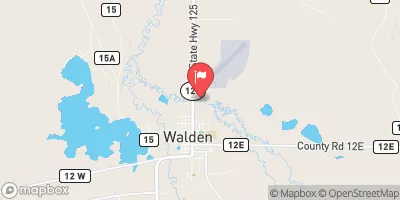
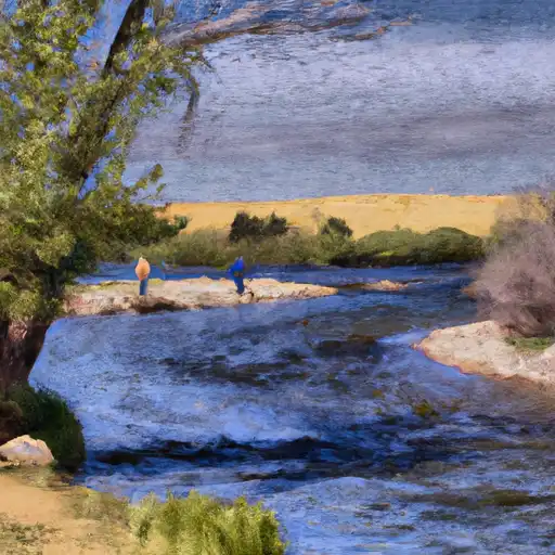
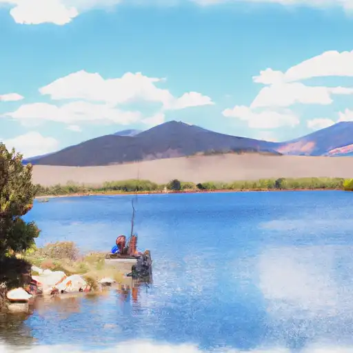
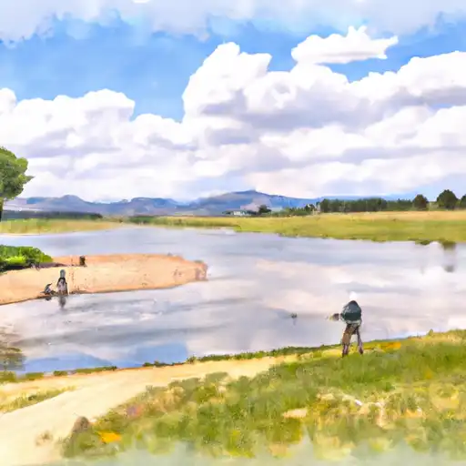
Situated on the Michigan Creek-OS river system, Cowdrey plays a crucial role in providing water for fire protection, stock, and small fish ponds in addition to irrigation. The dam's maximum discharge capacity is 26 cubic feet per second, with a surface area of 218 acres. While it lacks a spillway, its emergency action plan status remains unknown, adding a layer of uncertainty to its risk assessment.
For water resource and climate enthusiasts, Cowdrey presents an intriguing case study in the management and regulation of private irrigation dams in Colorado. As a state-regulated structure with permits for inspection and enforcement, its role in the local ecosystem and community highlights the importance of maintaining infrastructure for sustainable water use. With its historical significance and potential risks, the future of Cowdrey raises questions about the resilience and stewardship of water resources in the face of changing climates and environmental challenges.
Year Completed |
1952 |
Dam Length |
700 |
Dam Height |
8 |
River Or Stream |
MICHIGAN CREEK-OS |
Primary Dam Type |
Earth |
Surface Area |
218 |
Hydraulic Height |
8 |
Nid Storage |
831 |
Structural Height |
8 |
Hazard Potential |
Low |
Nid Height |
8 |
Seasonal Comparison
Weather Forecast
Nearby Streamflow Levels
 Michigan River At Walden
|
-999cfs |
 North Platte River Near Northgate
|
109cfs |
 Laramie River Near Glendevey
|
-999cfs |
 Illinois Creek Near Rand
|
-999cfs |
 Laramie R Bl Pioneer Canal Nr Woods Landing
|
1010cfs |
 Pioneer Canal Near Woods
|
174cfs |
Dam Data Reference
Condition Assessment
SatisfactoryNo existing or potential dam safety deficiencies are recognized. Acceptable performance is expected under all loading conditions (static, hydrologic, seismic) in accordance with the minimum applicable state or federal regulatory criteria or tolerable risk guidelines.
Fair
No existing dam safety deficiencies are recognized for normal operating conditions. Rare or extreme hydrologic and/or seismic events may result in a dam safety deficiency. Risk may be in the range to take further action. Note: Rare or extreme event is defined by the regulatory agency based on their minimum
Poor A dam safety deficiency is recognized for normal operating conditions which may realistically occur. Remedial action is necessary. POOR may also be used when uncertainties exist as to critical analysis parameters which identify a potential dam safety deficiency. Investigations and studies are necessary.
Unsatisfactory
A dam safety deficiency is recognized that requires immediate or emergency remedial action for problem resolution.
Not Rated
The dam has not been inspected, is not under state or federal jurisdiction, or has been inspected but, for whatever reason, has not been rated.
Not Available
Dams for which the condition assessment is restricted to approved government users.
Hazard Potential Classification
HighDams assigned the high hazard potential classification are those where failure or mis-operation will probably cause loss of human life.
Significant
Dams assigned the significant hazard potential classification are those dams where failure or mis-operation results in no probable loss of human life but can cause economic loss, environment damage, disruption of lifeline facilities, or impact other concerns. Significant hazard potential classification dams are often located in predominantly rural or agricultural areas but could be in areas with population and significant infrastructure.
Low
Dams assigned the low hazard potential classification are those where failure or mis-operation results in no probable loss of human life and low economic and/or environmental losses. Losses are principally limited to the owner's property.
Undetermined
Dams for which a downstream hazard potential has not been designated or is not provided.
Not Available
Dams for which the downstream hazard potential is restricted to approved government users.
 Cowdrey Lake Rec Site
 North Sand Hills Rec Area
 North Sand Hills Campground
 North Sand Hills - Kremmling RMA
 North Sand Hills Rec Area Campsite
 Sheep Mountain Rec Area
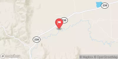
 Cowdrey
 South Sec Line, Sec 2, T11N, R80W To Co/Wy Stateline
 North Platte River
 Lake John
 North Delaney
 East Delaney
 South Delaney