


Greenwood Lk At Awosting Nj Reservoir Report
Last Updated: May 1, 2026
°F
°F
mph
Wind
%
Humidity
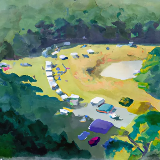
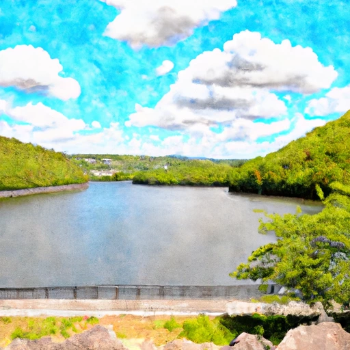
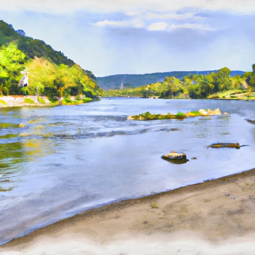
Greenwood Lake at Awosting in New Jersey is a popular recreational destination for boating, fishing, and swimming.
Summary
The lake is situated in the Ramapo Mountains and spans across both New Jersey and New York. Greenwood Lake was originally built in the 1830s as part of a canal system to transport goods between New York City and the Delaware River. Today, the lake is primarily fed by the Wanaque and Ringwood rivers and its hydrology is largely affected by precipitation, snowpack, and surface runoff. The lake serves as a major source of drinking water for several communities in northern New Jersey. While there are no significant agricultural uses, the lake is a popular spot for recreational fishing and boating.
Regional Streamflow Levels
 Wanaque River At Awosting Nj
|
43cfs |
 Ringwood Creek Near Wanaque Nj
|
33cfs |
 West Brook Near Wanaque Nj
|
25cfs |
 Wanaque R At Wanaque Nj
|
14cfs |
 Ramapo River At Ramapo Ny
|
179cfs |
 Ramapo River At Suffern Ny
|
165cfs |
15-Day Long Term Forecast
Reservoir Details
| Lake Or Reservoir Water Surface Elevation Above Navd 1988, Ft 24hr Change | 0.0% |
| Percent of Normal | 100% |
| Minimum |
613.41 ft
2021-12-05 |
| Maximum |
697.07 ft
2025-06-18 |
| Average | 619 ft |
| Dam_Height | 17 |
| Drainage_Area | 27.1 |
| Year_Completed | 1928 |
| Nid_Storage | 13269 |
| Primary_Dam_Type | Concrete |
| River_Or_Stream | Wanaque River |
| Surface_Area | 1733 |
| Hazard_Potential | High |
| Dam_Length | 270 |
| Nid_Height | 17 |
Seasonal Comparison
Gage Height, Ft Levels
Lake Or Reservoir Water Surface Elevation Above Navd 1988, Ft Levels
5-Day Hourly Forecast Detail
Dam Data Reference
Condition Assessment
SatisfactoryNo existing or potential dam safety deficiencies are recognized. Acceptable performance is expected under all loading conditions (static, hydrologic, seismic) in accordance with the minimum applicable state or federal regulatory criteria or tolerable risk guidelines.
Fair
No existing dam safety deficiencies are recognized for normal operating conditions. Rare or extreme hydrologic and/or seismic events may result in a dam safety deficiency. Risk may be in the range to take further action. Note: Rare or extreme event is defined by the regulatory agency based on their minimum
Poor A dam safety deficiency is recognized for normal operating conditions which may realistically occur. Remedial action is necessary. POOR may also be used when uncertainties exist as to critical analysis parameters which identify a potential dam safety deficiency. Investigations and studies are necessary.
Unsatisfactory
A dam safety deficiency is recognized that requires immediate or emergency remedial action for problem resolution.
Not Rated
The dam has not been inspected, is not under state or federal jurisdiction, or has been inspected but, for whatever reason, has not been rated.
Not Available
Dams for which the condition assessment is restricted to approved government users.
Hazard Potential Classification
HighDams assigned the high hazard potential classification are those where failure or mis-operation will probably cause loss of human life.
Significant
Dams assigned the significant hazard potential classification are those dams where failure or mis-operation results in no probable loss of human life but can cause economic loss, environment damage, disruption of lifeline facilities, or impact other concerns. Significant hazard potential classification dams are often located in predominantly rural or agricultural areas but could be in areas with population and significant infrastructure.
Low
Dams assigned the low hazard potential classification are those where failure or mis-operation results in no probable loss of human life and low economic and/or environmental losses. Losses are principally limited to the owner's property.
Undetermined
Dams for which a downstream hazard potential has not been designated or is not provided.
Not Available
Dams for which the downstream hazard potential is restricted to approved government users.
Area Campgrounds
| Location | Reservations | Toilets |
|---|---|---|
 Rock Lodge Club
|
||
 Camp Lewis
|
||
 Beaver Pond - Harriman State Park
|
||
 Beaver Pond Campsite
|
||
 High Point State Park - Sawmill Area
|
||
 Round Pond Military
|
Nearby Reservoirs
-
Greenwood Lake Dam
-
Green Turtle Pond Dam
-
Pinecliff Lake Dam
-
Upper Greenwood Lake Dam
-
West Milford Lake Dam
-
Mount Laurel Lake Dam
-
 Greenwood Lk At Awosting Nj
-
 Wanaque Reservoir At Wanaque Nj
-
 Lake Hopatcong At Landing Nj
-
 Neversink River At Oakland Valley Ny
-
 Shohola Creek Near Shohola
-
 Delaware River At Barryville Ny
 Greenwood Lake Turnpike Ringwood
 Ball Pond
 Squantz Pond
 Huntington Pond