Gordon Dam Reservoir Report
Nearby: White Crane Lake Dam Lochada Lake Dam
Last Updated: February 24, 2026
Gordon Dam, located in Barryville, New York, is a state-owned structure primarily designated for recreational purposes.
Summary
Completed in 1938, this earth dam stands at a height of 12 feet and spans 220 feet in length. It has a storage capacity of 32.5 acre-feet and covers a surface area of 8.1 acres, with a drainage area of 0.6 square miles. The dam's spillway, which is uncontrolled, has a width of 16 feet.
Managed by the New York State Department of Environmental Conservation (NYS DEC), Gordon Dam is subject to state regulations, inspections, and enforcement. Its hazard potential is deemed significant, with a moderate risk assessment rating. The dam has not been formally assessed for its condition, emergency action plan, or risk management measures as of the latest data update in March 2021.
Water resource and climate enthusiasts visiting Gordon Dam can appreciate its historical significance, engineering design, and the recreational opportunities it offers. With its location on Hickok Brook and proximity to the Philadelphia District, this dam serves as a vital infrastructure for water management and outdoor activities in Sullivan County, New York. Despite its age, Gordon Dam continues to play a crucial role in the local community's water resource management and recreational enjoyment.
°F
°F
mph
Wind
%
Humidity
15-Day Weather Outlook
Year Completed |
1938 |
Dam Length |
220 |
Dam Height |
12 |
River Or Stream |
HICKOK BROOK |
Primary Dam Type |
Earth |
Surface Area |
8.1 |
Drainage Area |
0.6 |
Nid Storage |
32.5 |
Hazard Potential |
Significant |
Nid Height |
12 |
Seasonal Comparison
5-Day Hourly Forecast Detail
Nearby Streamflow Levels
Dam Data Reference
Condition Assessment
SatisfactoryNo existing or potential dam safety deficiencies are recognized. Acceptable performance is expected under all loading conditions (static, hydrologic, seismic) in accordance with the minimum applicable state or federal regulatory criteria or tolerable risk guidelines.
Fair
No existing dam safety deficiencies are recognized for normal operating conditions. Rare or extreme hydrologic and/or seismic events may result in a dam safety deficiency. Risk may be in the range to take further action. Note: Rare or extreme event is defined by the regulatory agency based on their minimum
Poor A dam safety deficiency is recognized for normal operating conditions which may realistically occur. Remedial action is necessary. POOR may also be used when uncertainties exist as to critical analysis parameters which identify a potential dam safety deficiency. Investigations and studies are necessary.
Unsatisfactory
A dam safety deficiency is recognized that requires immediate or emergency remedial action for problem resolution.
Not Rated
The dam has not been inspected, is not under state or federal jurisdiction, or has been inspected but, for whatever reason, has not been rated.
Not Available
Dams for which the condition assessment is restricted to approved government users.
Hazard Potential Classification
HighDams assigned the high hazard potential classification are those where failure or mis-operation will probably cause loss of human life.
Significant
Dams assigned the significant hazard potential classification are those dams where failure or mis-operation results in no probable loss of human life but can cause economic loss, environment damage, disruption of lifeline facilities, or impact other concerns. Significant hazard potential classification dams are often located in predominantly rural or agricultural areas but could be in areas with population and significant infrastructure.
Low
Dams assigned the low hazard potential classification are those where failure or mis-operation results in no probable loss of human life and low economic and/or environmental losses. Losses are principally limited to the owner's property.
Undetermined
Dams for which a downstream hazard potential has not been designated or is not provided.
Not Available
Dams for which the downstream hazard potential is restricted to approved government users.



 Cedar Rapids Campground
 Jerry's Three River Canoe/Campground
 Kittatinny Campground
 Kittatinny Canoes Riverside Campground
 Ascalona Campground
 Camp Chayolei
 Gordon Dam
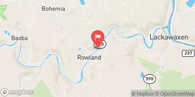
 Delaware River At Barryville Ny
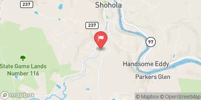
 Shohola Creek Near Shohola
 Neversink River At Oakland Valley Ny
 Zane Grey