
Brigham Lake Dam Reservoir Report
Nearby: Pace Lake Dam Graysons Dam
Last Updated: December 5, 2025
Brigham Lake Dam, located in Ouachita, Arkansas, is a privately owned Earth-type dam primarily used for recreation.
°F
°F
mph
Wind
%
Humidity
Summary
Completed in 1966, the dam has a hydraulic height of 10 feet and a structural height of 14 feet, with a length of 2480 feet. The dam has a normal storage capacity of 48 acre-feet and a maximum discharge of 1460 cubic feet per second. Despite its low hazard potential, the dam's condition assessment is currently not rated.
The dam, situated on Gum Creek-TR, is managed by the Vicksburg District of the US Army Corps of Engineers. It offers a surface area of 12.8 acres and serves as a popular spot for outdoor activities. While the dam has not been inspected recently, it remains a key feature in the local landscape, providing opportunities for water resource and climate enthusiasts to explore and appreciate the intersection of human infrastructure and natural ecosystems in the area. With its modest storage capacity and recreational focus, Brigham Lake Dam represents a harmonious blend of function and leisure in the heart of Arkansas.
Year Completed |
1966 |
Dam Length |
2480 |
River Or Stream |
GUM CREEK-TR |
Primary Dam Type |
Earth |
Surface Area |
12.8 |
Hydraulic Height |
10 |
Drainage Area |
0.24 |
Nid Storage |
106 |
Structural Height |
14 |
Hazard Potential |
Low |
Nid Height |
14 |
Seasonal Comparison
Weather Forecast
Nearby Streamflow Levels
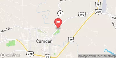 Ouachita River At Camden
|
3820cfs |
 Smackover Creek Near Smackover
|
109cfs |
 Bayou Dorcheat Near Springhill
|
205cfs |
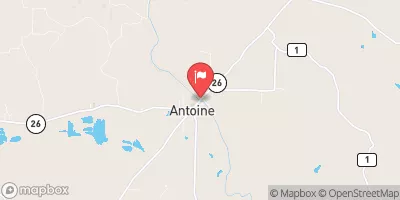 Antoine River At Antoine
|
97cfs |
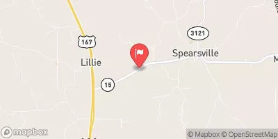 Little Corney Bayou Near Lillie
|
358cfs |
 Moro Creek Near Fordyce
|
1580cfs |
Dam Data Reference
Condition Assessment
SatisfactoryNo existing or potential dam safety deficiencies are recognized. Acceptable performance is expected under all loading conditions (static, hydrologic, seismic) in accordance with the minimum applicable state or federal regulatory criteria or tolerable risk guidelines.
Fair
No existing dam safety deficiencies are recognized for normal operating conditions. Rare or extreme hydrologic and/or seismic events may result in a dam safety deficiency. Risk may be in the range to take further action. Note: Rare or extreme event is defined by the regulatory agency based on their minimum
Poor A dam safety deficiency is recognized for normal operating conditions which may realistically occur. Remedial action is necessary. POOR may also be used when uncertainties exist as to critical analysis parameters which identify a potential dam safety deficiency. Investigations and studies are necessary.
Unsatisfactory
A dam safety deficiency is recognized that requires immediate or emergency remedial action for problem resolution.
Not Rated
The dam has not been inspected, is not under state or federal jurisdiction, or has been inspected but, for whatever reason, has not been rated.
Not Available
Dams for which the condition assessment is restricted to approved government users.
Hazard Potential Classification
HighDams assigned the high hazard potential classification are those where failure or mis-operation will probably cause loss of human life.
Significant
Dams assigned the significant hazard potential classification are those dams where failure or mis-operation results in no probable loss of human life but can cause economic loss, environment damage, disruption of lifeline facilities, or impact other concerns. Significant hazard potential classification dams are often located in predominantly rural or agricultural areas but could be in areas with population and significant infrastructure.
Low
Dams assigned the low hazard potential classification are those where failure or mis-operation results in no probable loss of human life and low economic and/or environmental losses. Losses are principally limited to the owner's property.
Undetermined
Dams for which a downstream hazard potential has not been designated or is not provided.
Not Available
Dams for which the downstream hazard potential is restricted to approved government users.
 Brigham Lake Dam