
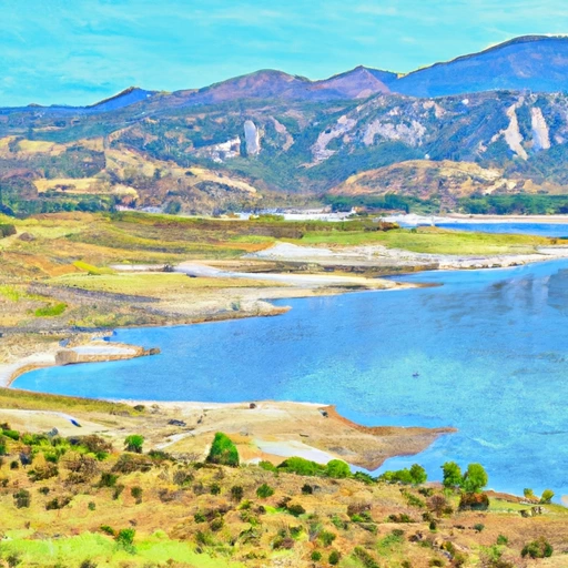
Lake Mathews Reservoir Report
Nearby: Harrison Street Mockingbird Canyon
Last Updated: December 5, 2025
Lake Mathews is a reservoir located in Riverside County, California.
°F
°F
mph
Wind
%
Humidity
Summary
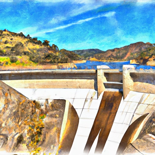
It was first created in 1939 and serves as a crucial source of water for over 1 million people in Southern California. The lake has a storage capacity of over 182,000 acre-feet and receives water from the Colorado River and snowpack melt from the San Bernardino and San Gabriel Mountains. The lake is also fed by several smaller streams and springs, including Temescal Creek and Cajalco Creek. Lake Mathews is an essential water source for local agriculture and is used for irrigation purposes. Additionally, the lake offers recreational opportunities such as fishing, boating, and camping. It is also home to a variety of wildlife, including bald eagles and bobcats.
Reservoir Details
| Storage 24hr Change | -0.27% |
| Percent of Normal | 91% |
| Minimum |
84,983.0 acre-ft
2020-12-29 |
| Maximum |
170,617.0 acre-ft
2023-04-22 |
| Average | 139,180 acre-ft |
| Nid_Height | 264 |
| Hydraulic_Height | 250 |
| Drainage_Area | 40 |
| Year_Completed | 1938 |
| Dam_Height | 264 |
| Primary_Dam_Type | Earth |
| Surface_Area | 2750 |
| Hazard_Potential | High |
| Nid_Storage | 182000 |
| River_Or_Stream | Tr Cajalco Creek |
| Dam_Length | 6522 |
Seasonal Comparison
Storage Levels
Pool Elevation Levels
Top Conserv Storage Levels
Inflow Levels
Weather Forecast
Nearby Streamflow Levels
Dam Data Reference
Condition Assessment
SatisfactoryNo existing or potential dam safety deficiencies are recognized. Acceptable performance is expected under all loading conditions (static, hydrologic, seismic) in accordance with the minimum applicable state or federal regulatory criteria or tolerable risk guidelines.
Fair
No existing dam safety deficiencies are recognized for normal operating conditions. Rare or extreme hydrologic and/or seismic events may result in a dam safety deficiency. Risk may be in the range to take further action. Note: Rare or extreme event is defined by the regulatory agency based on their minimum
Poor A dam safety deficiency is recognized for normal operating conditions which may realistically occur. Remedial action is necessary. POOR may also be used when uncertainties exist as to critical analysis parameters which identify a potential dam safety deficiency. Investigations and studies are necessary.
Unsatisfactory
A dam safety deficiency is recognized that requires immediate or emergency remedial action for problem resolution.
Not Rated
The dam has not been inspected, is not under state or federal jurisdiction, or has been inspected but, for whatever reason, has not been rated.
Not Available
Dams for which the condition assessment is restricted to approved government users.
Hazard Potential Classification
HighDams assigned the high hazard potential classification are those where failure or mis-operation will probably cause loss of human life.
Significant
Dams assigned the significant hazard potential classification are those dams where failure or mis-operation results in no probable loss of human life but can cause economic loss, environment damage, disruption of lifeline facilities, or impact other concerns. Significant hazard potential classification dams are often located in predominantly rural or agricultural areas but could be in areas with population and significant infrastructure.
Low
Dams assigned the low hazard potential classification are those where failure or mis-operation results in no probable loss of human life and low economic and/or environmental losses. Losses are principally limited to the owner's property.
Undetermined
Dams for which a downstream hazard potential has not been designated or is not provided.
Not Available
Dams for which the downstream hazard potential is restricted to approved government users.
 Mathews
 Lake Mathews
 Prado Dam
 Eagle Glen Park
 Spyglass Park
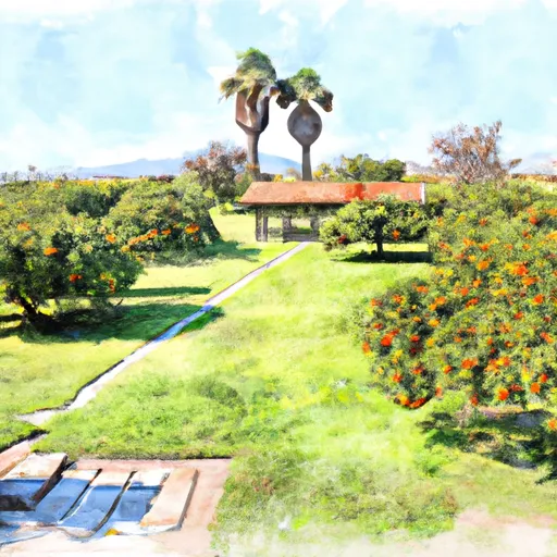 California Citrus State Historic Park
 Rimpau Park
 Chase Neighborhood Park