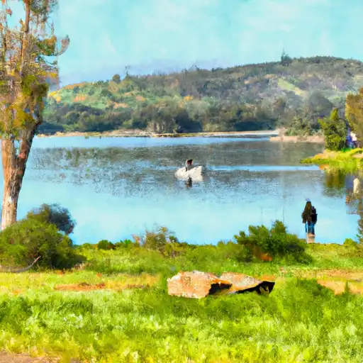
Lake Mathews Reservoir
As of July 20, 2026, Lake Mathews is holding 126,300 acre-ft of water — 86% of normal storage for this date. Storage data refreshed throughout the day.

Lake Mathews
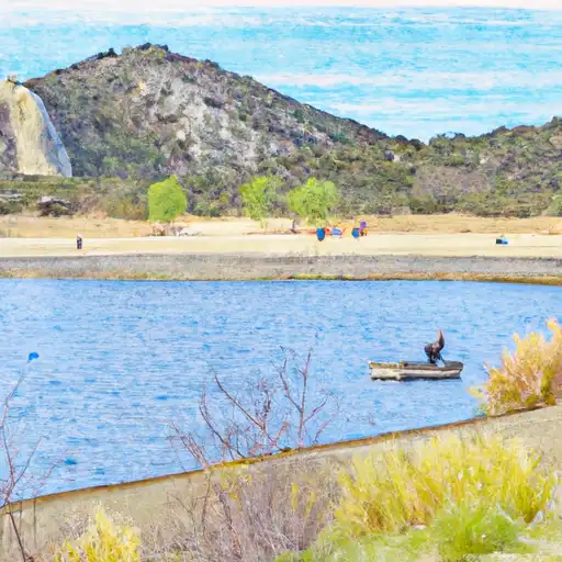
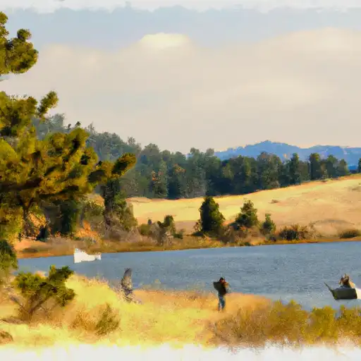
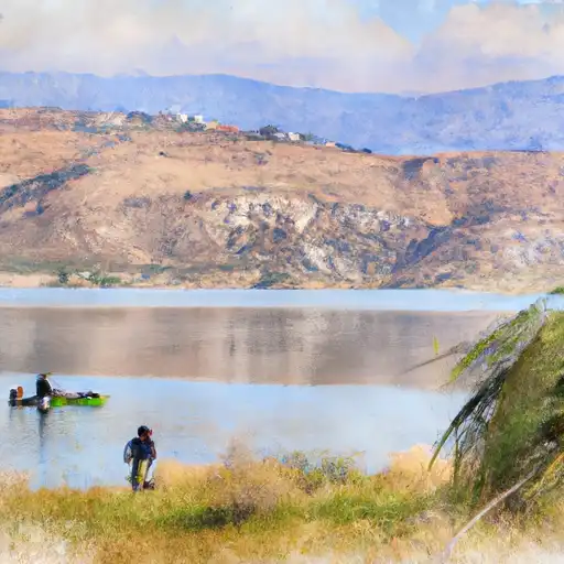
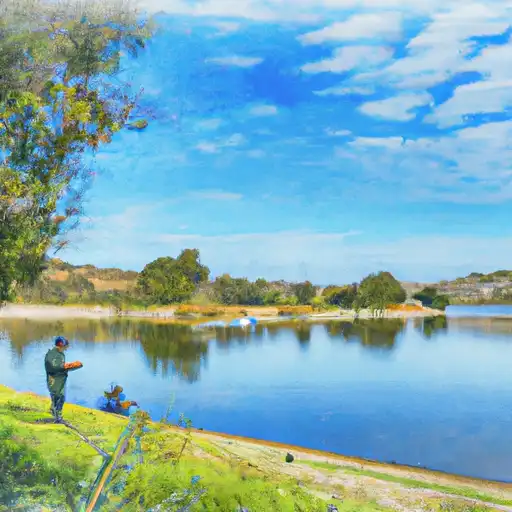
Lake Mathews is a reservoir located in Riverside County, California. It was first created in 1939 and serves as a crucial source of water for over 1 million people in Southern California. The lake has a storage capacity of over 182,000 acre-feet and receives water from the Colorado River and snowpack melt from the San Bernardino and San Gabriel Mountains. The lake is also fed by several smaller streams and springs, including Temescal Creek and Cajalco Creek. Lake Mathews is an essential water source for local agriculture and is used for irrigation purposes. Additionally, the lake offers recreational opportunities such as fishing, boating, and camping. It is also home to a variety of wildlife, including bald eagles and bobcats.
Daily levels at Lake Mathews
Storage volume, pool elevation, and total release plotted from the operating agency's daily observations.
Storage
acre-ft · code 2
Pool Elevation
ft · code 1
Plan around the weather
Same NOAA / yr.no feed Snoflo's iOS app uses. Watch the precipitation column on the meteogram -- rain on the basin upstream typically lifts inflow 24-72 hours later.
Next 5 days, hour by hour
Temperature line with weather symbols on top, snow + rain accumulation as columns, humidity as a dotted line.
5-day forecast table
Every 3 hours, broken out across temperature, snow, rain, humidity, and wind. Each cell is colour-coded relative to the column min/max.
| Time | Condition | Temp (°F) | Snow (in) | Rain (in) | Humidity (%) | Wind (mps) | Wind dir |
|---|---|---|---|---|---|---|---|
| Loading detailed forecast… | |||||||
15-day temperature & precipitation
Daily temperatures, snow, and rain projected over the next two weeks.
Nearby streamflow gauges
USGS streamgauges around Lake Mathews -- inflows here typically show up in storage 24-72 hours later.
| Streamgauge | Discharge | View |
|---|---|---|
| Temescal C A Corona Lk Nr Corona Ca | · | → |
| Temescal C Ab Main St A Corona Ca | 1 cfs | → |
| Santa Ana R Bl Prado Dam Ca | 84 cfs | → |
| Cucamonga C Nr Mira Loma Ca | 46 cfs | → |
| San Jacinto R Nr Sun City Ca | · | → |
| Perris Valley Storm Dr A Nuevo Rd Nr Perris Ca | · | → |


About Lake Mathews
Where does the data for Lake Mathews come from?
Daily storage, pool elevation, and release rates are sourced from USGS, USBR, and USACE monitoring stations. Weather forecast comes from NOAA / yr.no -- the same feed Snoflo's iOS app uses.
How often is the report updated?
Storage observations are updated daily by the operating agency. The 15-day weather forecast refreshes throughout the day. Snoflo caches and renders the most recent observation -- check the "as of" timestamp on the storage card.
What does the Hazard hazard rating mean?
The Corps of Engineers' hazard potential classification grades probable consequences if the dam fails: High = probable loss of human life; Significant = no probable loss of human life but possible economic loss / environmental damage; Low = no probable loss of human life, only minor economic / environmental losses. See the Dam Data Reference card below for the full definitions.
What's "% of normal"?
The current storage value compared to the historical average storage on this calendar day. 100% = right on average; values above 100% mean above-normal storage (wet year); values below mean below-normal (dry year or drought).
Can I get alerts when storage crosses a threshold?
Yes -- alerts are managed in the Snoflo iOS app. Favorite this reservoir, set a threshold, and you'll get a push the moment conditions cross.