


Mccoll Pond Dam Reservoir Report
Last Updated: April 26, 2026
°F
°F
mph
Wind
%
Humidity
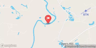
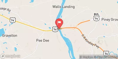
McColl Pond Dam, also known as the City of McColl Dam, is a local government-owned structure located in Marlboro, South Carolina.
Summary
Completed in 1969, this earth dam stands at a height of 13 feet and has a length of 2212 feet, creating a reservoir with a storage capacity of 132 acre-feet. The primary purpose of the dam is listed as "Other," serving as a crucial water resource for the area.
Managed by the South Carolina Department of Health and Environmental Control (SC DHEC), McColl Pond Dam is regulated, permitted, inspected, and enforced by the state. Despite being classified as having a low hazard potential, the dam's condition is assessed as fair, with the last inspection conducted in November 2017. With a surface area of 10 acres and a normal storage capacity of 107 acre-feet, the dam plays a vital role in managing water resources and climate dynamics in the region.
While McColl Pond Dam does not have a designated spillway or outlet gates, its operational and safety protocols are in place to ensure the community's safety. The dam is situated on Panther Creek Offstream and is a significant infrastructure asset for the local area. With its fair condition assessment and low hazard potential, McColl Pond Dam continues to serve as a crucial water management facility within the South Carolina landscape, contributing to the region's water security and climate resilience efforts.
Regional Streamflow Levels
 Big Shoe Heel Creek Nr Laurinburg
|
21cfs |
 Lumber River Near Maxton
|
97cfs |
 Pee Dee River Nr Bennettsville
|
2610cfs |
 Pee Dee R Nr Rockingham
|
2520cfs |
 Drowning Creek Near Hoffman
|
21cfs |
 Rockfish Creek At Raeford
|
37cfs |
15-Day Long Term Forecast
Year Completed |
1969 |
Dam Length |
2212 |
Dam Height |
13 |
River Or Stream |
PANTHER CREEK OFFSTREAM |
Primary Dam Type |
Earth |
Surface Area |
10 |
Nid Storage |
132 |
Hazard Potential |
Low |
Foundations |
Unlisted/Unknown |
Nid Height |
13 |
Seasonal Comparison
5-Day Hourly Forecast Detail
Dam Data Reference
Condition Assessment
SatisfactoryNo existing or potential dam safety deficiencies are recognized. Acceptable performance is expected under all loading conditions (static, hydrologic, seismic) in accordance with the minimum applicable state or federal regulatory criteria or tolerable risk guidelines.
Fair
No existing dam safety deficiencies are recognized for normal operating conditions. Rare or extreme hydrologic and/or seismic events may result in a dam safety deficiency. Risk may be in the range to take further action. Note: Rare or extreme event is defined by the regulatory agency based on their minimum
Poor A dam safety deficiency is recognized for normal operating conditions which may realistically occur. Remedial action is necessary. POOR may also be used when uncertainties exist as to critical analysis parameters which identify a potential dam safety deficiency. Investigations and studies are necessary.
Unsatisfactory
A dam safety deficiency is recognized that requires immediate or emergency remedial action for problem resolution.
Not Rated
The dam has not been inspected, is not under state or federal jurisdiction, or has been inspected but, for whatever reason, has not been rated.
Not Available
Dams for which the condition assessment is restricted to approved government users.
Hazard Potential Classification
HighDams assigned the high hazard potential classification are those where failure or mis-operation will probably cause loss of human life.
Significant
Dams assigned the significant hazard potential classification are those dams where failure or mis-operation results in no probable loss of human life but can cause economic loss, environment damage, disruption of lifeline facilities, or impact other concerns. Significant hazard potential classification dams are often located in predominantly rural or agricultural areas but could be in areas with population and significant infrastructure.
Low
Dams assigned the low hazard potential classification are those where failure or mis-operation results in no probable loss of human life and low economic and/or environmental losses. Losses are principally limited to the owner's property.
Undetermined
Dams for which a downstream hazard potential has not been designated or is not provided.
Not Available
Dams for which the downstream hazard potential is restricted to approved government users.