


Adame Dam Reservoir Report
Last Updated: April 27, 2026
Nearby: Janice Dam Ararat River Dam #64
°F
°F
mph
Wind
%
Humidity
Adame Dam, located in Patrick, Virginia, is a private earth dam with a height of 30.5 feet and a storage capacity of 39.53 acre-feet.
Summary
Managed by the Department of Conservation and Recreation, the dam is regulated by the state of Virginia and undergoes regular inspections to ensure its safety and integrity. While the hazard potential of the dam is currently listed as "undetermined" and its condition has not been rated, its emergency action plan status and risk assessment measures are not specified.
Owned and operated by a private entity, Adame Dam serves a crucial role in water resource management in the region. With a primary purpose that is not specified in the available data, the dam's construction details indicate a hydraulic height matching its structural height. Situated within the jurisdiction of the Huntington District, the dam's capacity to store water and its surface area of 2 acres contribute to the local watershed's resilience in managing fluctuations in water availability and mitigating the impacts of extreme weather events.
As a key feature in the local water infrastructure, Adame Dam plays a significant role in supporting the conservation and regulation efforts of the state of Virginia. The dam's association with other structures, such as spillways or outlet gates, is not specified, but its importance in water management is underscored by its regular inspections and state-regulated status. With the potential to impact the surrounding community in case of emergencies, continued monitoring and assessment of Adame Dam are crucial in ensuring the safety and sustainability of water resources in the region.
Regional Streamflow Levels
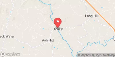 Ararat River At Ararat
|
161cfs |
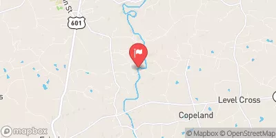 Fisher River Near Copeland
|
177cfs |
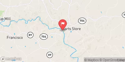 Dan River Near Francisco
|
78cfs |
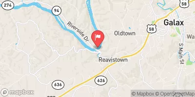
 Chestnut Creek At Galax
|
31cfs |
 New River Near Galax
|
944cfs |
 Mitchell River Near State Road
|
57cfs |
15-Day Long Term Forecast
Dam Length |
250 |
Dam Height |
30.5 |
Primary Dam Type |
Earth |
Surface Area |
2 |
Hydraulic Height |
30.5 |
Nid Storage |
39.53 |
Structural Height |
30.5 |
Hazard Potential |
Undetermined |
Nid Height |
31 |
Seasonal Comparison
5-Day Hourly Forecast Detail
Dam Data Reference
Condition Assessment
SatisfactoryNo existing or potential dam safety deficiencies are recognized. Acceptable performance is expected under all loading conditions (static, hydrologic, seismic) in accordance with the minimum applicable state or federal regulatory criteria or tolerable risk guidelines.
Fair
No existing dam safety deficiencies are recognized for normal operating conditions. Rare or extreme hydrologic and/or seismic events may result in a dam safety deficiency. Risk may be in the range to take further action. Note: Rare or extreme event is defined by the regulatory agency based on their minimum
Poor A dam safety deficiency is recognized for normal operating conditions which may realistically occur. Remedial action is necessary. POOR may also be used when uncertainties exist as to critical analysis parameters which identify a potential dam safety deficiency. Investigations and studies are necessary.
Unsatisfactory
A dam safety deficiency is recognized that requires immediate or emergency remedial action for problem resolution.
Not Rated
The dam has not been inspected, is not under state or federal jurisdiction, or has been inspected but, for whatever reason, has not been rated.
Not Available
Dams for which the condition assessment is restricted to approved government users.
Hazard Potential Classification
HighDams assigned the high hazard potential classification are those where failure or mis-operation will probably cause loss of human life.
Significant
Dams assigned the significant hazard potential classification are those dams where failure or mis-operation results in no probable loss of human life but can cause economic loss, environment damage, disruption of lifeline facilities, or impact other concerns. Significant hazard potential classification dams are often located in predominantly rural or agricultural areas but could be in areas with population and significant infrastructure.
Low
Dams assigned the low hazard potential classification are those where failure or mis-operation results in no probable loss of human life and low economic and/or environmental losses. Losses are principally limited to the owner's property.
Undetermined
Dams for which a downstream hazard potential has not been designated or is not provided.
Not Available
Dams for which the downstream hazard potential is restricted to approved government users.