Dry Lake Near Penn Reservoir Report
Nearby: Acorn Ridge West Chain Lake Dam
Last Updated: February 3, 2026
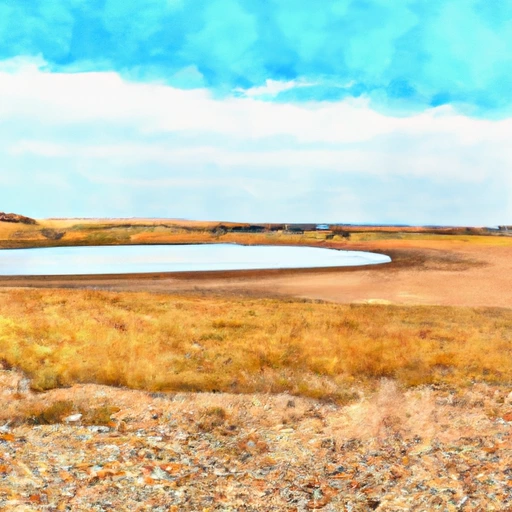
Dry Lake near Penn, ND is a natural body of water that is known for its unique history and hydrology.
°F
°F
mph
Wind
%
Humidity
15-Day Weather Outlook
Summary
The lake was formed during the last Ice Age and has evolved over time due to changes in climate and geology. The hydrology of the lake is complex and involves specific surface flows from surrounding areas and snowpack providers. The lake has played an important role in the agricultural history of the region and is now used for recreational purposes such as fishing and boating. Despite being a dry lake, it is an important source of water for the surrounding area and is home to a variety of plant and animal species.
Reservoir Details
| Gage Height, Ft 24hr Change | -0.04% |
| Percent of Normal | 99% |
| Minimum |
46.49 ft
2008-09-01 |
| Maximum |
54.68 ft
2011-09-21 |
| Average | 50 ft |
Seasonal Comparison
Gage Height, Ft Levels
Hourly Weather Forecast
Nearby Streamflow Levels
Dam Data Reference
Condition Assessment
SatisfactoryNo existing or potential dam safety deficiencies are recognized. Acceptable performance is expected under all loading conditions (static, hydrologic, seismic) in accordance with the minimum applicable state or federal regulatory criteria or tolerable risk guidelines.
Fair
No existing dam safety deficiencies are recognized for normal operating conditions. Rare or extreme hydrologic and/or seismic events may result in a dam safety deficiency. Risk may be in the range to take further action. Note: Rare or extreme event is defined by the regulatory agency based on their minimum
Poor A dam safety deficiency is recognized for normal operating conditions which may realistically occur. Remedial action is necessary. POOR may also be used when uncertainties exist as to critical analysis parameters which identify a potential dam safety deficiency. Investigations and studies are necessary.
Unsatisfactory
A dam safety deficiency is recognized that requires immediate or emergency remedial action for problem resolution.
Not Rated
The dam has not been inspected, is not under state or federal jurisdiction, or has been inspected but, for whatever reason, has not been rated.
Not Available
Dams for which the condition assessment is restricted to approved government users.
Hazard Potential Classification
HighDams assigned the high hazard potential classification are those where failure or mis-operation will probably cause loss of human life.
Significant
Dams assigned the significant hazard potential classification are those dams where failure or mis-operation results in no probable loss of human life but can cause economic loss, environment damage, disruption of lifeline facilities, or impact other concerns. Significant hazard potential classification dams are often located in predominantly rural or agricultural areas but could be in areas with population and significant infrastructure.
Low
Dams assigned the low hazard potential classification are those where failure or mis-operation results in no probable loss of human life and low economic and/or environmental losses. Losses are principally limited to the owner's property.
Undetermined
Dams for which a downstream hazard potential has not been designated or is not provided.
Not Available
Dams for which the downstream hazard potential is restricted to approved government users.

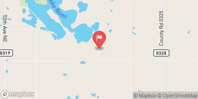

 Adahl-Jones Project
 Dry Lake Near Penn
 Devils Lake Nr Devils Lake
 74th Avenue Northeast 4808, Ramsey County