


Flecher Reservoir Reservoir Report
Last Updated: April 15, 2026
Nearby: Nordell Dam Lars Borg
°F
°F
mph
Wind
%
Humidity
Flecher Reservoir, located in Richland County, Montana, was completed in 1967 with a primary purpose of providing fire protection, stock watering, and serving as a small fish pond.
Summary
The reservoir, with a dam height of 20 feet and a length of 400 feet, has a storage capacity of 65 acre-feet and a drainage area of 2.39 square miles. Situated on the TR-Missouri River, Flecher Reservoir is owned and regulated by a private entity but falls under the jurisdiction of the Montana Department of Natural Resources and Conservation (DNRC).
With a low hazard potential and a moderate risk assessment, Flecher Reservoir serves as an essential water resource for the local community. The reservoir's uncontrolled spillway, with a width of 24 feet, can handle a maximum discharge of 5,809 cubic feet per second. Despite not being rated for its condition assessment, Flecher Reservoir continues to play a crucial role in water management for the region. While there are no associated structures or outlet gates, the reservoir remains a vital asset for ensuring water security and environmental sustainability in the area.
As climate change continues to impact water resources, the maintenance and monitoring of Flecher Reservoir will be essential to ensure its long-term functionality and resilience. With state-regulated inspections and enforcement in place, the reservoir's role in providing water for fire protection, livestock, and fish pond purposes underscores its importance in the local ecosystem. As water enthusiasts and climate advocates, understanding and appreciating the value of Flecher Reservoir is crucial for promoting sustainable water management practices and safeguarding this critical resource for future generations.
Regional Streamflow Levels
15-Day Long Term Forecast
Year Completed |
1967 |
Dam Length |
400 |
Dam Height |
20 |
River Or Stream |
TR-MISSOURI RIVER |
Primary Dam Type |
Earth |
Hydraulic Height |
20 |
Drainage Area |
2.39 |
Nid Storage |
65 |
Hazard Potential |
Low |
Nid Height |
20 |
Seasonal Comparison
5-Day Hourly Forecast Detail
Dam Data Reference
Condition Assessment
SatisfactoryNo existing or potential dam safety deficiencies are recognized. Acceptable performance is expected under all loading conditions (static, hydrologic, seismic) in accordance with the minimum applicable state or federal regulatory criteria or tolerable risk guidelines.
Fair
No existing dam safety deficiencies are recognized for normal operating conditions. Rare or extreme hydrologic and/or seismic events may result in a dam safety deficiency. Risk may be in the range to take further action. Note: Rare or extreme event is defined by the regulatory agency based on their minimum
Poor A dam safety deficiency is recognized for normal operating conditions which may realistically occur. Remedial action is necessary. POOR may also be used when uncertainties exist as to critical analysis parameters which identify a potential dam safety deficiency. Investigations and studies are necessary.
Unsatisfactory
A dam safety deficiency is recognized that requires immediate or emergency remedial action for problem resolution.
Not Rated
The dam has not been inspected, is not under state or federal jurisdiction, or has been inspected but, for whatever reason, has not been rated.
Not Available
Dams for which the condition assessment is restricted to approved government users.
Hazard Potential Classification
HighDams assigned the high hazard potential classification are those where failure or mis-operation will probably cause loss of human life.
Significant
Dams assigned the significant hazard potential classification are those dams where failure or mis-operation results in no probable loss of human life but can cause economic loss, environment damage, disruption of lifeline facilities, or impact other concerns. Significant hazard potential classification dams are often located in predominantly rural or agricultural areas but could be in areas with population and significant infrastructure.
Low
Dams assigned the low hazard potential classification are those where failure or mis-operation results in no probable loss of human life and low economic and/or environmental losses. Losses are principally limited to the owner's property.
Undetermined
Dams for which a downstream hazard potential has not been designated or is not provided.
Not Available
Dams for which the downstream hazard potential is restricted to approved government users.
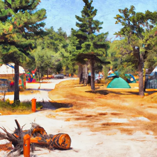
Area Campgrounds
| Location | Reservations | Toilets |
|---|---|---|
 Snowden Bridge FAS
|
||
 Fort Buford State Historic Site
|
||
 Confluence Access
|
||
 Sharbano City Park
|
||
 Sundheim Park
|