


Burgess Reservoir (Richland) Reservoir Report
Last Updated: April 15, 2026
Nearby: Flecher Reservoir Nordell Dam
°F
°F
mph
Wind
%
Humidity
Burgess Reservoir in Richland, Montana is a privately owned earth dam that was completed in 1949 for irrigation purposes on Grant Creek.
Summary
With a dam height of 32 feet and a storage capacity of 74 acre-feet, the reservoir serves as a vital water resource for the surrounding area. Despite its low hazard potential, the condition assessment of Burgess Reservoir is currently not rated, indicating a need for further evaluation and maintenance.
Located in Congressional District 00, Montana, Burgess Reservoir is under state jurisdiction and regulated by the Department of Natural Resources and Conservation (DNRC). The reservoir's primary purpose of irrigation highlights its role in supporting agricultural activities in the region. With a normal storage capacity of 45 acre-feet, Burgess Reservoir plays a key role in water management and distribution for the local community.
Although the reservoir has not been rated for condition assessment and lacks certain emergency preparedness measures, such as an Emergency Action Plan (EAP) and updated inundation maps, Burgess Reservoir continues to provide essential water resources for irrigation. As a valuable water source in Richland County, Montana, Burgess Reservoir's maintenance and regulatory oversight are crucial for ensuring its continued functionality and resilience in the face of changing climate conditions.
Regional Streamflow Levels
15-Day Long Term Forecast
Year Completed |
1949 |
Dam Length |
195 |
Dam Height |
32 |
River Or Stream |
GRANT CREEK |
Primary Dam Type |
Earth |
Hydraulic Height |
32 |
Nid Storage |
74 |
Hazard Potential |
Low |
Nid Height |
32 |
Seasonal Comparison
5-Day Hourly Forecast Detail
Dam Data Reference
Condition Assessment
SatisfactoryNo existing or potential dam safety deficiencies are recognized. Acceptable performance is expected under all loading conditions (static, hydrologic, seismic) in accordance with the minimum applicable state or federal regulatory criteria or tolerable risk guidelines.
Fair
No existing dam safety deficiencies are recognized for normal operating conditions. Rare or extreme hydrologic and/or seismic events may result in a dam safety deficiency. Risk may be in the range to take further action. Note: Rare or extreme event is defined by the regulatory agency based on their minimum
Poor A dam safety deficiency is recognized for normal operating conditions which may realistically occur. Remedial action is necessary. POOR may also be used when uncertainties exist as to critical analysis parameters which identify a potential dam safety deficiency. Investigations and studies are necessary.
Unsatisfactory
A dam safety deficiency is recognized that requires immediate or emergency remedial action for problem resolution.
Not Rated
The dam has not been inspected, is not under state or federal jurisdiction, or has been inspected but, for whatever reason, has not been rated.
Not Available
Dams for which the condition assessment is restricted to approved government users.
Hazard Potential Classification
HighDams assigned the high hazard potential classification are those where failure or mis-operation will probably cause loss of human life.
Significant
Dams assigned the significant hazard potential classification are those dams where failure or mis-operation results in no probable loss of human life but can cause economic loss, environment damage, disruption of lifeline facilities, or impact other concerns. Significant hazard potential classification dams are often located in predominantly rural or agricultural areas but could be in areas with population and significant infrastructure.
Low
Dams assigned the low hazard potential classification are those where failure or mis-operation results in no probable loss of human life and low economic and/or environmental losses. Losses are principally limited to the owner's property.
Undetermined
Dams for which a downstream hazard potential has not been designated or is not provided.
Not Available
Dams for which the downstream hazard potential is restricted to approved government users.
Area Campgrounds
| Location | Reservations | Toilets |
|---|---|---|
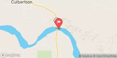
 Snowden Bridge FAS
|
||
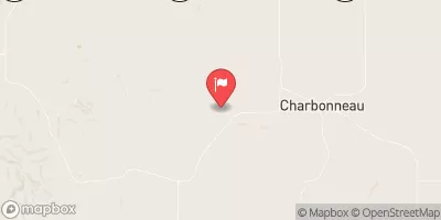
 Fort Buford State Historic Site
|
||
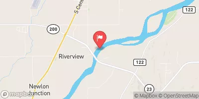
 Confluence Access
|
||
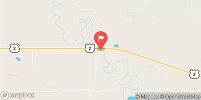
 Sharbano City Park
|