


Summary
Completed in 1959, this Earth dam boasts a height of 21 feet and a length of 600 feet, providing a storage capacity of 79 acre-feet. The dam is regulated by the DNRC, ensuring state oversight and enforcement for its operations and maintenance.
Situated on TR-FOURMILE CREEK, the La Bonte dam plays a vital role in managing water flow and storage in the area, with a low hazard potential and a current condition assessment of "Not Rated". Despite lacking specific hazard and risk assessment data, the dam serves its primary purpose effectively, supported by state permitting, inspection, and enforcement measures. With a primary owner of Private ownership type, the dam remains a reliable water management structure in the region, contributing to the overall climate resilience and water resource sustainability.
As water resource and climate enthusiasts, the La Bonte dam presents an intriguing case study of a well-maintained Earth dam designed by the USDA NRCS. With a storage capacity of 79 acre-feet and a low hazard potential, this structure stands as a testament to effective state regulation and oversight. While lacking specific risk assessment data, the dam continues to serve its purpose, demonstrating the importance of reliable infrastructure in water resource management and climate adaptation efforts.
Regional Streamflow Levels
15-Day Long Term Forecast
Year Completed |
1959 |
Dam Length |
600 |
Dam Height |
21 |
River Or Stream |
TR-FOURMILE CREEK |
Primary Dam Type |
Earth |
Hydraulic Height |
21 |
Nid Storage |
79 |
Hazard Potential |
Low |
Nid Height |
21 |
Seasonal Comparison
5-Day Hourly Forecast Detail
Dam Data Reference
Condition Assessment
SatisfactoryNo existing or potential dam safety deficiencies are recognized. Acceptable performance is expected under all loading conditions (static, hydrologic, seismic) in accordance with the minimum applicable state or federal regulatory criteria or tolerable risk guidelines.
Fair
No existing dam safety deficiencies are recognized for normal operating conditions. Rare or extreme hydrologic and/or seismic events may result in a dam safety deficiency. Risk may be in the range to take further action. Note: Rare or extreme event is defined by the regulatory agency based on their minimum
Poor A dam safety deficiency is recognized for normal operating conditions which may realistically occur. Remedial action is necessary. POOR may also be used when uncertainties exist as to critical analysis parameters which identify a potential dam safety deficiency. Investigations and studies are necessary.
Unsatisfactory
A dam safety deficiency is recognized that requires immediate or emergency remedial action for problem resolution.
Not Rated
The dam has not been inspected, is not under state or federal jurisdiction, or has been inspected but, for whatever reason, has not been rated.
Not Available
Dams for which the condition assessment is restricted to approved government users.
Hazard Potential Classification
HighDams assigned the high hazard potential classification are those where failure or mis-operation will probably cause loss of human life.
Significant
Dams assigned the significant hazard potential classification are those dams where failure or mis-operation results in no probable loss of human life but can cause economic loss, environment damage, disruption of lifeline facilities, or impact other concerns. Significant hazard potential classification dams are often located in predominantly rural or agricultural areas but could be in areas with population and significant infrastructure.
Low
Dams assigned the low hazard potential classification are those where failure or mis-operation results in no probable loss of human life and low economic and/or environmental losses. Losses are principally limited to the owner's property.
Undetermined
Dams for which a downstream hazard potential has not been designated or is not provided.
Not Available
Dams for which the downstream hazard potential is restricted to approved government users.
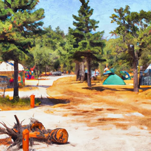
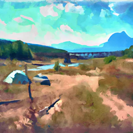
Area Campgrounds
| Location | Reservations | Toilets |
|---|---|---|
 Sharbano City Park
|
||
 Snowden Bridge FAS
|
||
 Sundheim Park
|
||
 Fort Buford State Historic Site
|
||
 Confluence Access
|