


Panasuk Dam Reservoir Report
Last Updated: April 15, 2026
Nearby: Shields Fields Iranian
°F
°F
mph
Wind
%
Humidity
Panasuk Dam, located in Roosevelt County, Montana, is a state-owned structure designed for flood risk reduction along the TR-Little Muddy river.
Summary
Standing at a height of 56.8 feet, the dam serves multiple purposes including flood risk reduction, hydroelectric power generation, irrigation, navigation, and recreation. With a storage capacity of 1259 acre-feet, the dam plays a crucial role in managing water resources in the region.
Although the dam's hazard potential is categorized as significant, its risk assessment is moderate, indicating a balance between the benefits it provides and potential risks. The dam is state-regulated by the Department of Natural Resources and Conservation (DNRC) and undergoes regular inspections to ensure its structural integrity and safety. While the condition assessment is currently not rated, the dam continues to fulfill its primary purpose of mitigating flood risks for the surrounding area.
As a key infrastructure in the area, Panasuk Dam exemplifies the importance of water resource management in mitigating natural disasters and supporting various sectors like agriculture, energy, and recreation. With its strategic location and multiple functions, the dam plays a vital role in enhancing the resilience of the local community and ecosystem to changing climate patterns and water-related challenges.
Regional Streamflow Levels
15-Day Long Term Forecast
Dam Height |
56.8 |
River Or Stream |
TR-LITTLE MUDDY |
Primary Dam Type |
Earth |
Hydraulic Height |
22.9 |
Nid Storage |
1259 |
Hazard Potential |
Significant |
Nid Height |
57 |
Seasonal Comparison
5-Day Hourly Forecast Detail
Dam Data Reference
Condition Assessment
SatisfactoryNo existing or potential dam safety deficiencies are recognized. Acceptable performance is expected under all loading conditions (static, hydrologic, seismic) in accordance with the minimum applicable state or federal regulatory criteria or tolerable risk guidelines.
Fair
No existing dam safety deficiencies are recognized for normal operating conditions. Rare or extreme hydrologic and/or seismic events may result in a dam safety deficiency. Risk may be in the range to take further action. Note: Rare or extreme event is defined by the regulatory agency based on their minimum
Poor A dam safety deficiency is recognized for normal operating conditions which may realistically occur. Remedial action is necessary. POOR may also be used when uncertainties exist as to critical analysis parameters which identify a potential dam safety deficiency. Investigations and studies are necessary.
Unsatisfactory
A dam safety deficiency is recognized that requires immediate or emergency remedial action for problem resolution.
Not Rated
The dam has not been inspected, is not under state or federal jurisdiction, or has been inspected but, for whatever reason, has not been rated.
Not Available
Dams for which the condition assessment is restricted to approved government users.
Hazard Potential Classification
HighDams assigned the high hazard potential classification are those where failure or mis-operation will probably cause loss of human life.
Significant
Dams assigned the significant hazard potential classification are those dams where failure or mis-operation results in no probable loss of human life but can cause economic loss, environment damage, disruption of lifeline facilities, or impact other concerns. Significant hazard potential classification dams are often located in predominantly rural or agricultural areas but could be in areas with population and significant infrastructure.
Low
Dams assigned the low hazard potential classification are those where failure or mis-operation results in no probable loss of human life and low economic and/or environmental losses. Losses are principally limited to the owner's property.
Undetermined
Dams for which a downstream hazard potential has not been designated or is not provided.
Not Available
Dams for which the downstream hazard potential is restricted to approved government users.
Area Campgrounds
| Location | Reservations | Toilets |
|---|---|---|
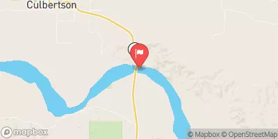
 Snowden Bridge FAS
|
||
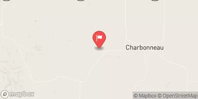
 Fort Buford State Historic Site
|
||
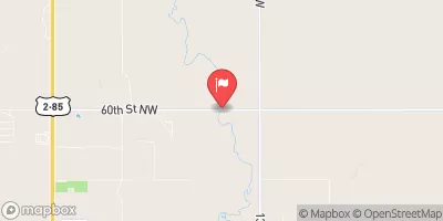
 Confluence Access
|
||
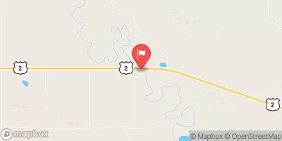
 Trenton Lake Rec Area
|