


Oahe Dam - Fort Yates Flood Protection Project Reservoir Report
Last Updated: April 28, 2026
Nearby: Stone Man Dam Fred Hertel
°F
°F
mph
Wind
%
Humidity
The Oahe Dam - Fort Yates Flood Protection Project, also known as Lake Oahe, is a federal project located in South Dakota along the Missouri River.
Summary
Completed in 1966, this earth dam stands at a structural height of 245 feet and has a hydraulic height of 200 feet. The dam's primary purpose is flood risk reduction, but it also serves for hydroelectric power generation, irrigation, navigation, and recreation. With a storage capacity of 23.6 million acre-feet, the dam covers a surface area of 376,000 acres and has a drainage area of 243,490 square miles.
Despite its high hazard potential, the US Army Corps of Engineers (USACE) actively manages the flood risks associated with the Oahe Dam. Through regular inspections, maintenance, and monitoring, USACE ensures the dam's structural integrity and readiness to respond to emergencies. The agency also collaborates with local emergency managers to develop evacuation plans and keep the public informed about potential risks. With a comprehensive risk management strategy in place, the Oahe Dam continues to play a crucial role in protecting the surrounding communities from potential flood events along the Missouri River.
Regional Streamflow Levels
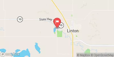 Beaver Creek Bl Linton
|
74cfs |
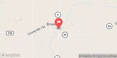 Cannonball River At Breien
|
110cfs |
 Oak Cr Near Wakpala Sd
|
10cfs |
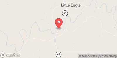 Grand R At Little Eagle Sd
|
76cfs |
 Cedar Creek Nr Raleigh
|
45cfs |
 Cannonball River Nr Raleigh
|
38cfs |
15-Day Long Term Forecast
Year Completed |
1966 |
Dam Length |
9300 |
River Or Stream |
MISSOURI RIVER |
Primary Dam Type |
Earth |
Surface Area |
376000 |
Hydraulic Height |
200 |
Drainage Area |
243490 |
Nid Storage |
23600000 |
Structural Height |
245 |
Hazard Potential |
High |
Nid Height |
245 |
Seasonal Comparison
5-Day Hourly Forecast Detail
Dam Data Reference
Condition Assessment
SatisfactoryNo existing or potential dam safety deficiencies are recognized. Acceptable performance is expected under all loading conditions (static, hydrologic, seismic) in accordance with the minimum applicable state or federal regulatory criteria or tolerable risk guidelines.
Fair
No existing dam safety deficiencies are recognized for normal operating conditions. Rare or extreme hydrologic and/or seismic events may result in a dam safety deficiency. Risk may be in the range to take further action. Note: Rare or extreme event is defined by the regulatory agency based on their minimum
Poor A dam safety deficiency is recognized for normal operating conditions which may realistically occur. Remedial action is necessary. POOR may also be used when uncertainties exist as to critical analysis parameters which identify a potential dam safety deficiency. Investigations and studies are necessary.
Unsatisfactory
A dam safety deficiency is recognized that requires immediate or emergency remedial action for problem resolution.
Not Rated
The dam has not been inspected, is not under state or federal jurisdiction, or has been inspected but, for whatever reason, has not been rated.
Not Available
Dams for which the condition assessment is restricted to approved government users.
Hazard Potential Classification
HighDams assigned the high hazard potential classification are those where failure or mis-operation will probably cause loss of human life.
Significant
Dams assigned the significant hazard potential classification are those dams where failure or mis-operation results in no probable loss of human life but can cause economic loss, environment damage, disruption of lifeline facilities, or impact other concerns. Significant hazard potential classification dams are often located in predominantly rural or agricultural areas but could be in areas with population and significant infrastructure.
Low
Dams assigned the low hazard potential classification are those where failure or mis-operation results in no probable loss of human life and low economic and/or environmental losses. Losses are principally limited to the owner's property.
Undetermined
Dams for which a downstream hazard potential has not been designated or is not provided.
Not Available
Dams for which the downstream hazard potential is restricted to approved government users.
Area Campgrounds
| Location | Reservations | Toilets |
|---|---|---|
 Cattail Bay
|
||
 Langeliers Bay
|
||
 Beaver Creek - Lake Oahe
|
 Proposal Avenue Sioux County