
Weather Today
°F
°F
mph
Wind
%
Humidity
Weather Forecast
Miner Pond Dam, located in Portage County, Ohio, along the West Branch Mahoning River, was completed in 1967 for the primary purpose of recreation. This privately owned Earth dam stands at a height of 23.6 feet, with a storage capacity of 45.1 acre-feet and a surface area of 5.4 acres. Despite its recreational significance, the dam has been flagged with a "Significant" hazard potential and a "Poor" condition assessment, indicating a need for maintenance and potential safety concerns.
The Department of Natural Resources in Ohio regulates Miner Pond Dam, ensuring that state permitting, inspection, and enforcement protocols are followed. The dam has not undergone any significant modifications in recent years, with its last inspection taking place in April 2016. With a maximum discharge capacity of 64 cubic feet per second, the dam plays a crucial role in managing water resources and protecting the surrounding area from potential flooding events.
As water resource and climate enthusiasts monitor the status of Miner Pond Dam, there is a growing awareness of the need for comprehensive risk management measures and emergency preparedness protocols. With its proximity to the West Branch Mahoning River and the potential impact of a breach on the local community, stakeholders are encouraged to prioritize the maintenance and safety of this essential infrastructure to ensure its long-term sustainability.
| Year_Completed | 1967 |
| Dam_Length | 685 |
| Dam_Height | 23.6 |
| River_Or_Stream | WEST BRANCH MAHONING RIVER |
| Primary_Dam_Type | Earth |
| Surface_Area | 5.4 |
| Drainage_Area | 0.18 |
| Nid_Storage | 45.1 |
| Hazard_Potential | Significant |
| Nid_Height | 24 |


Seasonal Comparison
Hourly Forecast Details
Area Campgrounds
| Location | Reservations | Toilets | Showers |
|---|---|---|---|
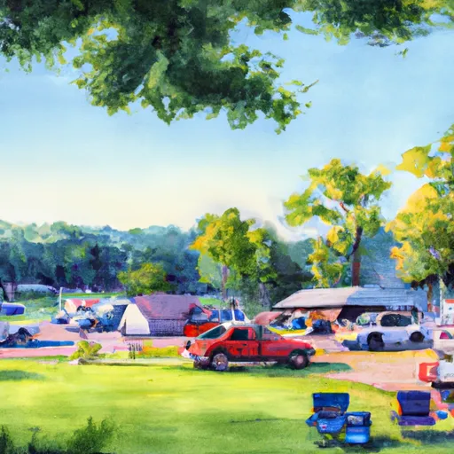 Camp Asbury
|
|||
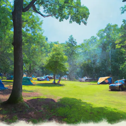 West Branch State Park
|
|||
 Kool Lakes Family Campground
|
 Miner Pond Dam
 Auburn Launch Ramp
 Eagle Creek St Nature Preserve
 DIX Park
 Sunny Lake Park
 Ravenna City Park
 Havre's Woods Park