
Carl Leforce Reservoir Report
Nearby: Oknoname 089002 Oknoname 089006
Last Updated: December 19, 2025
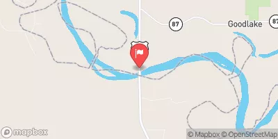
Carl Leforce is a privately owned earth dam located in McCurtain, Oklahoma, designed for flood risk reduction along Rock Creek.
°F
°F
mph
Wind
%
Humidity
Summary
Completed in 1950, this dam stands at 23 feet in height with a hydraulic height of 18 feet, and a length of 480 feet. It has a storage capacity of 212 acre-feet, with a maximum discharge of 2035 cubic feet per second.
Managed by the Oklahoma Water Resources Board, Carl Leforce has a controlled spillway and one valve outlet gate. Despite being classified as low hazard potential, it is considered to have a very high risk assessment due to its location and design. The dam has not been rated for its condition assessment, but inspections are conducted every 5 years to ensure its integrity and effectiveness in flood control measures.
Situated within the Fort Worth District, Carl Leforce serves as a vital infrastructure for the community of Shults, providing protection against potential flooding events. Its historical significance and ongoing role in water resource management make it a noteworthy structure for those interested in climate resilience and flood risk reduction initiatives.
Year Completed |
1950 |
Dam Length |
480 |
Dam Height |
23 |
River Or Stream |
ROCK CREEK |
Primary Dam Type |
Earth |
Hydraulic Height |
18 |
Nid Storage |
212 |
Structural Height |
23 |
Outlet Gates |
Valve - 1 |
Hazard Potential |
Low |
Foundations |
Soil |
Nid Height |
23 |
Seasonal Comparison
Weather Forecast
Nearby Streamflow Levels
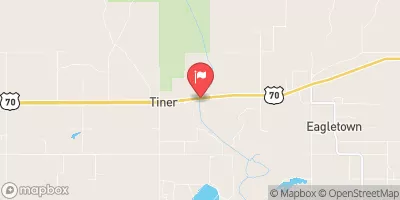 Mountain Fork Near Eagletown
|
555cfs |
 Little River Blw Lukfata Creek
|
177cfs |
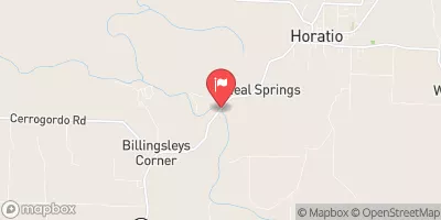 Little River Near Horatio
|
608cfs |
 Glover River Near Glover
|
51cfs |
 Red River Near De Kalb
|
792cfs |
 Saline River Near Lockesburg
|
14cfs |
Dam Data Reference
Condition Assessment
SatisfactoryNo existing or potential dam safety deficiencies are recognized. Acceptable performance is expected under all loading conditions (static, hydrologic, seismic) in accordance with the minimum applicable state or federal regulatory criteria or tolerable risk guidelines.
Fair
No existing dam safety deficiencies are recognized for normal operating conditions. Rare or extreme hydrologic and/or seismic events may result in a dam safety deficiency. Risk may be in the range to take further action. Note: Rare or extreme event is defined by the regulatory agency based on their minimum
Poor A dam safety deficiency is recognized for normal operating conditions which may realistically occur. Remedial action is necessary. POOR may also be used when uncertainties exist as to critical analysis parameters which identify a potential dam safety deficiency. Investigations and studies are necessary.
Unsatisfactory
A dam safety deficiency is recognized that requires immediate or emergency remedial action for problem resolution.
Not Rated
The dam has not been inspected, is not under state or federal jurisdiction, or has been inspected but, for whatever reason, has not been rated.
Not Available
Dams for which the condition assessment is restricted to approved government users.
Hazard Potential Classification
HighDams assigned the high hazard potential classification are those where failure or mis-operation will probably cause loss of human life.
Significant
Dams assigned the significant hazard potential classification are those dams where failure or mis-operation results in no probable loss of human life but can cause economic loss, environment damage, disruption of lifeline facilities, or impact other concerns. Significant hazard potential classification dams are often located in predominantly rural or agricultural areas but could be in areas with population and significant infrastructure.
Low
Dams assigned the low hazard potential classification are those where failure or mis-operation results in no probable loss of human life and low economic and/or environmental losses. Losses are principally limited to the owner's property.
Undetermined
Dams for which a downstream hazard potential has not been designated or is not provided.
Not Available
Dams for which the downstream hazard potential is restricted to approved government users.
 Carl Leforce