
Soap Creek Watershed Site 4-38a Reservoir Report
Last Updated: December 6, 2025
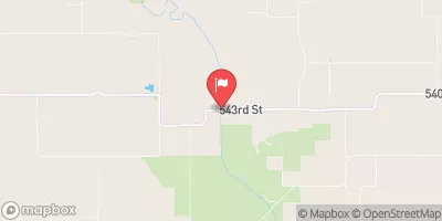
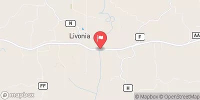
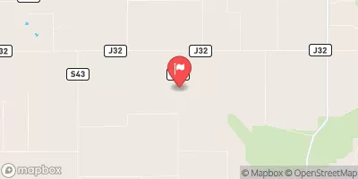
Soap Creek Watershed Site 4-38a, located in Floris, Iowa, is a local government-owned earth dam designed by USDA NRCS for flood risk reduction along Tr- South Soap Creek.
°F
°F
mph
Wind
%
Humidity
Summary
Completed in 2001, this dam stands at 29 feet in height and spans 450 feet in length, with a storage capacity of 122 acre-feet. With a low hazard potential and a moderate risk assessment rating, this dam plays a crucial role in mitigating flood risks in the area.
Managed by the Iowa DNR, this dam is state-regulated, permitted, inspected, and enforced, ensuring its structural integrity and functionality. Despite not being rated for condition assessment, Soap Creek Watershed Site 4-38a continues to serve its primary purpose effectively. With a surface area of 4.5 acres and a drainage area of 0.45 square miles, this dam is equipped with an uncontrolled spillway and has not been modified since its completion.
As an essential infrastructure for flood management in Appanoose County, Iowa, Soap Creek Watershed Site 4-38a remains a vital component in the local water resource and climate resilience efforts. With the support of the Natural Resources Conservation Service and state regulatory agencies, this dam stands as a testament to proactive flood risk reduction measures in the region.
Year Completed |
2001 |
Dam Length |
450 |
Dam Height |
29 |
River Or Stream |
Tr- South Soap Creek |
Primary Dam Type |
Earth |
Surface Area |
4.5 |
Drainage Area |
0.45 |
Nid Storage |
122 |
Hazard Potential |
Low |
Foundations |
Soil |
Nid Height |
29 |
Seasonal Comparison
Weather Forecast
Nearby Streamflow Levels
Dam Data Reference
Condition Assessment
SatisfactoryNo existing or potential dam safety deficiencies are recognized. Acceptable performance is expected under all loading conditions (static, hydrologic, seismic) in accordance with the minimum applicable state or federal regulatory criteria or tolerable risk guidelines.
Fair
No existing dam safety deficiencies are recognized for normal operating conditions. Rare or extreme hydrologic and/or seismic events may result in a dam safety deficiency. Risk may be in the range to take further action. Note: Rare or extreme event is defined by the regulatory agency based on their minimum
Poor A dam safety deficiency is recognized for normal operating conditions which may realistically occur. Remedial action is necessary. POOR may also be used when uncertainties exist as to critical analysis parameters which identify a potential dam safety deficiency. Investigations and studies are necessary.
Unsatisfactory
A dam safety deficiency is recognized that requires immediate or emergency remedial action for problem resolution.
Not Rated
The dam has not been inspected, is not under state or federal jurisdiction, or has been inspected but, for whatever reason, has not been rated.
Not Available
Dams for which the condition assessment is restricted to approved government users.
Hazard Potential Classification
HighDams assigned the high hazard potential classification are those where failure or mis-operation will probably cause loss of human life.
Significant
Dams assigned the significant hazard potential classification are those dams where failure or mis-operation results in no probable loss of human life but can cause economic loss, environment damage, disruption of lifeline facilities, or impact other concerns. Significant hazard potential classification dams are often located in predominantly rural or agricultural areas but could be in areas with population and significant infrastructure.
Low
Dams assigned the low hazard potential classification are those where failure or mis-operation results in no probable loss of human life and low economic and/or environmental losses. Losses are principally limited to the owner's property.
Undetermined
Dams for which a downstream hazard potential has not been designated or is not provided.
Not Available
Dams for which the downstream hazard potential is restricted to approved government users.
Area Campgrounds
| Location | Reservations | Toilets |
|---|---|---|
 Lake Wapello State Park Campground
|
||
 Lake Wapello State Park
|
||
 Drakesville City Park
|
 Soap Creek Watershed Site 4-38a
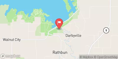
 Rathbun Lake Near Rathbun
 200th Avenue Appanoose County