Lake Lawtonka Near Lawton Reservoir Report
Last Updated: February 4, 2026
Lake Lawtonka is a reservoir located near Lawton, Oklahoma.
°F
°F
mph
Wind
%
Humidity
15-Day Weather Outlook
Summary
The lake was created in 1901 by the construction of a dam on Medicine Creek. The hydrology of the lake is primarily sourced from the Medicine Creek and tributaries of the Wichita River. The lake serves as a primary water supply for the City of Lawton, and it also provides irrigation water to nearby agricultural lands. The surface flow of the lake is heavily influenced by the amount of snowpack in the Wichita Mountains, which feed into the lake during the spring melt. Recreation activities such as fishing, boating, and camping are popular on the lake. The lake features several marinas, boat ramps, and day-use areas for visitors to enjoy.
Reservoir Details
| Gage Height, Ft 24hr Change | 0.0% |
| Percent of Normal | 100% |
| Minimum |
1,304.04 ft
2022-12-24 |
| Maximum |
1,349.94 ft
2022-12-23 |
| Average | 1,341 ft |
| Dam_Height | 90 |
| Hydraulic_Height | 90 |
| Drainage_Area | 92 |
| Year_Completed | 1939 |
| Nid_Storage | 88665 |
| Structural_Height | 90 |
| Foundations | Rock |
| Surface_Area | 2286 |
| Hazard_Potential | High |
| Outlet_Gates | Vertical Lift - 8 |
| River_Or_Stream | MEDICINE CREEK |
| Dam_Length | 612 |
| Primary_Dam_Type | Gravity |
| Nid_Height | 90 |
Seasonal Comparison
Reservoir Storage, Acre-Ft Levels
Gage Height, Ft Levels
Hourly Weather Forecast
Nearby Streamflow Levels
Dam Data Reference
Condition Assessment
SatisfactoryNo existing or potential dam safety deficiencies are recognized. Acceptable performance is expected under all loading conditions (static, hydrologic, seismic) in accordance with the minimum applicable state or federal regulatory criteria or tolerable risk guidelines.
Fair
No existing dam safety deficiencies are recognized for normal operating conditions. Rare or extreme hydrologic and/or seismic events may result in a dam safety deficiency. Risk may be in the range to take further action. Note: Rare or extreme event is defined by the regulatory agency based on their minimum
Poor A dam safety deficiency is recognized for normal operating conditions which may realistically occur. Remedial action is necessary. POOR may also be used when uncertainties exist as to critical analysis parameters which identify a potential dam safety deficiency. Investigations and studies are necessary.
Unsatisfactory
A dam safety deficiency is recognized that requires immediate or emergency remedial action for problem resolution.
Not Rated
The dam has not been inspected, is not under state or federal jurisdiction, or has been inspected but, for whatever reason, has not been rated.
Not Available
Dams for which the condition assessment is restricted to approved government users.
Hazard Potential Classification
HighDams assigned the high hazard potential classification are those where failure or mis-operation will probably cause loss of human life.
Significant
Dams assigned the significant hazard potential classification are those dams where failure or mis-operation results in no probable loss of human life but can cause economic loss, environment damage, disruption of lifeline facilities, or impact other concerns. Significant hazard potential classification dams are often located in predominantly rural or agricultural areas but could be in areas with population and significant infrastructure.
Low
Dams assigned the low hazard potential classification are those where failure or mis-operation results in no probable loss of human life and low economic and/or environmental losses. Losses are principally limited to the owner's property.
Undetermined
Dams for which a downstream hazard potential has not been designated or is not provided.
Not Available
Dams for which the downstream hazard potential is restricted to approved government users.

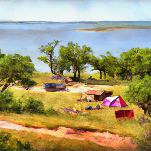 East Side - Lake Lawtonka
 Lake Elmer Thomas Military - Fort Sill
 Robinsons Landing - Lake Lawtonka
 Medicine Creek RV Military - Fort Sill
 Doris Campground - Wichita Mts NWR
 Doris Camp
 Lawtonka Lake
 Lake Lawtonka Near Lawton
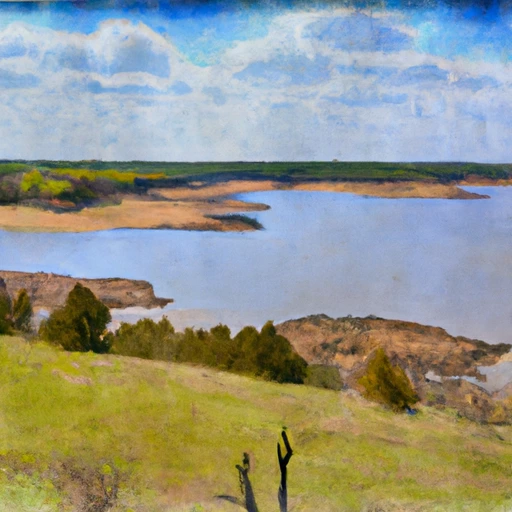 Lake Ellsworth Near Elgin