
Middle Fork Brush Creek At Edison Reservoir Report
Nearby: Brush Creek No.7a Brush Creek No.9
Last Updated: December 5, 2025
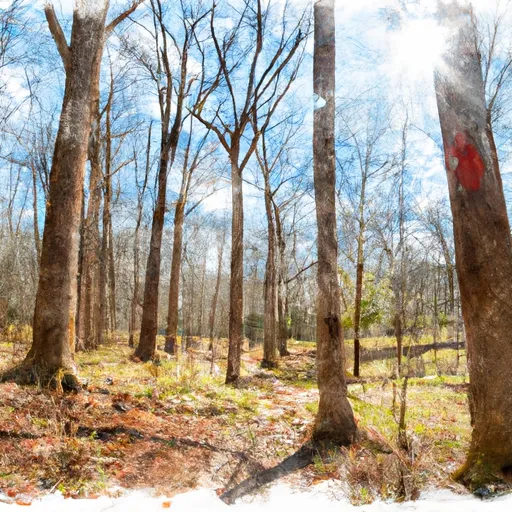
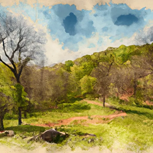
Middle Fork Brush Creek is a tributary of the West Fork River, located in the Appalachian Mountains of West Virginia.
°F
°F
mph
Wind
%
Humidity
Summary
The area has a rich history of coal mining and logging, with evidence of human settlement dating back over 10,000 years. The hydrology of Middle Fork Brush Creek is influenced by both surface water flow and snowpack, with the West Fork River watershed providing a significant source of water. The area is used for agricultural purposes, including grazing and hay production, as well as recreational activities such as fishing, camping, and hiking. The stream is also a popular spot for kayaking and canoeing, with its rapids and scenic views attracting adventure seekers from around the region. Despite its natural beauty, Middle Fork Brush Creek is also under threat from pollution and environmental degradation, highlighting the need for conservation efforts to protect this valuable resource.
Reservoir Details
| Gage Height, Ft 24hr Change | -0.05% |
| Percent of Normal | 107% |
| Minimum |
14.2 ft
2013-11-26 |
| Maximum |
24.13 ft
2025-02-16 |
| Average | 20 ft |
| Dam_Height | 48 |
| Hydraulic_Height | 41 |
| Drainage_Area | 2.05 |
| Year_Completed | 1975 |
| Nid_Storage | 2313 |
| Primary_Dam_Type | Earth |
| Foundations | Rock, Soil |
| Surface_Area | 68 |
| Outlet_Gates | Uncontrolled |
| River_Or_Stream | MIDDLE FORK |
| Dam_Length | 845 |
| Hazard_Potential | High |
| Nid_Height | 48 |
Seasonal Comparison
Gage Height, Ft Levels
Weather Forecast
Nearby Streamflow Levels
 Bluestone River At Falls Mills
|
20cfs |
 New River At Glen Lyn
|
1410cfs |
 Wolf Creek Near Narrows
|
73cfs |
 Bluestone River Near Pipestem
|
168cfs |
 Walker Creek At Bane
|
60cfs |
 Tug Fork At Welch
|
76cfs |
Dam Data Reference
Condition Assessment
SatisfactoryNo existing or potential dam safety deficiencies are recognized. Acceptable performance is expected under all loading conditions (static, hydrologic, seismic) in accordance with the minimum applicable state or federal regulatory criteria or tolerable risk guidelines.
Fair
No existing dam safety deficiencies are recognized for normal operating conditions. Rare or extreme hydrologic and/or seismic events may result in a dam safety deficiency. Risk may be in the range to take further action. Note: Rare or extreme event is defined by the regulatory agency based on their minimum
Poor A dam safety deficiency is recognized for normal operating conditions which may realistically occur. Remedial action is necessary. POOR may also be used when uncertainties exist as to critical analysis parameters which identify a potential dam safety deficiency. Investigations and studies are necessary.
Unsatisfactory
A dam safety deficiency is recognized that requires immediate or emergency remedial action for problem resolution.
Not Rated
The dam has not been inspected, is not under state or federal jurisdiction, or has been inspected but, for whatever reason, has not been rated.
Not Available
Dams for which the condition assessment is restricted to approved government users.
Hazard Potential Classification
HighDams assigned the high hazard potential classification are those where failure or mis-operation will probably cause loss of human life.
Significant
Dams assigned the significant hazard potential classification are those dams where failure or mis-operation results in no probable loss of human life but can cause economic loss, environment damage, disruption of lifeline facilities, or impact other concerns. Significant hazard potential classification dams are often located in predominantly rural or agricultural areas but could be in areas with population and significant infrastructure.
Low
Dams assigned the low hazard potential classification are those where failure or mis-operation results in no probable loss of human life and low economic and/or environmental losses. Losses are principally limited to the owner's property.
Undetermined
Dams for which a downstream hazard potential has not been designated or is not provided.
Not Available
Dams for which the downstream hazard potential is restricted to approved government users.
 Brush Creek No. 19a
 Middle Fork Brush Creek At Edison
 Pinnacle Rock State Park
 Appomattox-Buckingham State Forest
 Chestnut Ridge State Natural Area Preserve
 Wilderness Kimberling Creek