


Randell Lk Nr Denison Reservoir Report
Last Updated: April 28, 2026
Nearby: R And G Lake Dam Denison Dam
°F
°F
mph
Wind
%
Humidity
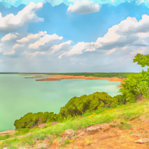
Randell Lake, located near Denison, Texas, was created in the 1950s by the United States Army Corps of Engineers as a part of the Red River Basin water management system.
Summary
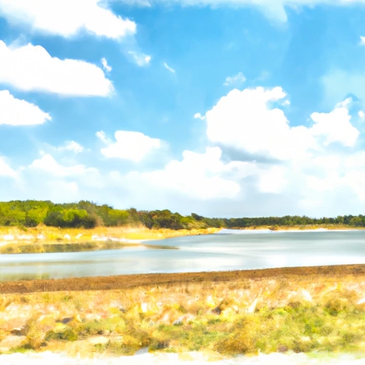
The lake has a capacity of 16,464 acre-feet and is mainly fed by the outflow from Lake Texoma. Hydrological studies have revealed that the lake has a high water quality, making it suitable for various recreational activities such as fishing, boating, and swimming. The lake area is also used for agricultural purposes such as grazing cattle, and wildlife habitat. The surface flow to the lake is mainly provided by tributaries of the Red River. Snowpack is not a significant contributor to the lake's water supply.
Regional Streamflow Levels
15-Day Long Term Forecast
Reservoir Details
| Lake Or Reservoir Water Surface Elevation Above Ngvd 1929, Ft 24hr Change | -0.01% |
| Percent of Normal | 98% |
| Minimum |
597.79 ft
2011-03-14 |
| Maximum |
623.24 ft
2010-02-09 |
| Average | 614 ft |
| Dam_Height | 55 |
| Hydraulic_Height | 55 |
| Drainage_Area | 10.13 |
| Years_Modified | 1940 - Structural, 2011 - Structural |
| Year_Completed | 1909 |
| Nid_Storage | 6824 |
| Structural_Height | 55 |
| Foundations | Soil |
| Surface_Area | 311 |
| Hazard_Potential | Not Available |
| Outlet_Gates | Other Controlled - 2, Tainter (radial) - 23, Uncontrolled - 1 |
| River_Or_Stream | SHAWNEE CREEK |
| Dam_Length | 1385 |
| Primary_Dam_Type | Earth |
| Nid_Height | 55 |
Seasonal Comparison
Lake Or Reservoir Water Surface Elevation Above Ngvd 1929, Ft Levels
5-Day Hourly Forecast Detail
Dam Data Reference
Condition Assessment
SatisfactoryNo existing or potential dam safety deficiencies are recognized. Acceptable performance is expected under all loading conditions (static, hydrologic, seismic) in accordance with the minimum applicable state or federal regulatory criteria or tolerable risk guidelines.
Fair
No existing dam safety deficiencies are recognized for normal operating conditions. Rare or extreme hydrologic and/or seismic events may result in a dam safety deficiency. Risk may be in the range to take further action. Note: Rare or extreme event is defined by the regulatory agency based on their minimum
Poor A dam safety deficiency is recognized for normal operating conditions which may realistically occur. Remedial action is necessary. POOR may also be used when uncertainties exist as to critical analysis parameters which identify a potential dam safety deficiency. Investigations and studies are necessary.
Unsatisfactory
A dam safety deficiency is recognized that requires immediate or emergency remedial action for problem resolution.
Not Rated
The dam has not been inspected, is not under state or federal jurisdiction, or has been inspected but, for whatever reason, has not been rated.
Not Available
Dams for which the condition assessment is restricted to approved government users.
Hazard Potential Classification
HighDams assigned the high hazard potential classification are those where failure or mis-operation will probably cause loss of human life.
Significant
Dams assigned the significant hazard potential classification are those dams where failure or mis-operation results in no probable loss of human life but can cause economic loss, environment damage, disruption of lifeline facilities, or impact other concerns. Significant hazard potential classification dams are often located in predominantly rural or agricultural areas but could be in areas with population and significant infrastructure.
Low
Dams assigned the low hazard potential classification are those where failure or mis-operation results in no probable loss of human life and low economic and/or environmental losses. Losses are principally limited to the owner's property.
Undetermined
Dams for which a downstream hazard potential has not been designated or is not provided.
Not Available
Dams for which the downstream hazard potential is restricted to approved government users.
Area Campgrounds
| Location | Reservations | Toilets |
|---|---|---|
 Dam Site
|
||
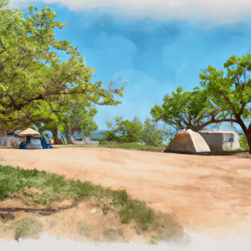
 Fossil Ridge Camping area
|
||
 Overflow Camping
|
||
 Elm Point Camping Area
|
||
 East Burns Run - Lake Texoma
|
||
 West Burns Run - Lake Texoma
|
 Randell Lk Nr Denison
 Lake Texoma Near Denison