


Randell Lake Dam Reservoir Report
Last Updated: April 28, 2026
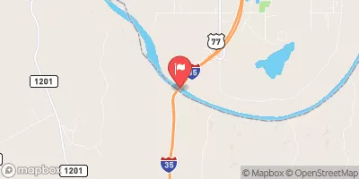
Nearby: R And G Lake Dam Denison Dam
°F
°F
mph
Wind
%
Humidity
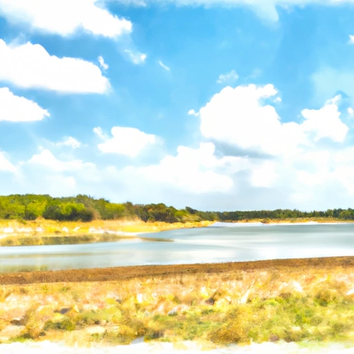
Randell Lake Dam, located in Grayson County, Texas, serves as a critical water supply infrastructure for the region.
Summary
Built in 1909, the dam stands at a height of 55 feet and spans 1385 feet, with a storage capacity of 6824 acre-feet. The dam is primarily constructed of earth and stone, with a soil foundation, and is regulated by the Texas Commission on Environmental Quality (TCEQ).
The dam's reservoir, fed by Shawnee Creek, covers a surface area of 311 acres and drains a catchment area of 10.13 square miles. With a maximum discharge capacity of 29,663 cubic feet per second, the dam has undergone structural modifications in 1940 and 2011 to ensure its integrity and functionality. The outlet system includes two controlled gates, 23 Tainter (radial) gates, and one uncontrolled gate.
Despite being assessed as in fair condition as of April 2021, Randell Lake Dam remains a crucial component of the local water management infrastructure. With its history of serving the community for over a century, the dam continues to play a vital role in water supply and resource management in the region.
Regional Streamflow Levels
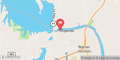 Red River At Denison Dam Nr Denison
|
464cfs |
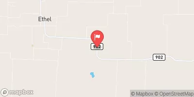 Range Ck Nr Collinsville
|
1cfs |
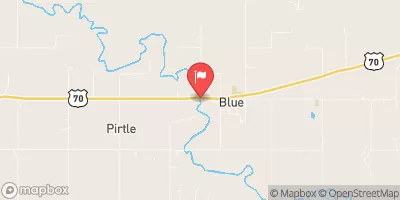 Blue River Near Blue
|
1400cfs |
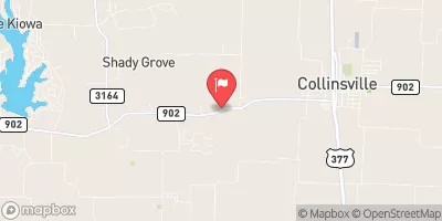 Timber Ck Nr Collinsville
|
4cfs |
 Red River Near Gainesville
|
1050cfs |
 Bois D'Arc Ck At Fm 1396 Nr Honey Grove
|
0cfs |
15-Day Long Term Forecast
Years Modified |
1940 - Structural, 2011 - Structural |
Year Completed |
1909 |
Dam Length |
1385 |
Dam Height |
55 |
River Or Stream |
SHAWNEE CREEK |
Primary Dam Type |
Earth |
Surface Area |
311 |
Hydraulic Height |
55 |
Drainage Area |
10.13 |
Nid Storage |
6824 |
Structural Height |
55 |
Outlet Gates |
Other Controlled - 2, Tainter (radial) - 23, Uncontrolled - 1 |
Hazard Potential |
Not Available |
Foundations |
Soil |
Nid Height |
55 |
Seasonal Comparison
5-Day Hourly Forecast Detail
Dam Data Reference
Condition Assessment
SatisfactoryNo existing or potential dam safety deficiencies are recognized. Acceptable performance is expected under all loading conditions (static, hydrologic, seismic) in accordance with the minimum applicable state or federal regulatory criteria or tolerable risk guidelines.
Fair
No existing dam safety deficiencies are recognized for normal operating conditions. Rare or extreme hydrologic and/or seismic events may result in a dam safety deficiency. Risk may be in the range to take further action. Note: Rare or extreme event is defined by the regulatory agency based on their minimum
Poor A dam safety deficiency is recognized for normal operating conditions which may realistically occur. Remedial action is necessary. POOR may also be used when uncertainties exist as to critical analysis parameters which identify a potential dam safety deficiency. Investigations and studies are necessary.
Unsatisfactory
A dam safety deficiency is recognized that requires immediate or emergency remedial action for problem resolution.
Not Rated
The dam has not been inspected, is not under state or federal jurisdiction, or has been inspected but, for whatever reason, has not been rated.
Not Available
Dams for which the condition assessment is restricted to approved government users.
Hazard Potential Classification
HighDams assigned the high hazard potential classification are those where failure or mis-operation will probably cause loss of human life.
Significant
Dams assigned the significant hazard potential classification are those dams where failure or mis-operation results in no probable loss of human life but can cause economic loss, environment damage, disruption of lifeline facilities, or impact other concerns. Significant hazard potential classification dams are often located in predominantly rural or agricultural areas but could be in areas with population and significant infrastructure.
Low
Dams assigned the low hazard potential classification are those where failure or mis-operation results in no probable loss of human life and low economic and/or environmental losses. Losses are principally limited to the owner's property.
Undetermined
Dams for which a downstream hazard potential has not been designated or is not provided.
Not Available
Dams for which the downstream hazard potential is restricted to approved government users.
Area Campgrounds
| Location | Reservations | Toilets |
|---|---|---|
 Dam Site
|
||
 Fossil Ridge Camping area
|
||
 Overflow Camping
|
||
 Elm Point Camping Area
|
||
 East Burns Run - Lake Texoma
|
||
 West Burns Run - Lake Texoma
|
 Randell Lk Nr Denison
 Lake Texoma Near Denison