


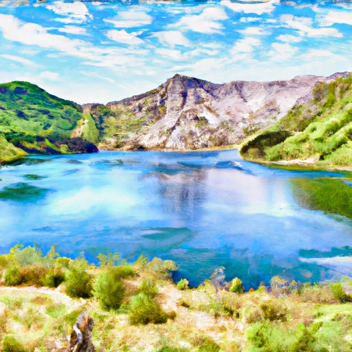
Malar Dam Reservoir Report
Last Updated: May 2, 2026
°F
°F
mph
Wind
%
Humidity
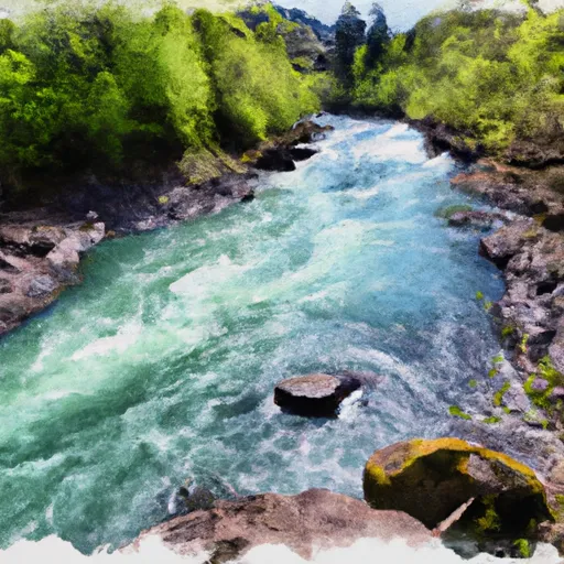
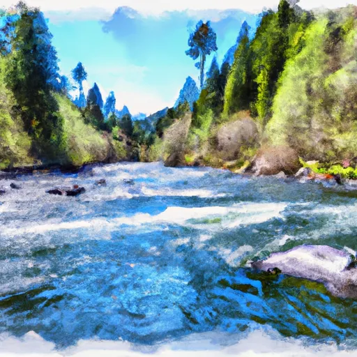
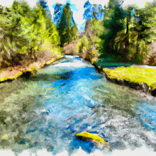
Malar Dam, located in Ridgefield, Washington, is a privately owned earth dam primarily used for irrigation purposes.
Summary
Completed in 1955, this dam stands at a hydraulic height of 40 feet and a structural height of 35 feet, with a length of 335 feet. The dam has a normal storage capacity of 24 acre-feet and a maximum storage of 42 acre-feet, serving the surrounding area with water from the Tr-Gee Creek.
Despite its low hazard potential, Malar Dam is regulated, inspected, and enforced by the Washington Dept of Ecology, ensuring its safety and compliance with state regulations. The dam's condition is currently not rated, and it has not undergone a recent inspection. While there are no associated structures or outlet gates, the dam serves a vital role in maintaining water resources for agricultural purposes in the region.
In the event of an emergency, the dam's Emergency Action Plan (EAP) status is unknown, and there are no inundation maps prepared. While the dam poses a low risk, the lack of recent assessments and emergency preparedness measures may warrant further attention to ensure the safety and reliability of Malar Dam for both water resource and climate enthusiasts in the area.
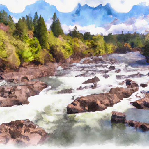
Regional Streamflow Levels
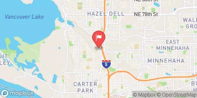 Burnt Bridge Creek Near Mouth At Vancouver
|
37cfs |
 Columbia Slough At Portland
|
567cfs |
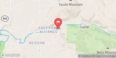 East Fork Lewis River Near Heisson
|
358cfs |
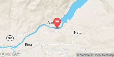 Lewis River At Ariel
|
2820cfs |
 Willamette River At Portland
|
20700cfs |
 Fanno Creek At 56th Ave
|
0cfs |
15-Day Long Term Forecast
Year Completed |
1955 |
Dam Length |
335 |
River Or Stream |
Tr-Gee Creek |
Primary Dam Type |
Earth |
Surface Area |
24 |
Hydraulic Height |
40 |
Drainage Area |
0.21 |
Nid Storage |
42 |
Structural Height |
35 |
Hazard Potential |
Low |
Foundations |
Soil |
Nid Height |
40 |
Seasonal Comparison
5-Day Hourly Forecast Detail
Dam Data Reference
Condition Assessment
SatisfactoryNo existing or potential dam safety deficiencies are recognized. Acceptable performance is expected under all loading conditions (static, hydrologic, seismic) in accordance with the minimum applicable state or federal regulatory criteria or tolerable risk guidelines.
Fair
No existing dam safety deficiencies are recognized for normal operating conditions. Rare or extreme hydrologic and/or seismic events may result in a dam safety deficiency. Risk may be in the range to take further action. Note: Rare or extreme event is defined by the regulatory agency based on their minimum
Poor A dam safety deficiency is recognized for normal operating conditions which may realistically occur. Remedial action is necessary. POOR may also be used when uncertainties exist as to critical analysis parameters which identify a potential dam safety deficiency. Investigations and studies are necessary.
Unsatisfactory
A dam safety deficiency is recognized that requires immediate or emergency remedial action for problem resolution.
Not Rated
The dam has not been inspected, is not under state or federal jurisdiction, or has been inspected but, for whatever reason, has not been rated.
Not Available
Dams for which the condition assessment is restricted to approved government users.
Hazard Potential Classification
HighDams assigned the high hazard potential classification are those where failure or mis-operation will probably cause loss of human life.
Significant
Dams assigned the significant hazard potential classification are those dams where failure or mis-operation results in no probable loss of human life but can cause economic loss, environment damage, disruption of lifeline facilities, or impact other concerns. Significant hazard potential classification dams are often located in predominantly rural or agricultural areas but could be in areas with population and significant infrastructure.
Low
Dams assigned the low hazard potential classification are those where failure or mis-operation results in no probable loss of human life and low economic and/or environmental losses. Losses are principally limited to the owner's property.
Undetermined
Dams for which a downstream hazard potential has not been designated or is not provided.
Not Available
Dams for which the downstream hazard potential is restricted to approved government users.
Area Campgrounds
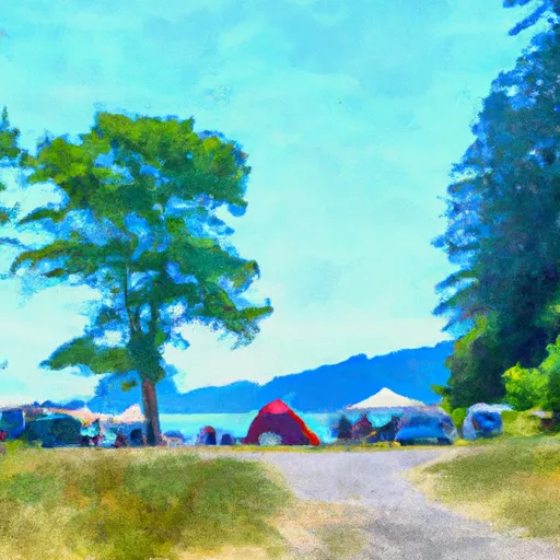 Paradise Point State Park
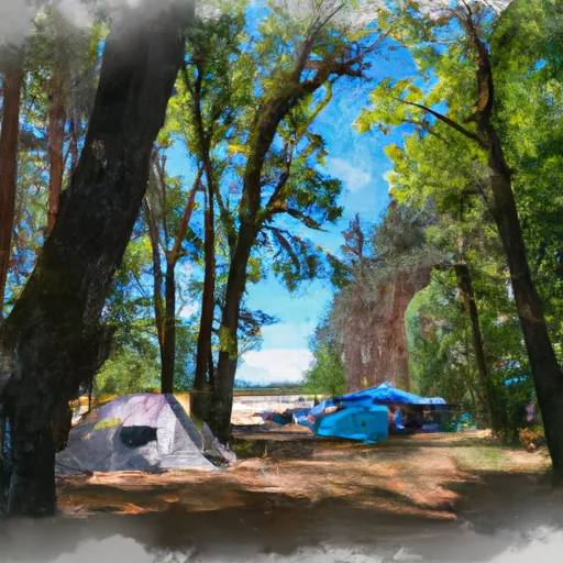 Battle Ground Lake State Park
 Cold Creek- State Forest
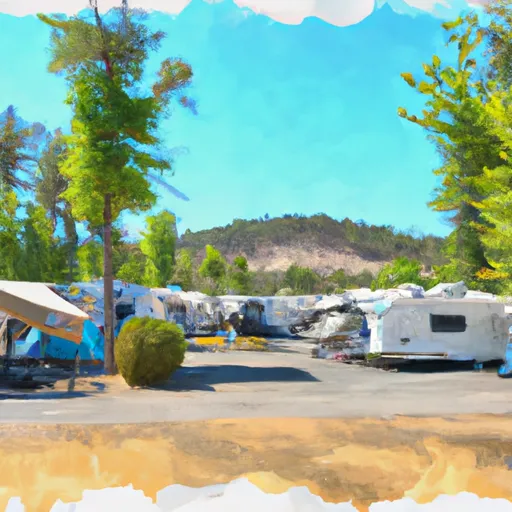 Louis Rasmussen RV Park
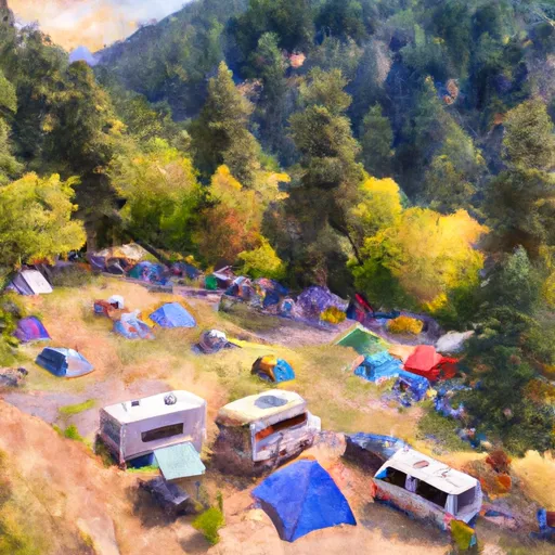 Campground: Sunset Falls Campground and Day Use
 Scaponia County Park
 Castle Lake Nr Mount St Helens Nr Spirit Lake
 Bull Run Lake Near Brightwood
 Lake Scanewa Near Kosmos
 Northwest La Center Road La Center
River Runs
-
 Headwaters In Sw 1/4 Of Sec 8, T4N, R6E To Gifford Pinchot Nf Boundary
-
 Nw1/4 Of Sec 9, T5N, R6E To Ne1/4 Of Sec 6, T5N, R5E
-
 Nehalem River
-
 Clackamas River
-
 Gifford Pinchot Nf Boundary To Maximum Pool Of Swift Reservoir In Nw1/4 Of Sec 35, T7N, R6E
-
 Headwaters In Sw1/4 Of Sec 13, T6N, R7E To Hemlock Road Bridge In Nw1/4 Of Sec 26, T4N, R7E