
Badger Mountain Irr Dist Reservoir Expan Reservoir Report
Last Updated: April 1, 2026
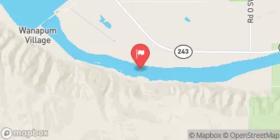
The Badger Mountain Irrigation District Reservoir Expansion project in West Richland, Washington, is a significant water infrastructure development aimed at enhancing irrigation capabilities in the region.
Summary
Completed in 1977, this public utility project serves the primary purpose of irrigation, supporting agricultural activities in Benton County. With a storage capacity of 14 acre-feet and a hydraulic height of 5 feet, the reservoir expansion project plays a crucial role in water resource management and sustenance for the local community.
Situated along the Tr-Amon Wasteway, the Badger Mountain Reservoir Expansion is regulated by the Washington Department of Ecology, ensuring compliance with state permitting, inspection, and enforcement requirements. The dam structure, primarily made of earth and rockfill core, spans an area of 10 acres and boasts a fair condition assessment as of the last inspection date in August 2015. With a hazard potential classified as high, the reservoir expansion project's emergency action plan and risk management measures are essential aspects to consider for sustainable water resource management and climate resilience in the region.
Representing a key irrigation infrastructure asset in the area, the Badger Mountain Irrigation District Reservoir Expansion project underscores the importance of water resource development and management in supporting agricultural activities and community livelihoods. With a focus on water sustainability and climate adaptation, this reservoir expansion project serves as a critical component of the region's water infrastructure, contributing to the efficient use of water resources and enhancing resilience to changing climatic conditions.
°F
°F
mph
Wind
%
Humidity
15-Day Weather Outlook
Year Completed |
1977 |
River Or Stream |
Tr-Amon Wasteway |
Primary Dam Type |
Earth |
Surface Area |
10 |
Hydraulic Height |
5 |
Drainage Area |
10 |
Nid Storage |
14 |
Structural Height |
5 |
Hazard Potential |
High |
Foundations |
Soil |
Nid Height |
5 |
Seasonal Comparison
5-Day Hourly Forecast Detail
Nearby Streamflow Levels
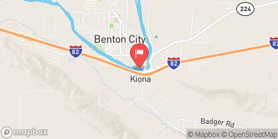 Yakima River At Kiona
|
8980cfs |
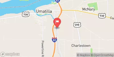 Umatilla River Near Umatilla
|
210cfs |
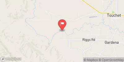 Walla Walla River Near Touchet
|
953cfs |
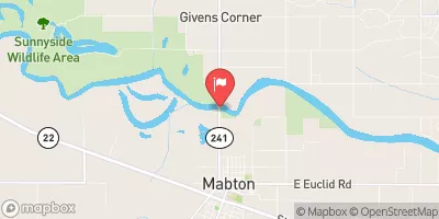 Yakima River At Mabton
|
4700cfs |
 Columbia River Below Priest Rapids Dam
|
160000cfs |
 Granger Drain At Granger
|
18cfs |
Dam Data Reference
Condition Assessment
SatisfactoryNo existing or potential dam safety deficiencies are recognized. Acceptable performance is expected under all loading conditions (static, hydrologic, seismic) in accordance with the minimum applicable state or federal regulatory criteria or tolerable risk guidelines.
Fair
No existing dam safety deficiencies are recognized for normal operating conditions. Rare or extreme hydrologic and/or seismic events may result in a dam safety deficiency. Risk may be in the range to take further action. Note: Rare or extreme event is defined by the regulatory agency based on their minimum
Poor A dam safety deficiency is recognized for normal operating conditions which may realistically occur. Remedial action is necessary. POOR may also be used when uncertainties exist as to critical analysis parameters which identify a potential dam safety deficiency. Investigations and studies are necessary.
Unsatisfactory
A dam safety deficiency is recognized that requires immediate or emergency remedial action for problem resolution.
Not Rated
The dam has not been inspected, is not under state or federal jurisdiction, or has been inspected but, for whatever reason, has not been rated.
Not Available
Dams for which the condition assessment is restricted to approved government users.
Hazard Potential Classification
HighDams assigned the high hazard potential classification are those where failure or mis-operation will probably cause loss of human life.
Significant
Dams assigned the significant hazard potential classification are those dams where failure or mis-operation results in no probable loss of human life but can cause economic loss, environment damage, disruption of lifeline facilities, or impact other concerns. Significant hazard potential classification dams are often located in predominantly rural or agricultural areas but could be in areas with population and significant infrastructure.
Low
Dams assigned the low hazard potential classification are those where failure or mis-operation results in no probable loss of human life and low economic and/or environmental losses. Losses are principally limited to the owner's property.
Undetermined
Dams for which a downstream hazard potential has not been designated or is not provided.
Not Available
Dams for which the downstream hazard potential is restricted to approved government users.
 Badger Mountain Irr Dist Reservoir Expan
 Chamna Trail Tri-Cities