Beltzville Lake Near Parryville Reservoir Report
Last Updated: February 23, 2026
Beltzville Lake, located near Parryville, Pennsylvania, was created in the 1970s as part of a flood control project by the U.S.
Summary
Army Corps of Engineers. The lake is fed by the Pohopoco Creek and two smaller tributaries and provides hydroelectric power to the surrounding areas. The lake has a surface area of 949 acres and is surrounded by Beltzville State Park, offering recreational activities such as fishing, boating, hiking, and camping. The snowpack and surface flow from the surrounding hills and forests provide water to the lake. The lake also serves as a source of drinking water for the local communities. The surrounding land is used for agriculture, primarily for crops such as corn and soybeans.
°F
°F
mph
Wind
%
Humidity
15-Day Weather Outlook
Reservoir Details
| Elevation Of Reservoir Water Surface Above Datum, Ft 24hr Change | 0.0% |
| Percent of Normal | 100% |
| Minimum |
610.22 ft
2016-11-28 |
| Maximum |
638.75 ft
2011-03-14 |
| Average | 628 ft |
| Hydraulic_Height | 172 |
| Drainage_Area | 96 |
| Year_Completed | 1969 |
| Nid_Storage | 103625 |
| River_Or_Stream | POHOPOCO CREEK |
| Structural_Height | 177 |
| Primary_Dam_Type | Rockfill |
| Foundations | Rock |
| Surface_Area | 947 |
| Dam_Length | 4560 |
| Hazard_Potential | High |
| Nid_Height | 177 |
Seasonal Comparison
Precipitation, Total, In Levels
Elevation Of Reservoir Water Surface Above Datum, Ft Levels
5-Day Hourly Forecast Detail
Nearby Streamflow Levels
Dam Data Reference
Condition Assessment
SatisfactoryNo existing or potential dam safety deficiencies are recognized. Acceptable performance is expected under all loading conditions (static, hydrologic, seismic) in accordance with the minimum applicable state or federal regulatory criteria or tolerable risk guidelines.
Fair
No existing dam safety deficiencies are recognized for normal operating conditions. Rare or extreme hydrologic and/or seismic events may result in a dam safety deficiency. Risk may be in the range to take further action. Note: Rare or extreme event is defined by the regulatory agency based on their minimum
Poor A dam safety deficiency is recognized for normal operating conditions which may realistically occur. Remedial action is necessary. POOR may also be used when uncertainties exist as to critical analysis parameters which identify a potential dam safety deficiency. Investigations and studies are necessary.
Unsatisfactory
A dam safety deficiency is recognized that requires immediate or emergency remedial action for problem resolution.
Not Rated
The dam has not been inspected, is not under state or federal jurisdiction, or has been inspected but, for whatever reason, has not been rated.
Not Available
Dams for which the condition assessment is restricted to approved government users.
Hazard Potential Classification
HighDams assigned the high hazard potential classification are those where failure or mis-operation will probably cause loss of human life.
Significant
Dams assigned the significant hazard potential classification are those dams where failure or mis-operation results in no probable loss of human life but can cause economic loss, environment damage, disruption of lifeline facilities, or impact other concerns. Significant hazard potential classification dams are often located in predominantly rural or agricultural areas but could be in areas with population and significant infrastructure.
Low
Dams assigned the low hazard potential classification are those where failure or mis-operation results in no probable loss of human life and low economic and/or environmental losses. Losses are principally limited to the owner's property.
Undetermined
Dams for which a downstream hazard potential has not been designated or is not provided.
Not Available
Dams for which the downstream hazard potential is restricted to approved government users.
Area Campgrounds
| Location | Reservations | Toilets |
|---|---|---|
 Riders Resort
|
||
 Emerald Hollow Campground
|
||
 The Woods LGBT Camping Resort
|
||
 Don Laine Campground
|
||
 Jim Thorpe Campground
|
||
 Mauch Chunk Lake County Park
|

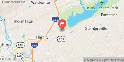
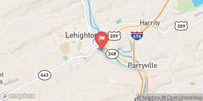
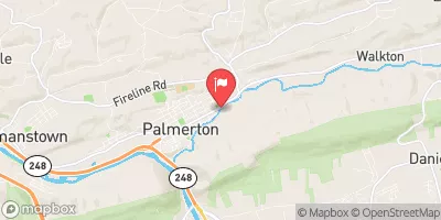
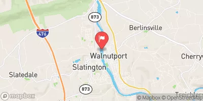
 Beltzville Dam
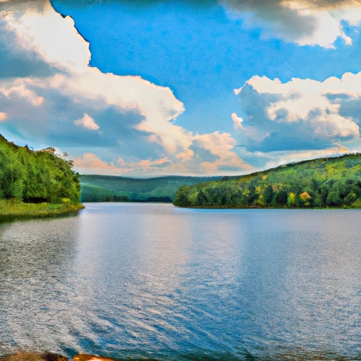 Beltzville Lake Near Parryville
 Pine Run