


Kurt Sherman Dam (Upper Pond) Reservoir Report
Last Updated: April 26, 2026
°F
°F
mph
Wind
%
Humidity
Kurt Sherman Dam (Upper Pond) is a privately owned structure located in Dry Run, Maryland, with a primary purpose of recreation.
Summary
Originally completed in 1957 by Heisey Orchards, the dam stands at a height of 28 feet and has a storage capacity of 58.5 acre-feet. The dam serves for both irrigation and recreational purposes, with a surface area of 4 acres and a drainage area of 0.03 square miles.
Despite its recreational value, Kurt Sherman Dam poses a high hazard potential due to its poor condition assessment. The dam's spillway type is uncontrolled, with a width of 3 feet. The last inspection was conducted in December 2017, indicating a need for regular maintenance and risk management measures to ensure public safety.
Climate and water resource enthusiasts interested in Kurt Sherman Dam (Upper Pond) should be aware of its location in Washington County, Maryland, and the potential risks associated with its high hazard potential. With a moderate risk assessment score of 3, this dam requires attention to prevent any potential emergencies or failures. Regular inspections and maintenance are crucial to ensure the safety of the surrounding community and the sustainability of the water resource for future generations.
Regional Streamflow Levels
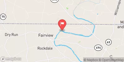 Conococheague Creek At Fairview
|
273cfs |
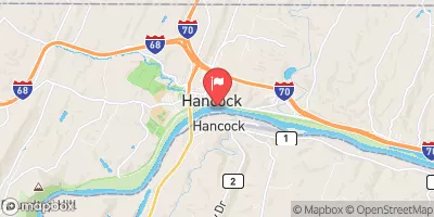 Potomac River At Hancock
|
1190cfs |
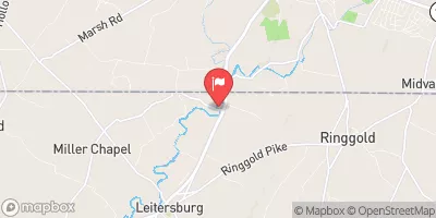 Antietam Creek Near Waynesboro
|
87cfs |
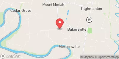 Marsh Run At Grimes
|
9cfs |
 Back Creek Near Jones Springs
|
35cfs |
 Tonoloway Creek Near Needmore
|
5cfs |
15-Day Long Term Forecast
Year Completed |
1957 |
Dam Length |
1060 |
Dam Height |
28 |
River Or Stream |
Offstream-Dry Run |
Primary Dam Type |
Earth |
Surface Area |
4 |
Hydraulic Height |
26 |
Drainage Area |
0.03 |
Nid Storage |
58.5 |
Structural Height |
27 |
Outlet Gates |
Needle - 0 |
Hazard Potential |
High |
Foundations |
Soil |
Nid Height |
28 |
Seasonal Comparison
5-Day Hourly Forecast Detail
Dam Data Reference
Condition Assessment
SatisfactoryNo existing or potential dam safety deficiencies are recognized. Acceptable performance is expected under all loading conditions (static, hydrologic, seismic) in accordance with the minimum applicable state or federal regulatory criteria or tolerable risk guidelines.
Fair
No existing dam safety deficiencies are recognized for normal operating conditions. Rare or extreme hydrologic and/or seismic events may result in a dam safety deficiency. Risk may be in the range to take further action. Note: Rare or extreme event is defined by the regulatory agency based on their minimum
Poor A dam safety deficiency is recognized for normal operating conditions which may realistically occur. Remedial action is necessary. POOR may also be used when uncertainties exist as to critical analysis parameters which identify a potential dam safety deficiency. Investigations and studies are necessary.
Unsatisfactory
A dam safety deficiency is recognized that requires immediate or emergency remedial action for problem resolution.
Not Rated
The dam has not been inspected, is not under state or federal jurisdiction, or has been inspected but, for whatever reason, has not been rated.
Not Available
Dams for which the condition assessment is restricted to approved government users.
Hazard Potential Classification
HighDams assigned the high hazard potential classification are those where failure or mis-operation will probably cause loss of human life.
Significant
Dams assigned the significant hazard potential classification are those dams where failure or mis-operation results in no probable loss of human life but can cause economic loss, environment damage, disruption of lifeline facilities, or impact other concerns. Significant hazard potential classification dams are often located in predominantly rural or agricultural areas but could be in areas with population and significant infrastructure.
Low
Dams assigned the low hazard potential classification are those where failure or mis-operation results in no probable loss of human life and low economic and/or environmental losses. Losses are principally limited to the owner's property.
Undetermined
Dams for which a downstream hazard potential has not been designated or is not provided.
Not Available
Dams for which the downstream hazard potential is restricted to approved government users.
 Jordan Junction Campsite
 Jordan Junction Hiker Biker Campsite
 North Mountain Campsite
 North Mountain Hiker Biker Campsite
 McCoys Ferry Campground
 McCoys Ferry - C and O Canal National Park